| Bloodvein River Solo 2015 |
|---|
|
Saturday Aug 15 – Day 20
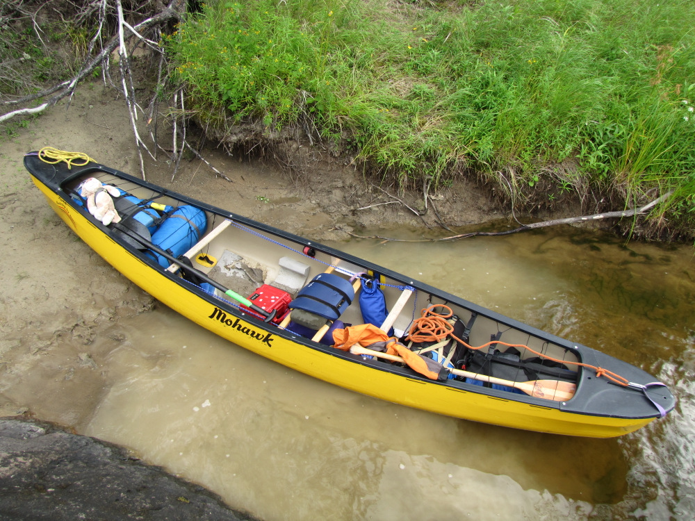
Time: 5 hours 24 minutes Distance: 17.0 km It never did rain overnight, the stars were out but I could tell that the sky was still a bit hazy. I got up a little after 11:00 feeling well rested, made the standard tea & oatmeal for breakfast. The sky is 100% covered in cloud, certainly looks and feels like it will rain again today. I called Blue Water Aviation to update them on my eta at Bloodvein Village, weather forecast calls for rain and/or thunderstorms tonight, rain on Sunday and then clearing for Monday. The wind is picking up, I have a feeling the rain will be here soon. I spent the usual 3 hours get ready to leave, almost left without my hat! |
|
|
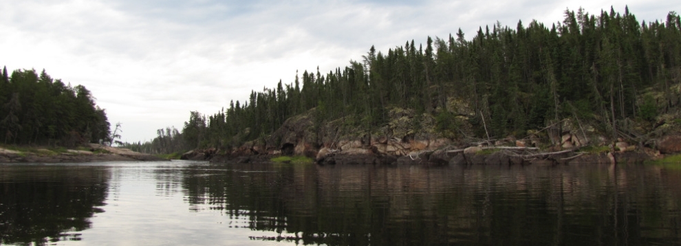
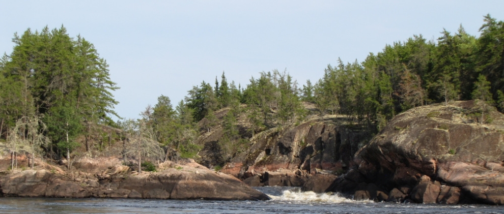
| The wind came and went, it never did rain and when I pushed off at 2:00pm all was calm. Nothing spectacular in the way of scenery along the river today except at the bigger rapids, even so it’s pleasant throughout, embellished somewhat by the afternoon light filtered by the cloud cover. |
 |
 |
 |
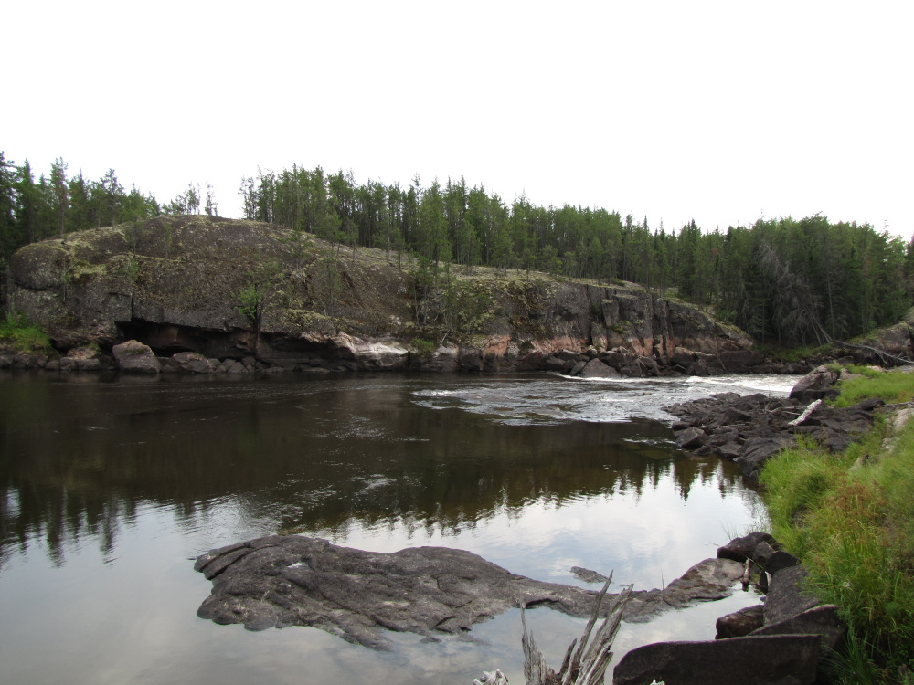
| About 1km from camp is Kineewi Rapids a mandatory portage CV. I carried a load along the well-worn trail, near the start there is a red Coleman canoe on the ground, it’s had a few repairs but in spite the lichen growing on it I think it would still float. I moved my boat to a low water take-out to shorten the carry a bit, 2 more loads and a boat drag into the nice rock lagoon. I paddled out into the main flow; the CII bottom was insignificant at these levels. I stopped on the rocks below for an actual lunch break, tuna wrap, cheese wrap and one of my remaining apples. |
 |
 |
 |
 |
 |
 |
 |
 |
 |
 |
 |
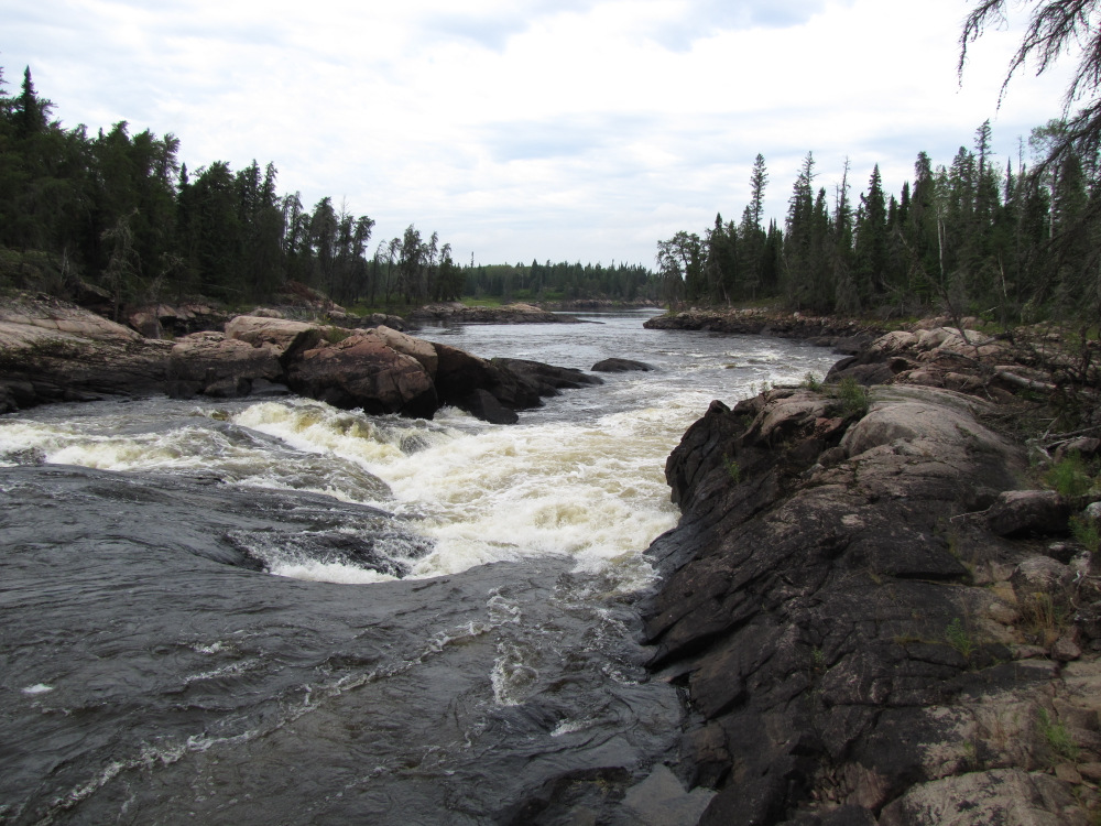
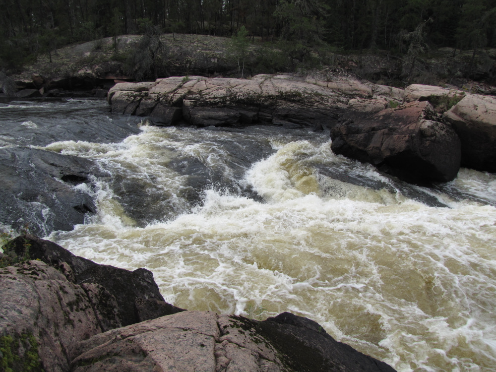
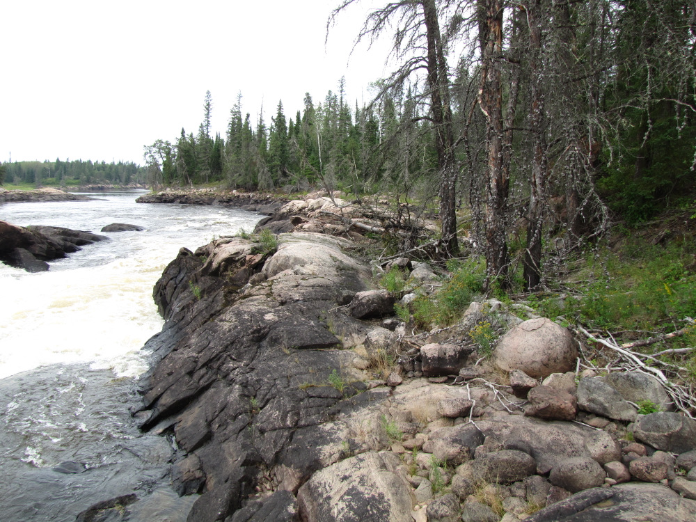
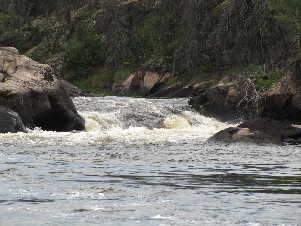
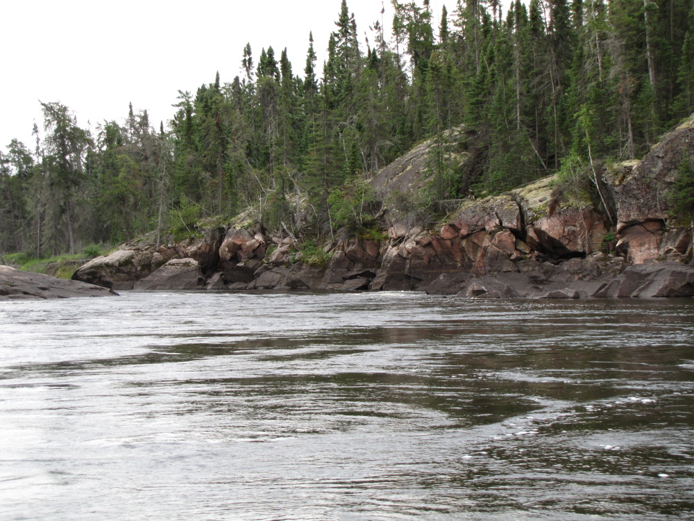
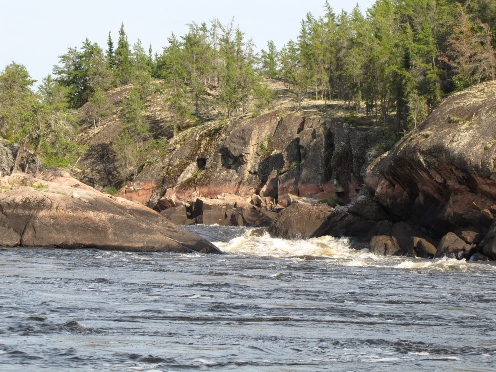
| Rapid #75 wasn’t much more than a big swift. Rapid #76, Wayweekokanshok Falls, HW indicates that this CIV might be runnable on RR, unfortunately from the portage trail the view of the water is completely blocked by a high rock “island”, the trail runs along a small breakup high water channel, it’s short and mostly flat, it would probably take more time and effort to scout than to simply portage so I did my usual 3 carries and a boat drag. I am starting to notice the reduced weight of my gear with 20 days of food consumed. |
 |
 |
 |
 |
 |
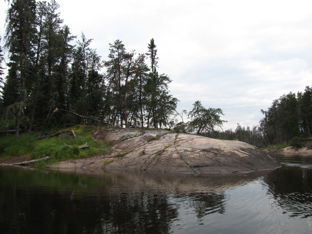
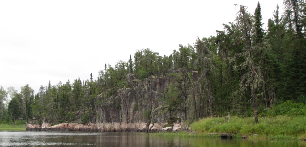
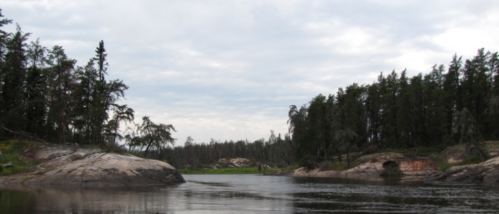
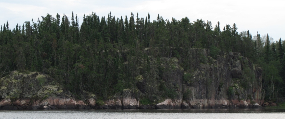
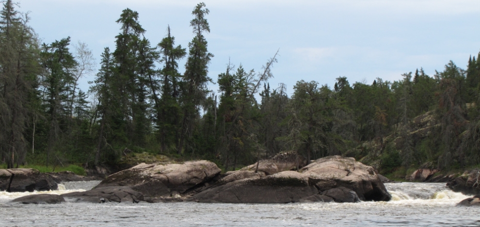
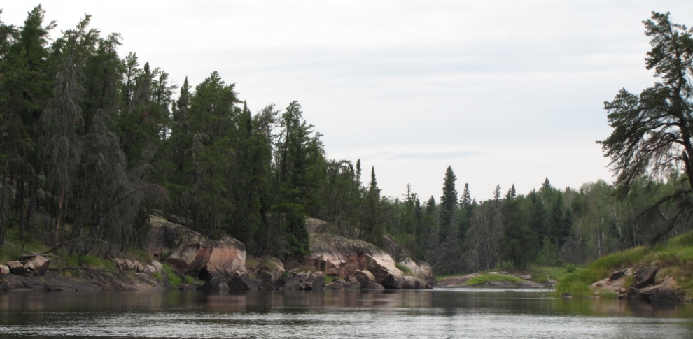
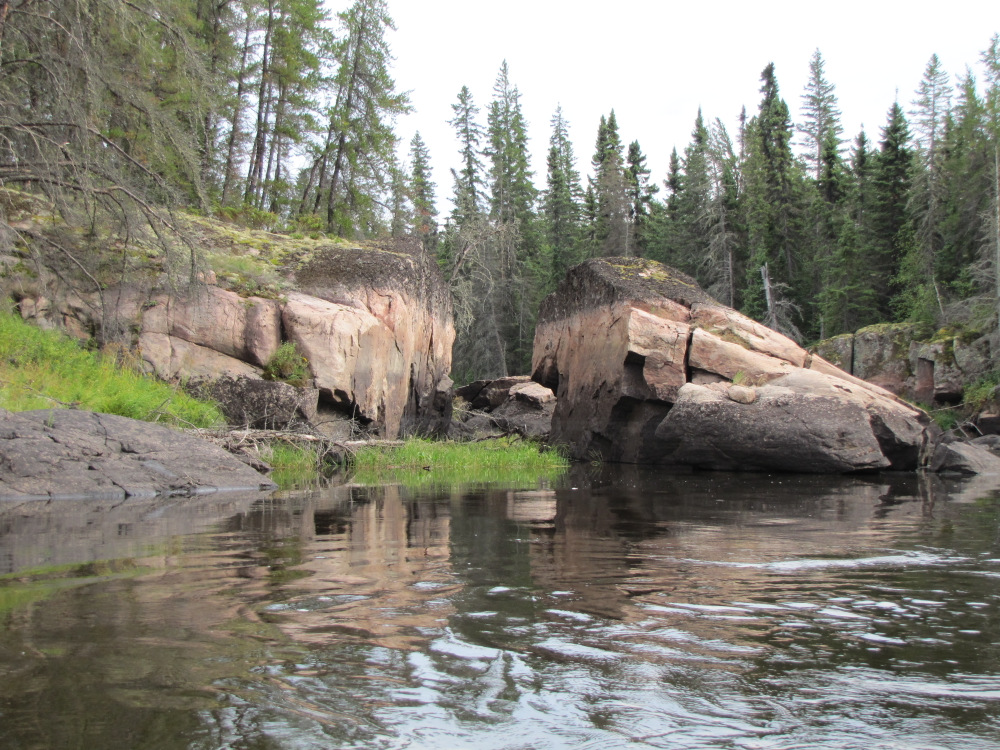
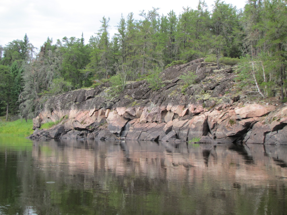
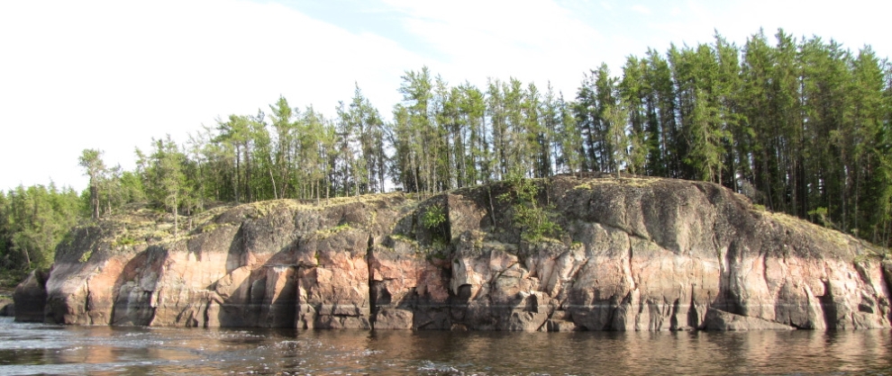
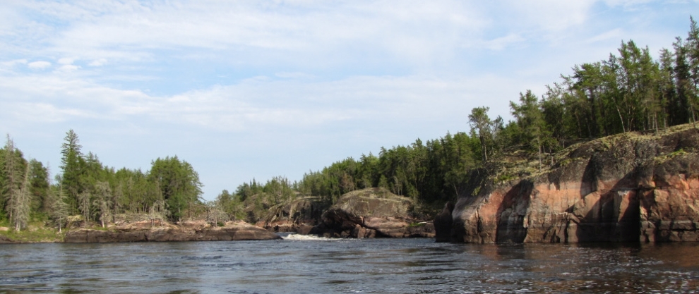
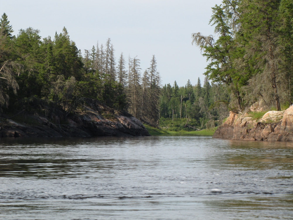
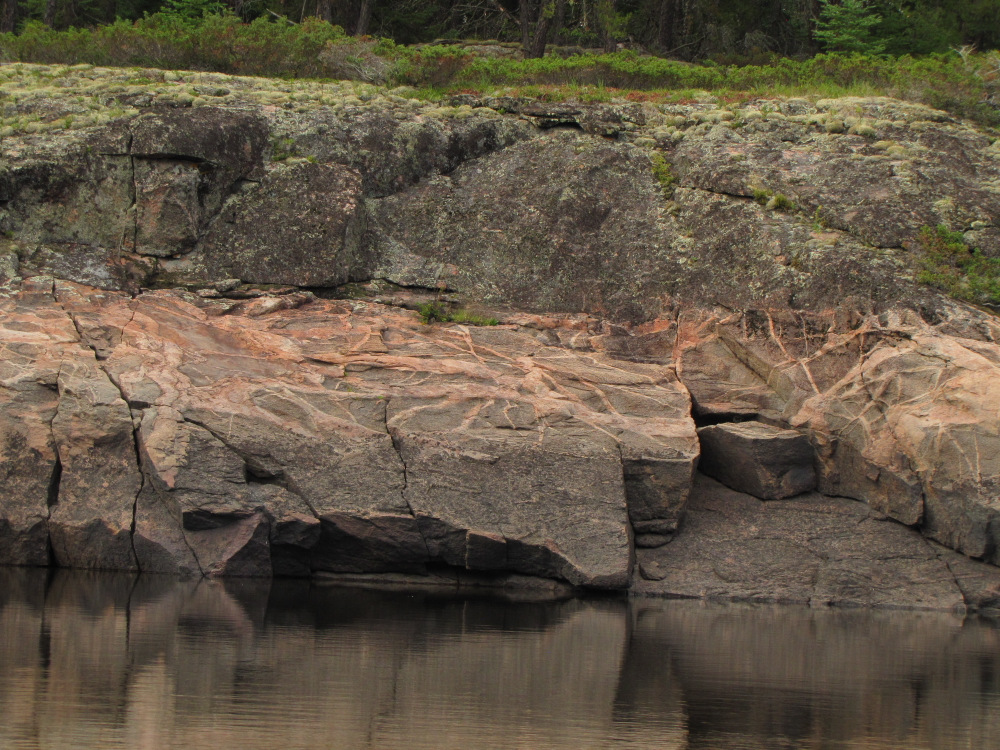
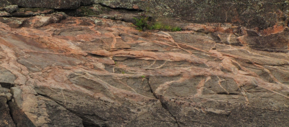
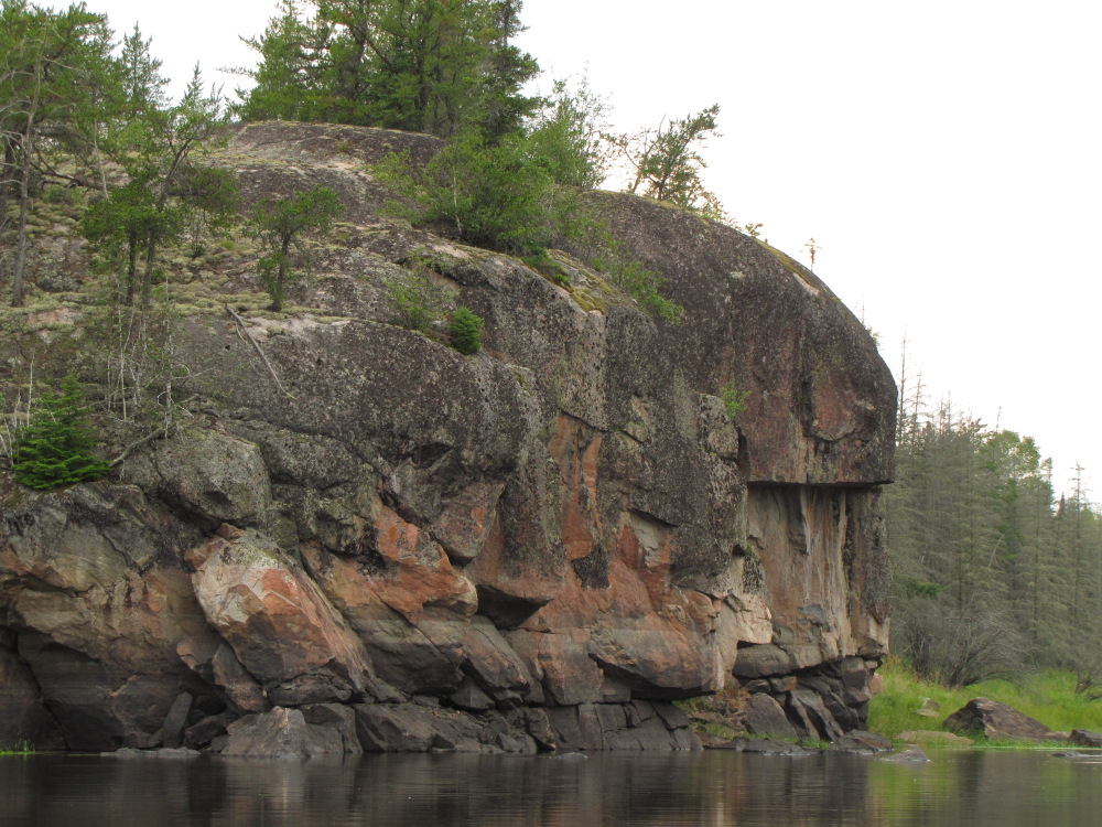
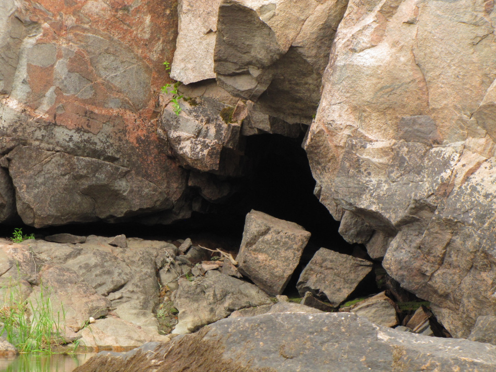
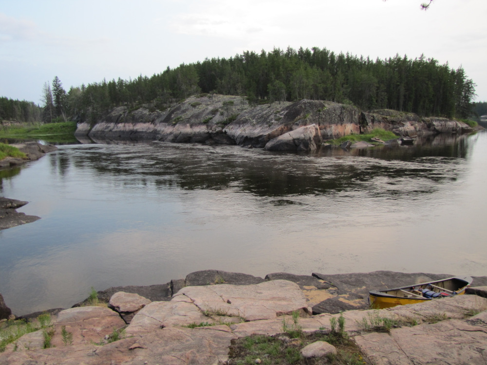
| From here it’s about 3 km to where the river take a 90 degree turn to the left along a fault line, there is one small CI (swift) to deal with. After the turn it’s another 3km or so to a marked campsite at the CI #78. Past this point it’s a long way to the next certain camp (plenty of “bushwack” places available all along the river), further than I felt like attempting so I opted to leisurely paddle the 6km, enjoying the rock cliffs and taking pictures as the sun broke through the cloud cover. There is just a slight bit of current at the campsite; I pulled in to the convenient parking spot. HW mentions running the right channel here….not a chance, there is NO water there, and the island is a peninsula! |
 |
 |
 |
 |
 |
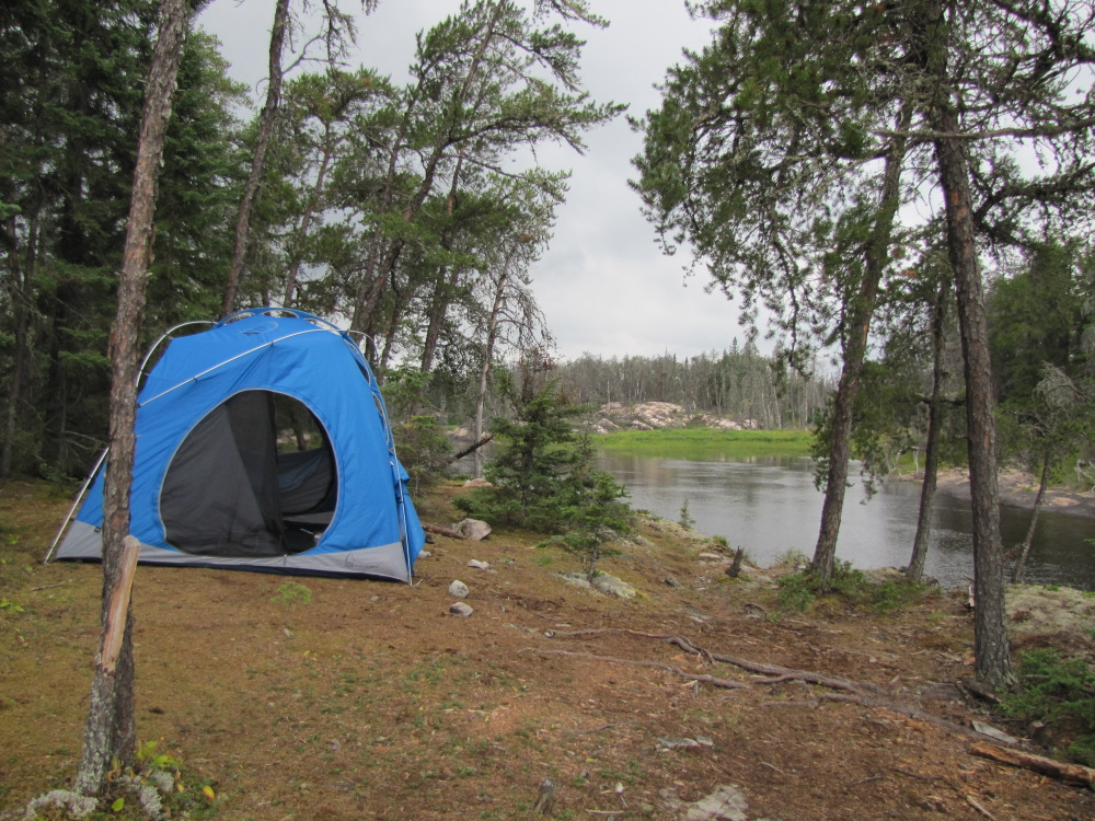
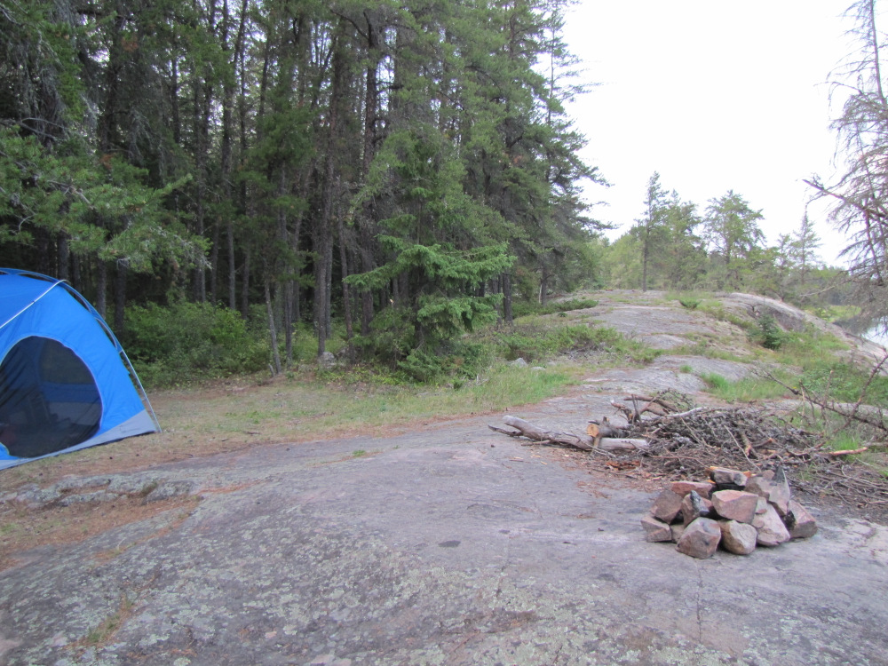
| It’s a nice campsite, well used with several separate areas, even a plastic thunder box back in the trees. It’s a bit on the warm side and more humid than it’s been; a few bugs appeared as I set up the hut. Having had a late lunch I just nibbled on a few things, around 11:00 I heated up a meal in a bag and settled into my sleeping bag. Listening to some music I thought about my strategy, the trip is definitely moving into wind down mode. I have a little over 40km remaining to Bloodvein Village, my original plan called for 21 days, that’s tomorrow! Time for a new plan I think, there are at least a couple of portages ahead, the likelihood of covering that amount of distance is remote unless I want to paddle the last 4 or 5 hours in the dark. Simple solution, extend the trip, it’s a rare situation to have total flexibility no point squandering it, maybe the weather will improve as forecast. |
 |
 |
| Previous Day | Contents | Next Day |
| Main Page |