| Bloodvein River Solo 2015 |
|---|
|
Friday Aug 14 – Day 19
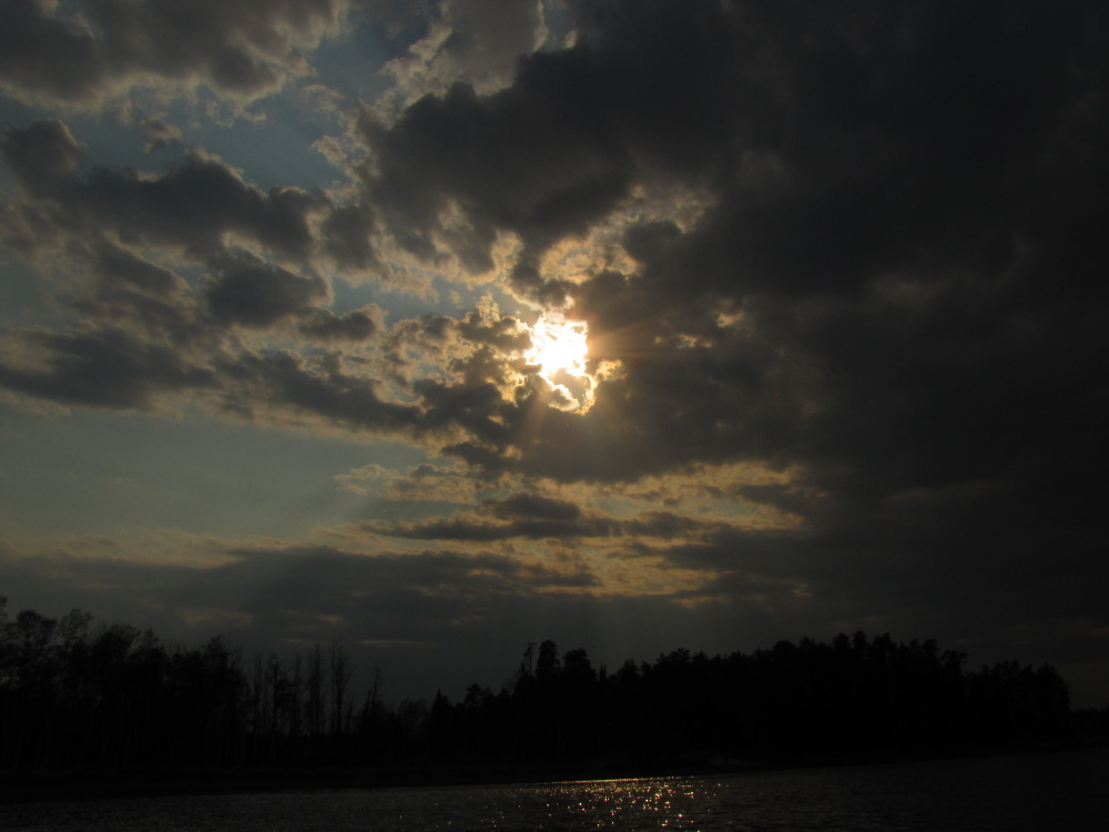
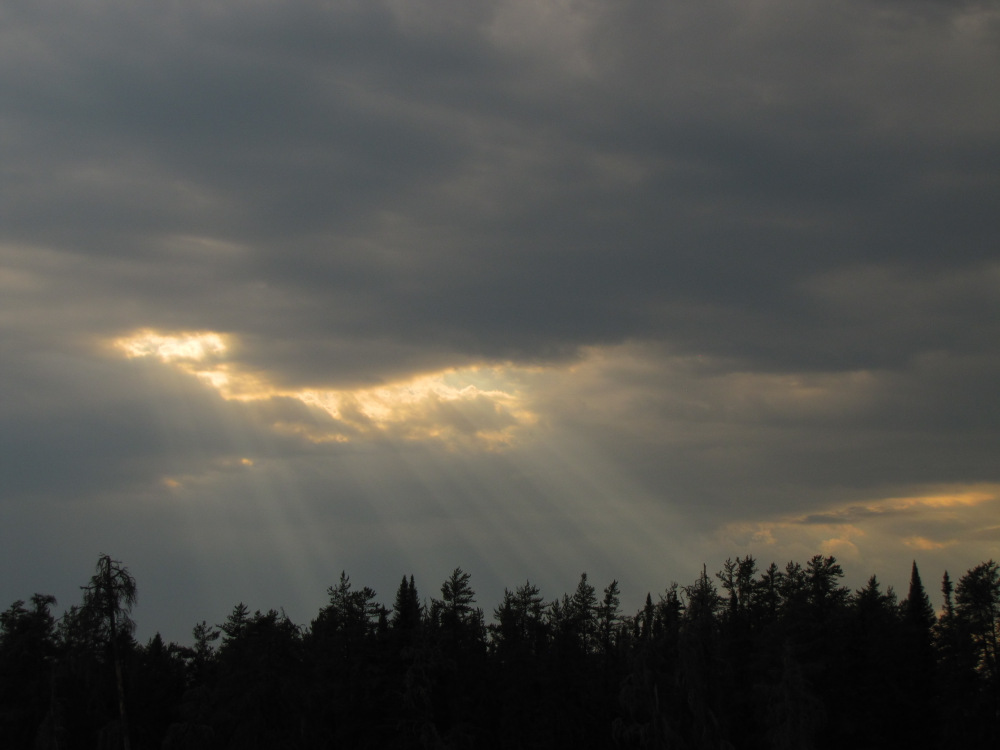
Time: 4 hours 36 minutes Distance: 16.6 km I got up at 10:00am, amazing given how late I stayed up last night. Thinking I’m ahead of the game I made pancakes for breakfast. It was warm and overcast with rain threatening, instead of packing up I rigged the tarp. It was just before Noon, I hadn’t planned on an early start so I decided to wait to see how the rain went. The sky didn’t look like anything major was in the offing, a few rain drops fell but soon the cloud started to break up, by 3:00pm I was finally ready to go, full sun now and getting warmer. |
|
|
 |
 |
 |
 |
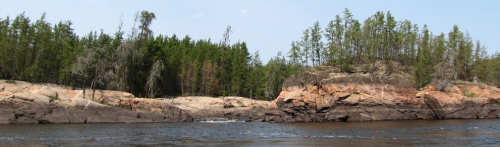 |
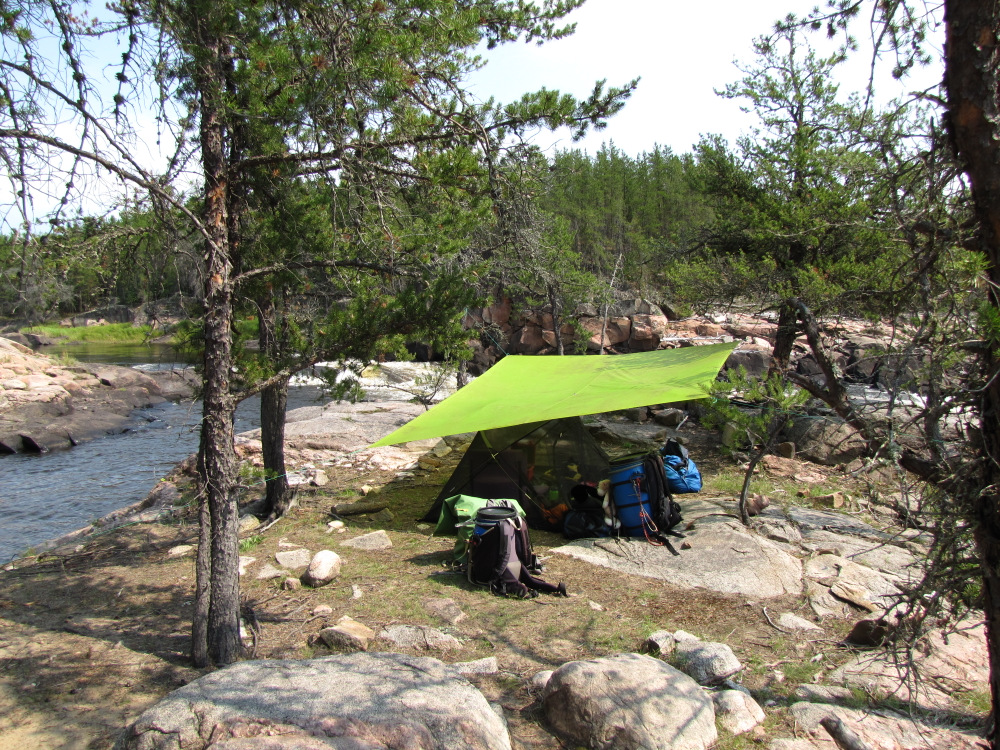
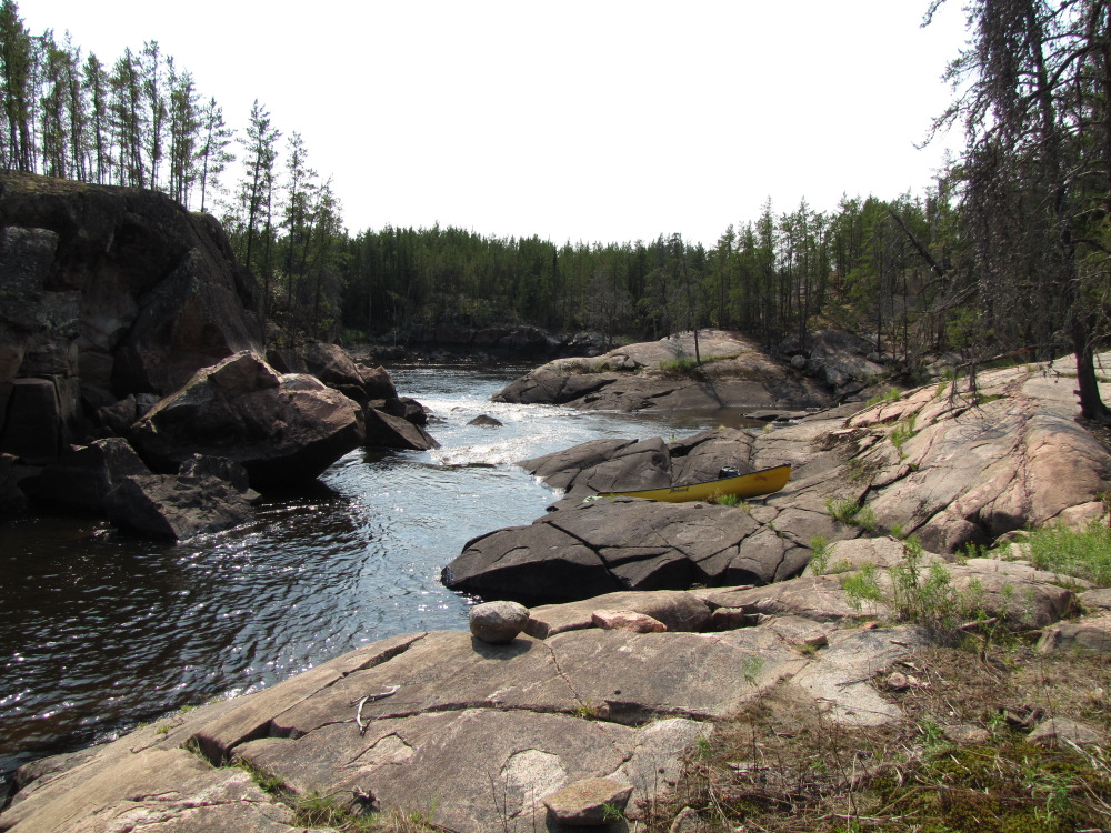
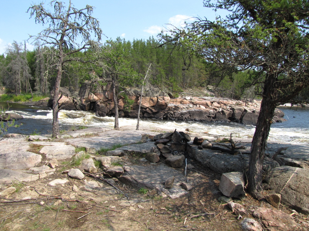
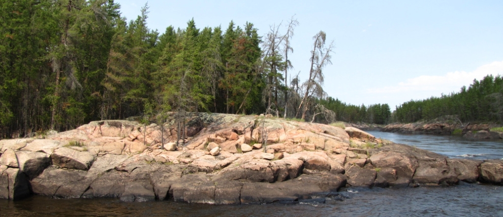
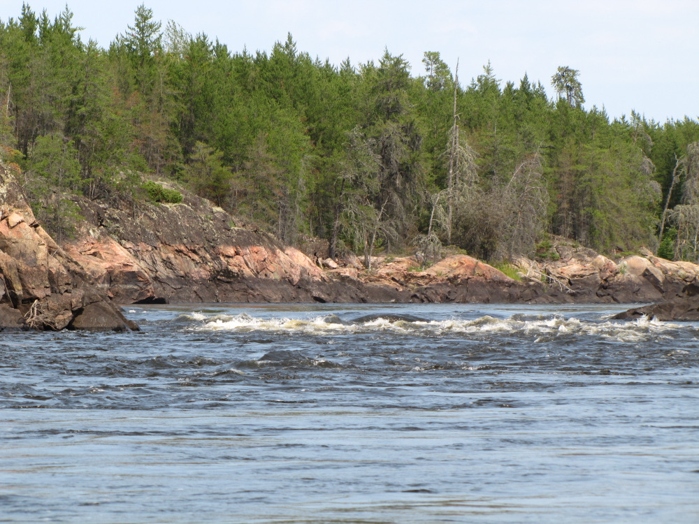
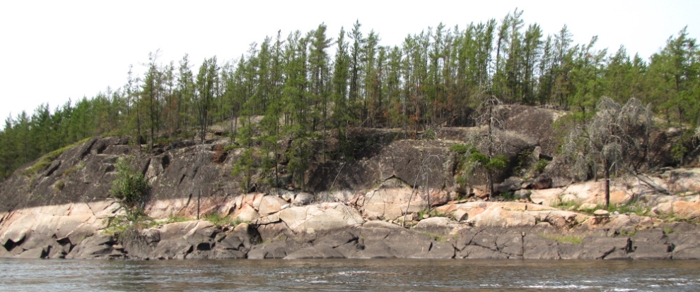
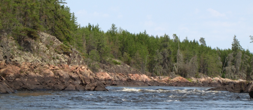
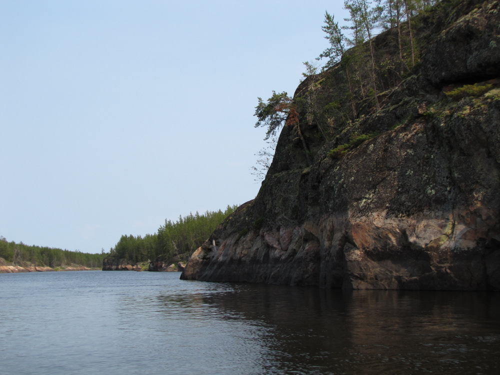
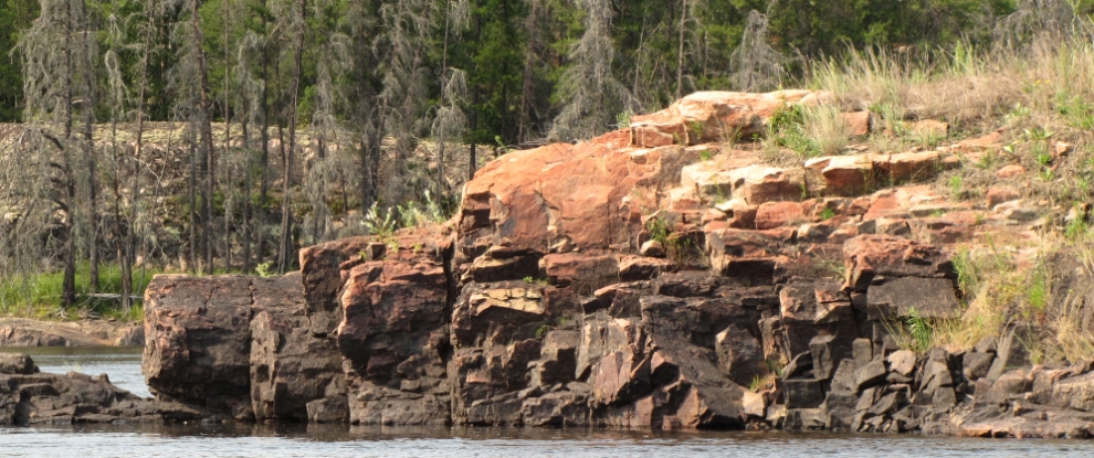
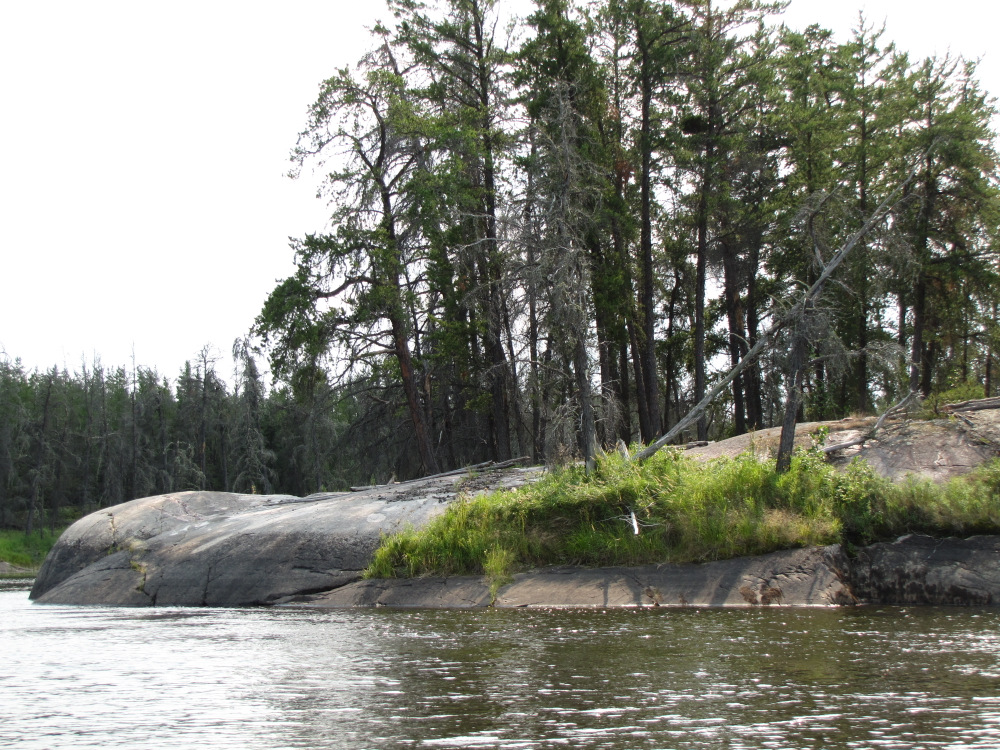
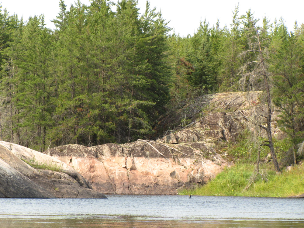
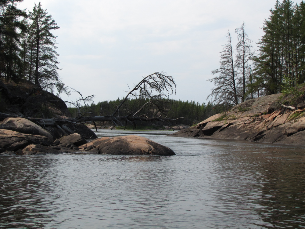
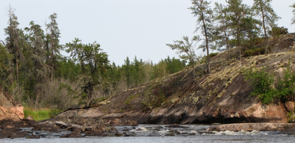
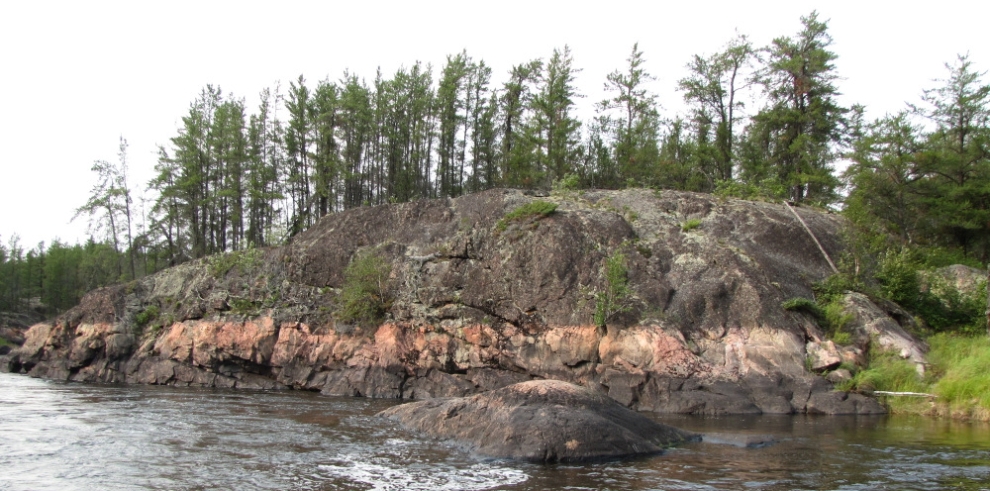
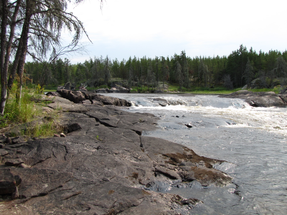
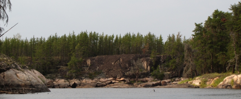
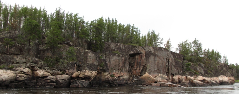
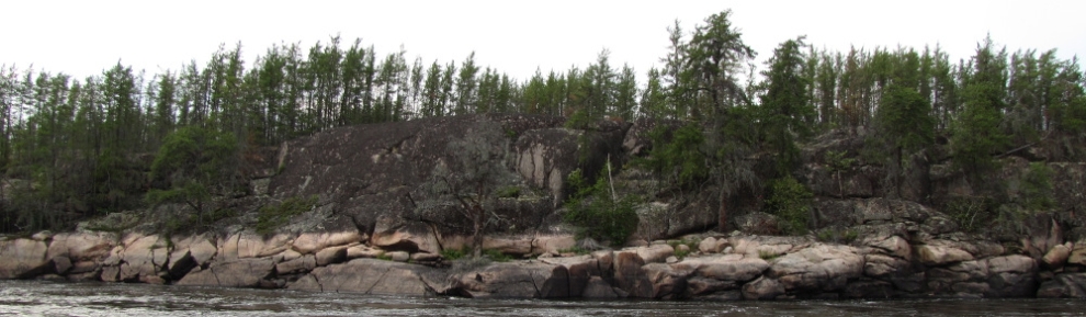
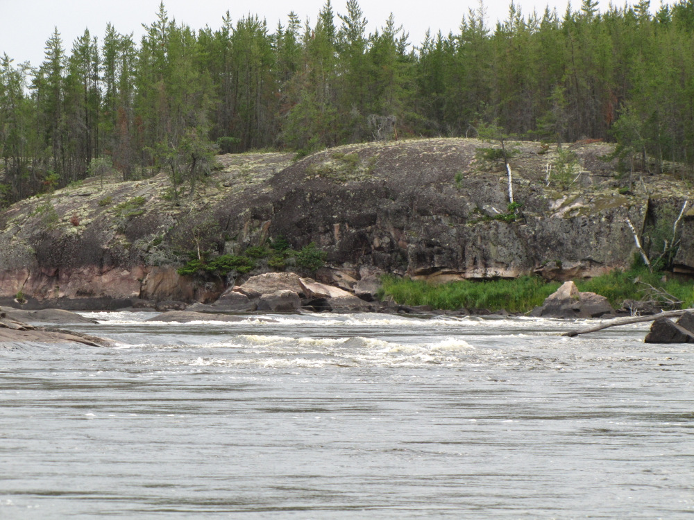
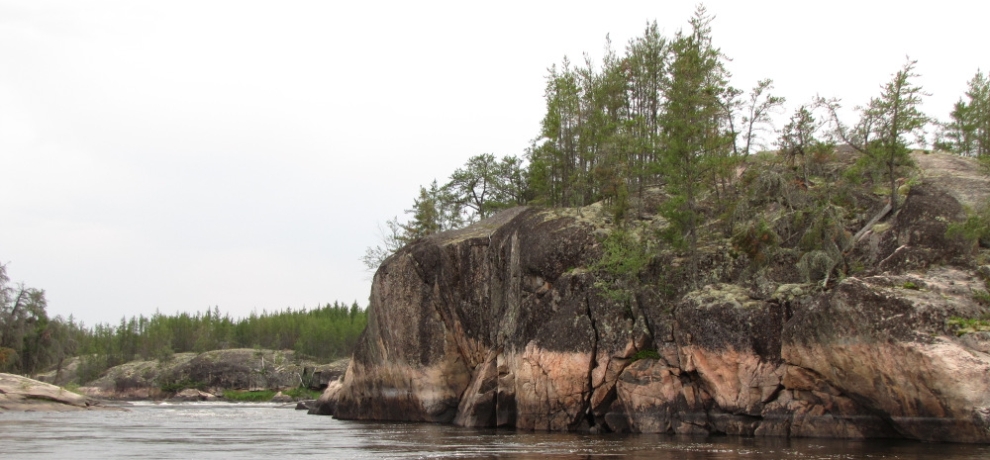
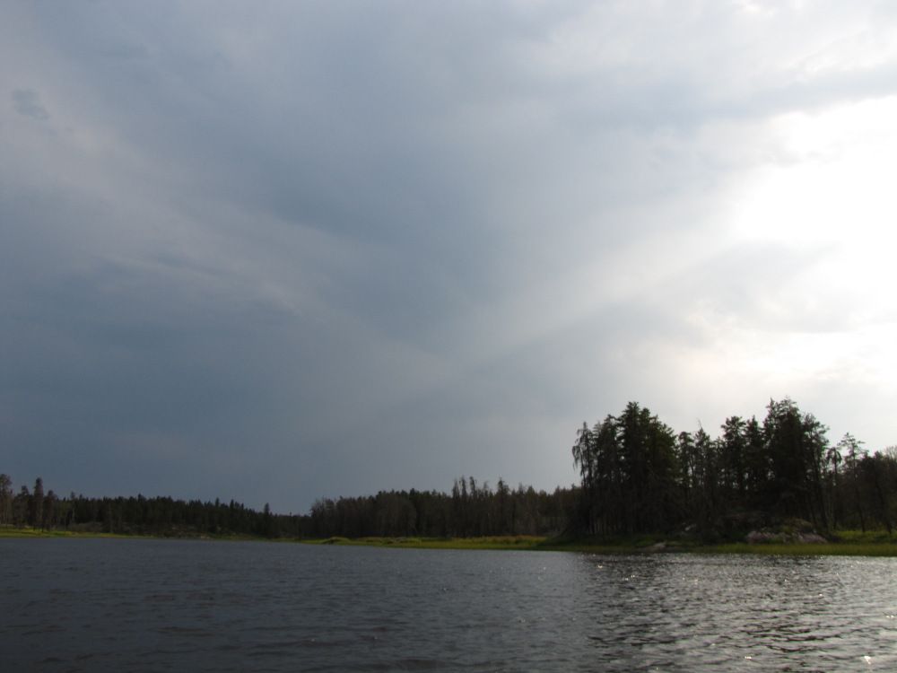
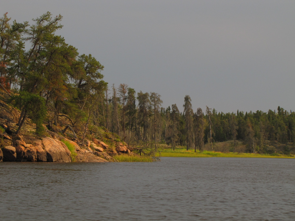
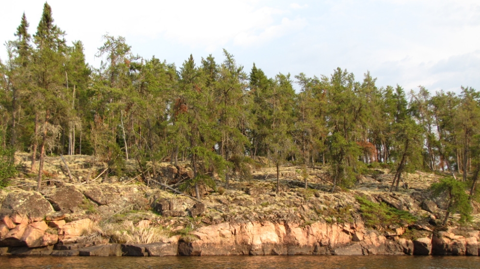
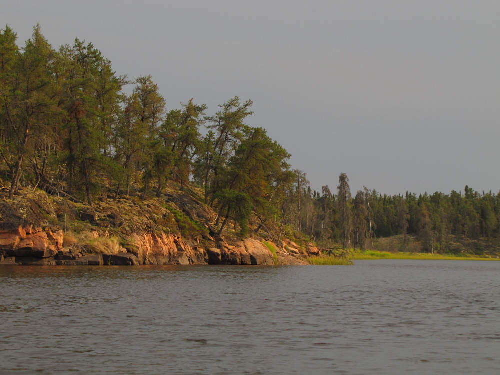
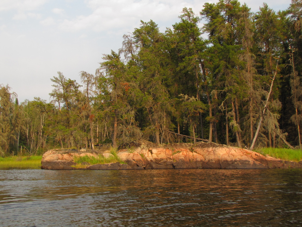
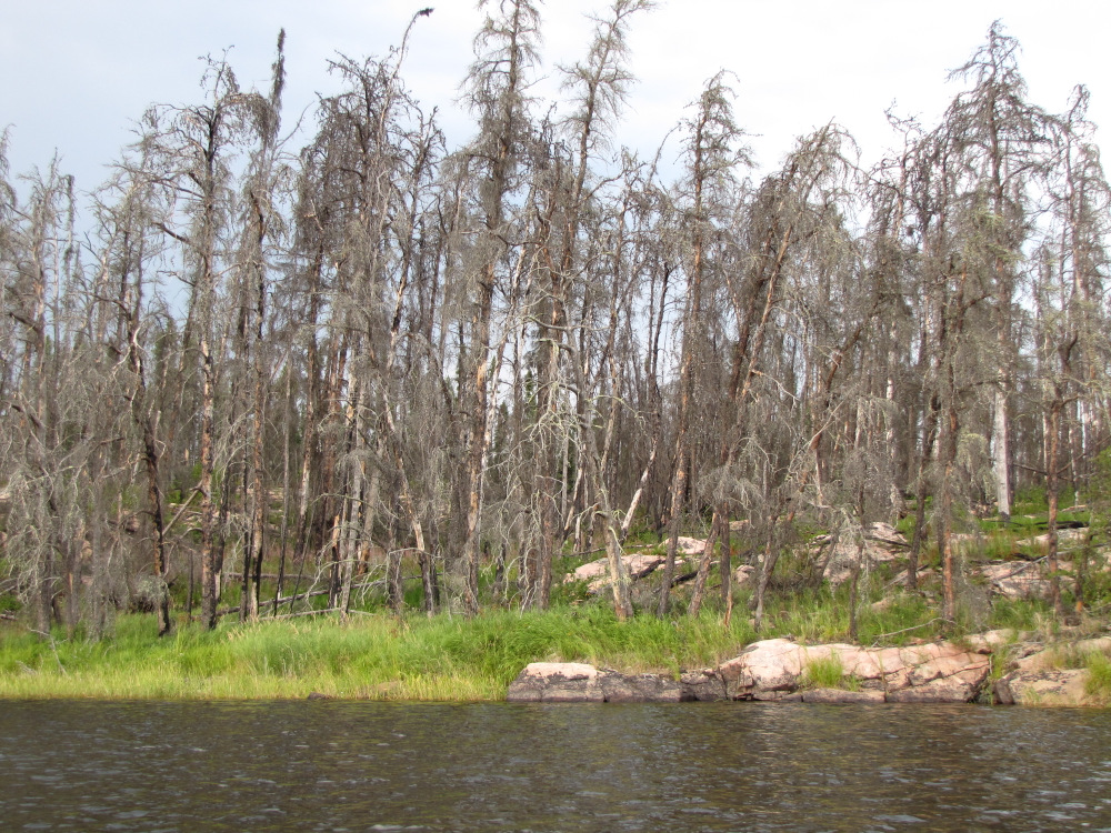
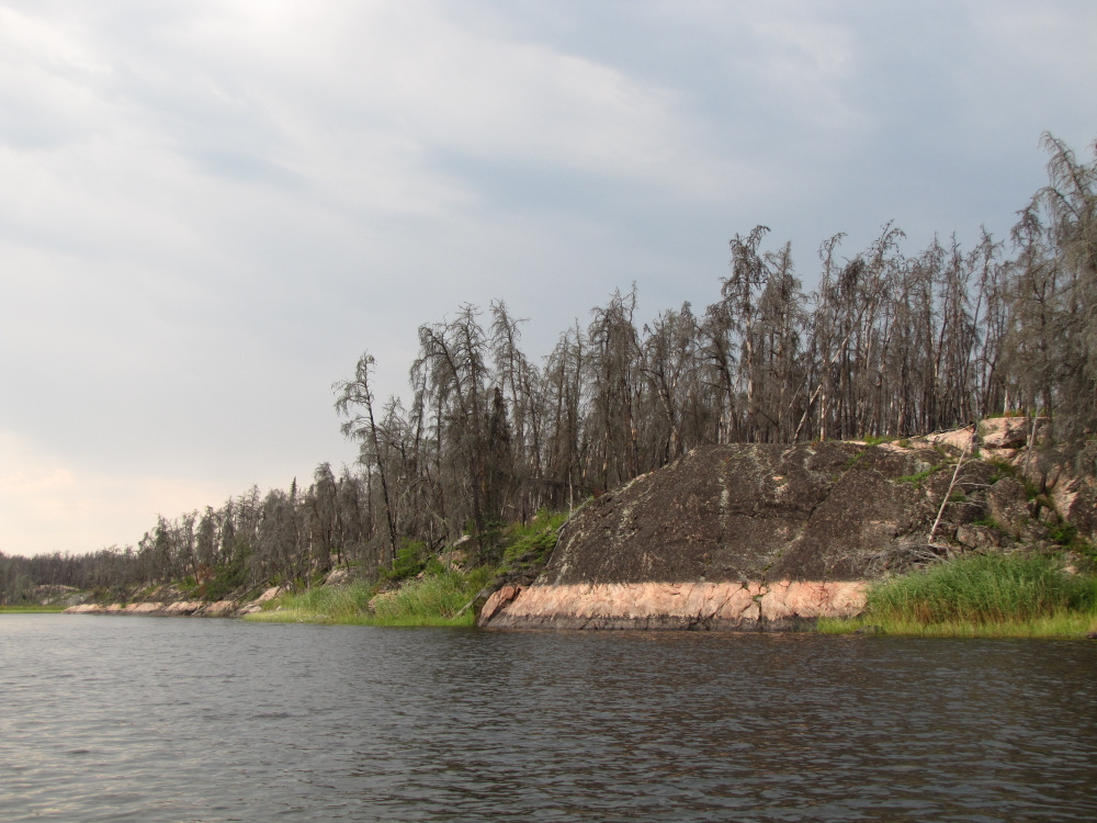
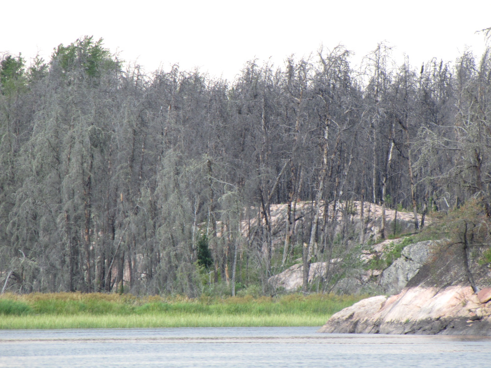
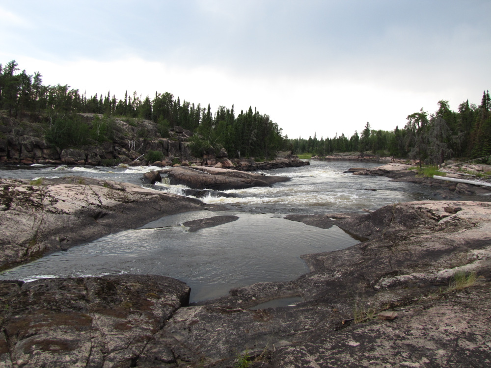
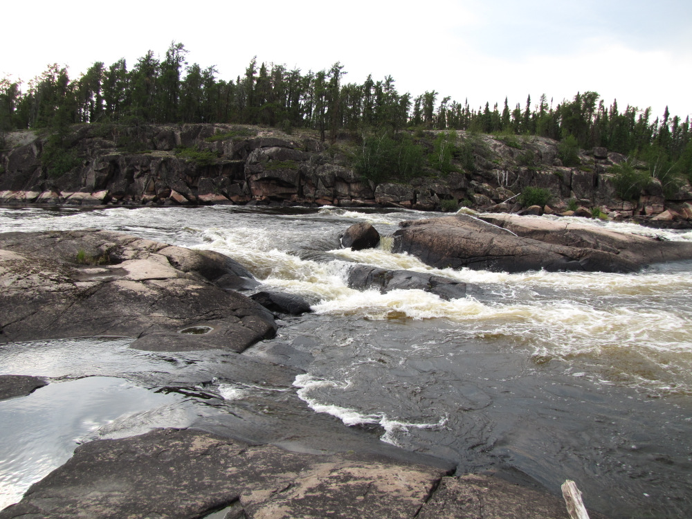
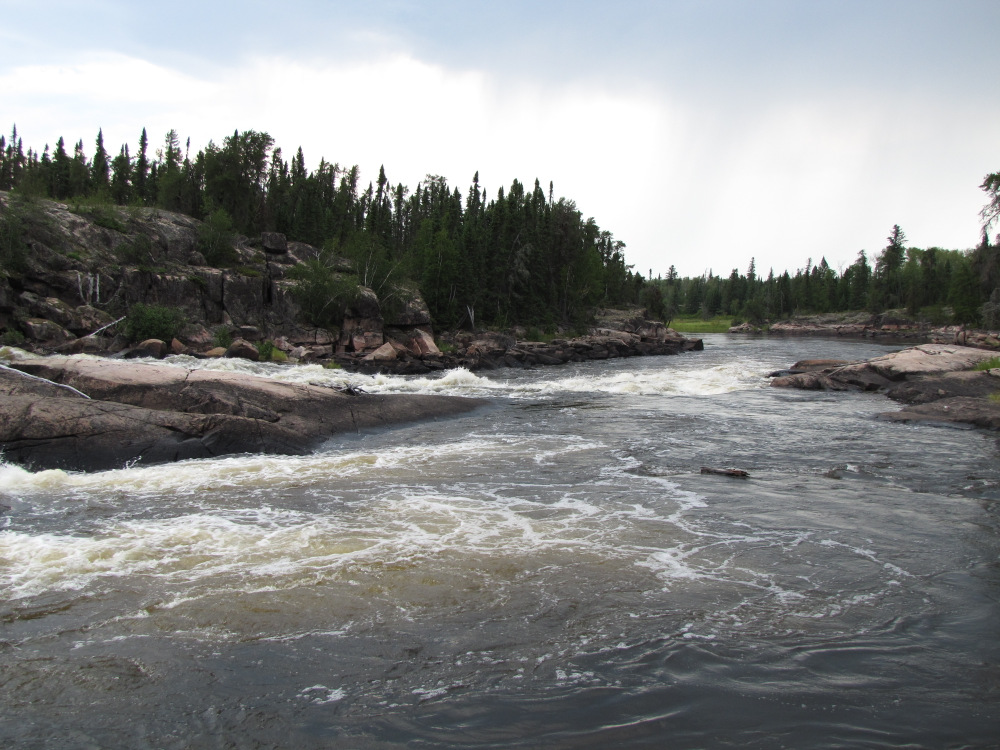
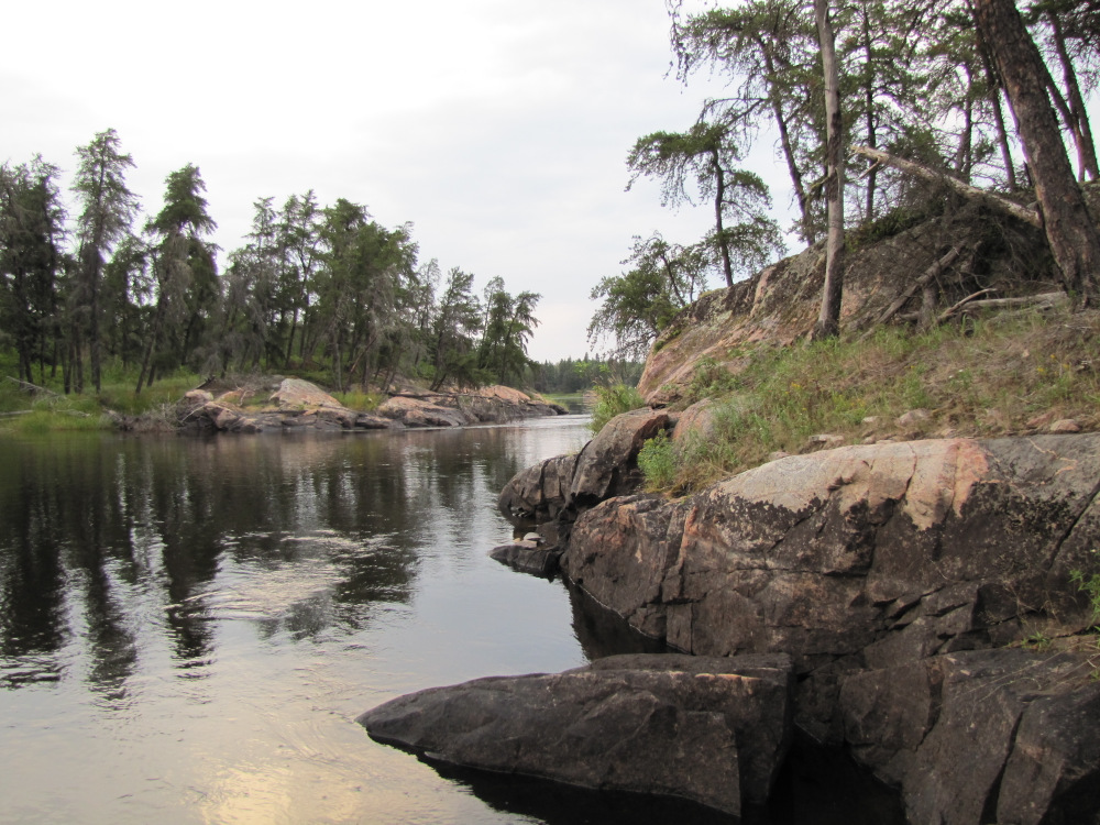
| I ran the two small drops just below the campsite, stopped to look back and take a few pictures of what I think was the best camp of the trip so far. Coming up quickly is the triple of #62 (CII), #63 (CI) & #64 (CII), all pretty simple stuff but a nice section of swift water for a change. The next 7km are quite nice, the river is narrower here and very pleasant, there is an easy CI at #65 before reaching the “three rivers”. Here the river divides into three channels; the middle one has the bigger rapids and might require a portage, the south channel is unknown and no information is indicated on my map. I decide to take the north channel which looked to be a bit smaller than the middle channel. There are two rapids, #69 which is an easy CI and #70 which required a short line around the top ledge and then an easy run through a rocky CI. I looked back upstream at the middle channel as I passed by the outflow; there was a sizable ledge at #68 that would have required a liftover. The notes I have indicate a good campsite here, it didn’t look too special but I didn’t really get a good look as it is located high up on an outcrop on RL. |
 |
 |
 |
 |
 |
 |
 |
 |
 |
 |
 |
 |
 |
 |
 |
 |
 |
 |
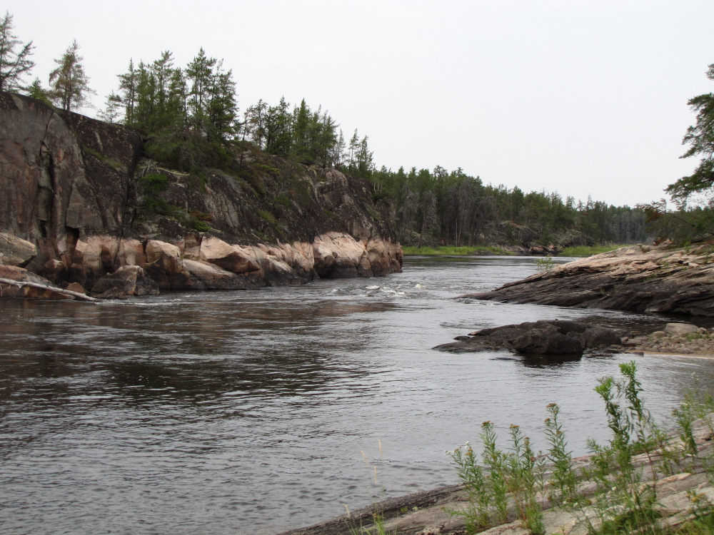
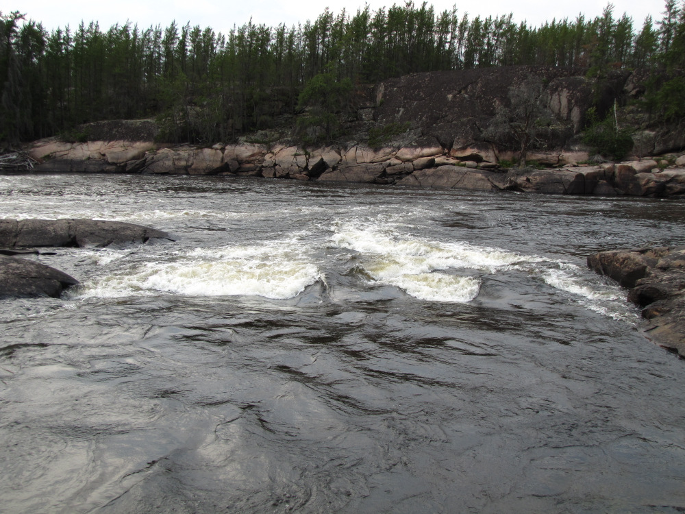
| Manitou Rapids, #71 didn’t seem to match the HW details; in any event I ran the top CII drop on the right and the easy lower part down the centre. |
 |
 |
 |
 |
 |
 |
 |
 |
 |
|
|
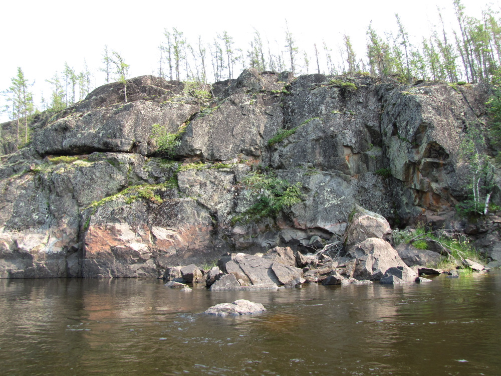
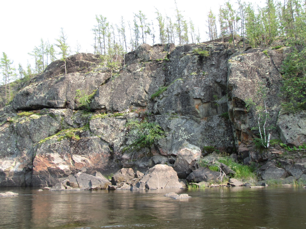
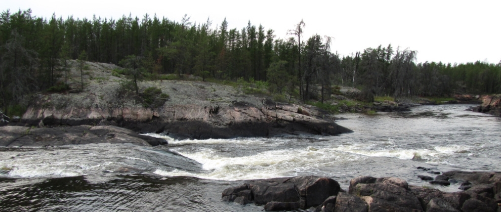
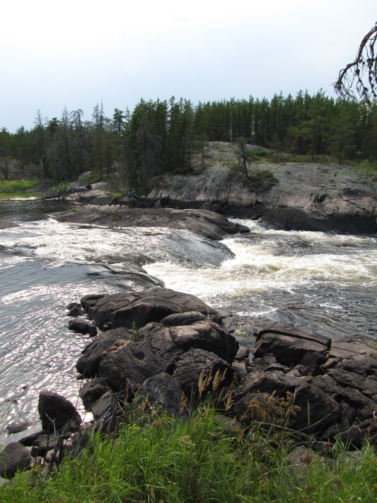
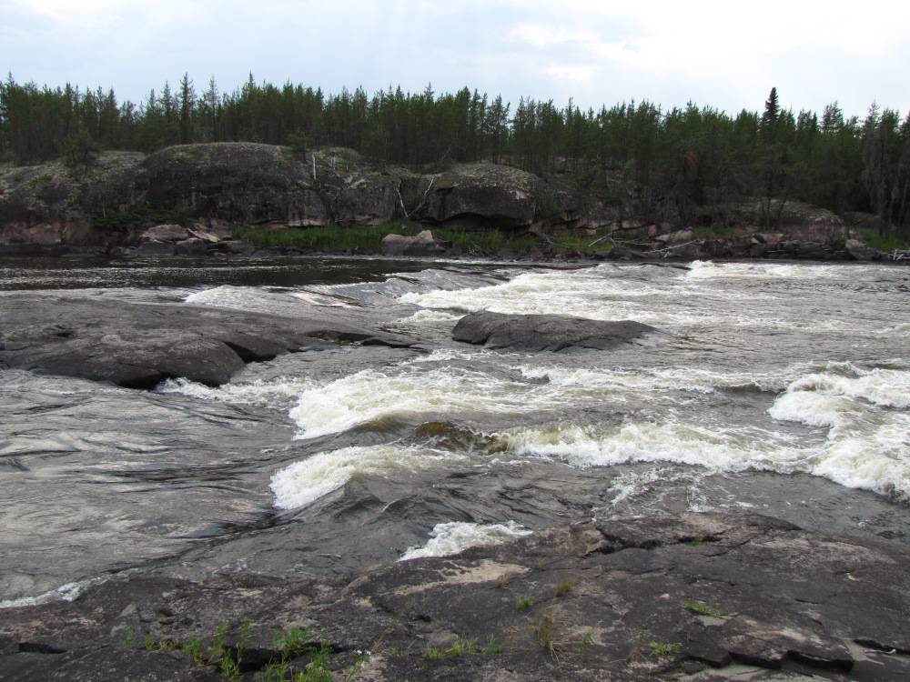
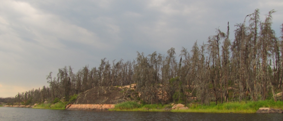
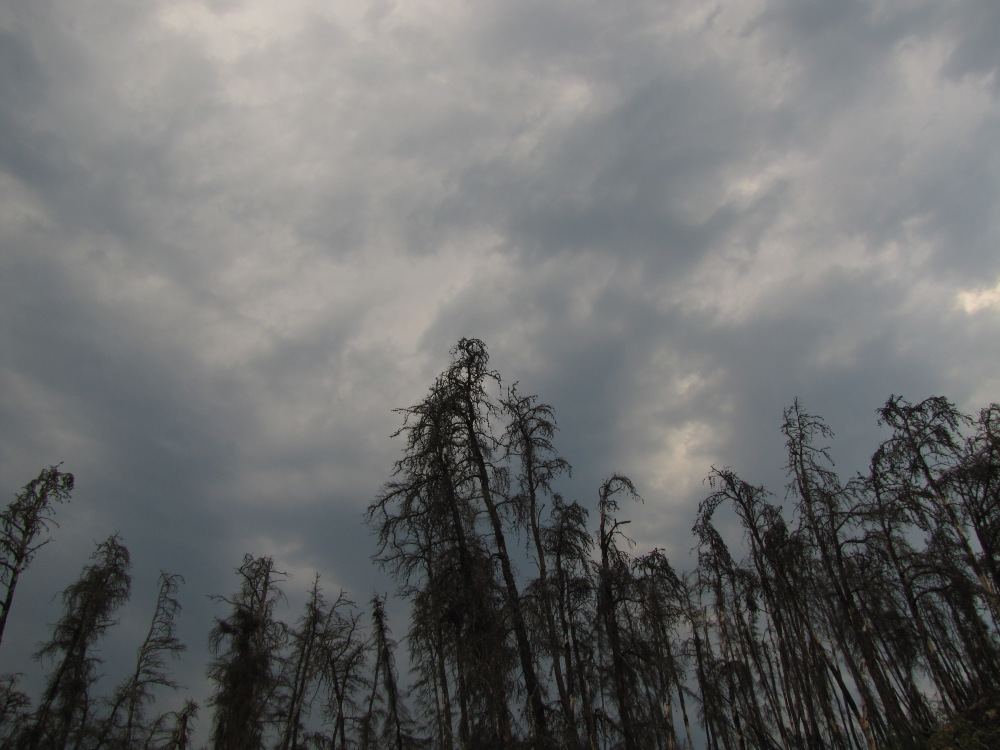
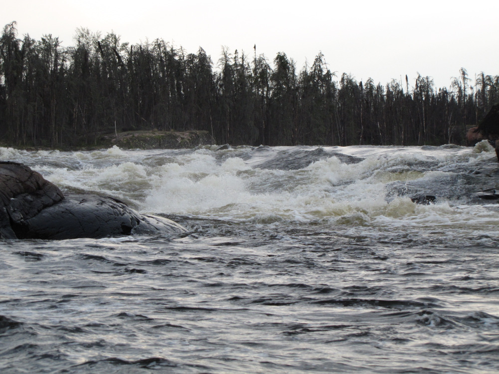
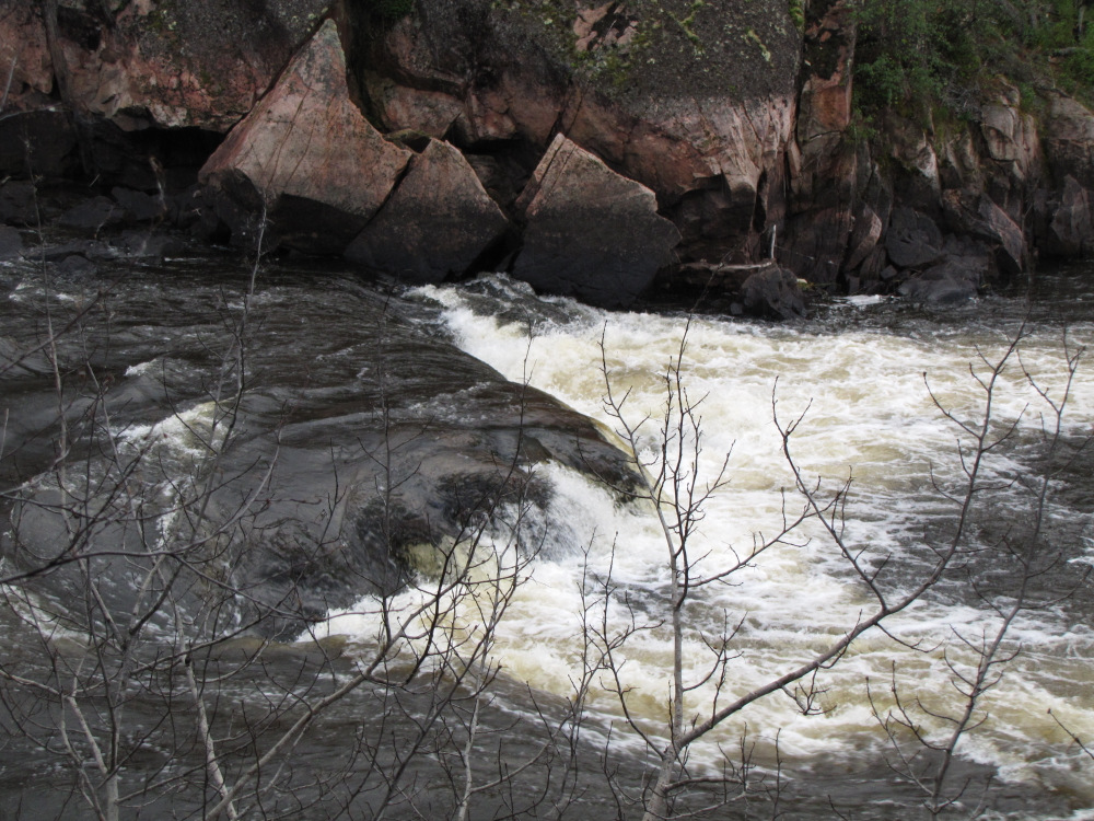
| Kashaweposenatak Rapids, #72 is a double CIV, I pulled out at the top to scout just as a sun shower started, then thunder came which would rumble on and off over the next few hours. I pulled the canoe over the rocks on RR to get past the first drop, from there a short paddle across the pool to the second ledge. It was clear I’d need to portage here. The trail is short and flat here passing through a useable campsite. I did my usual 3 quick gear trips and then dragged the empty boat over the moss and flat rock. |
 |
 |
 |
 |
 |
 |
 |
 |
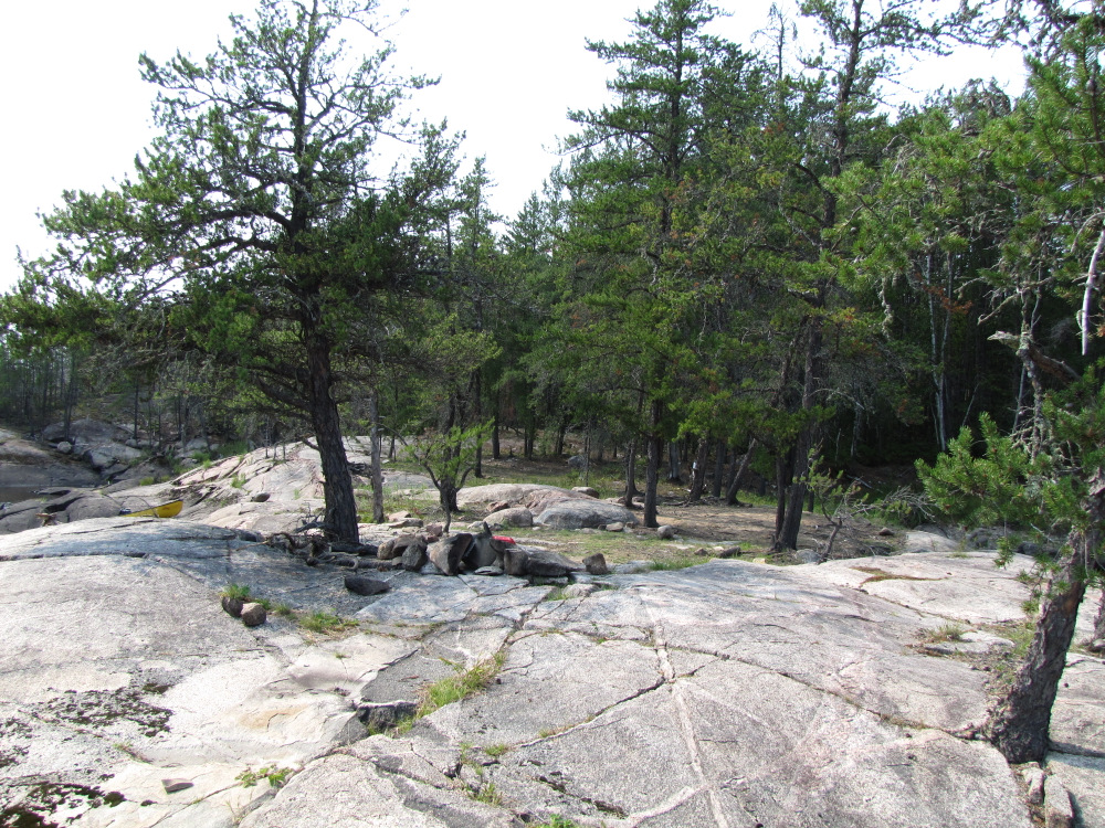
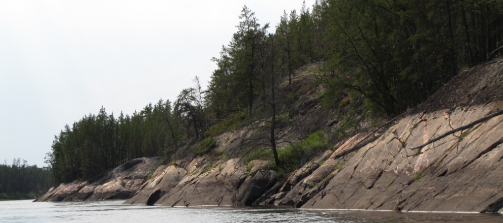
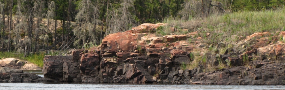
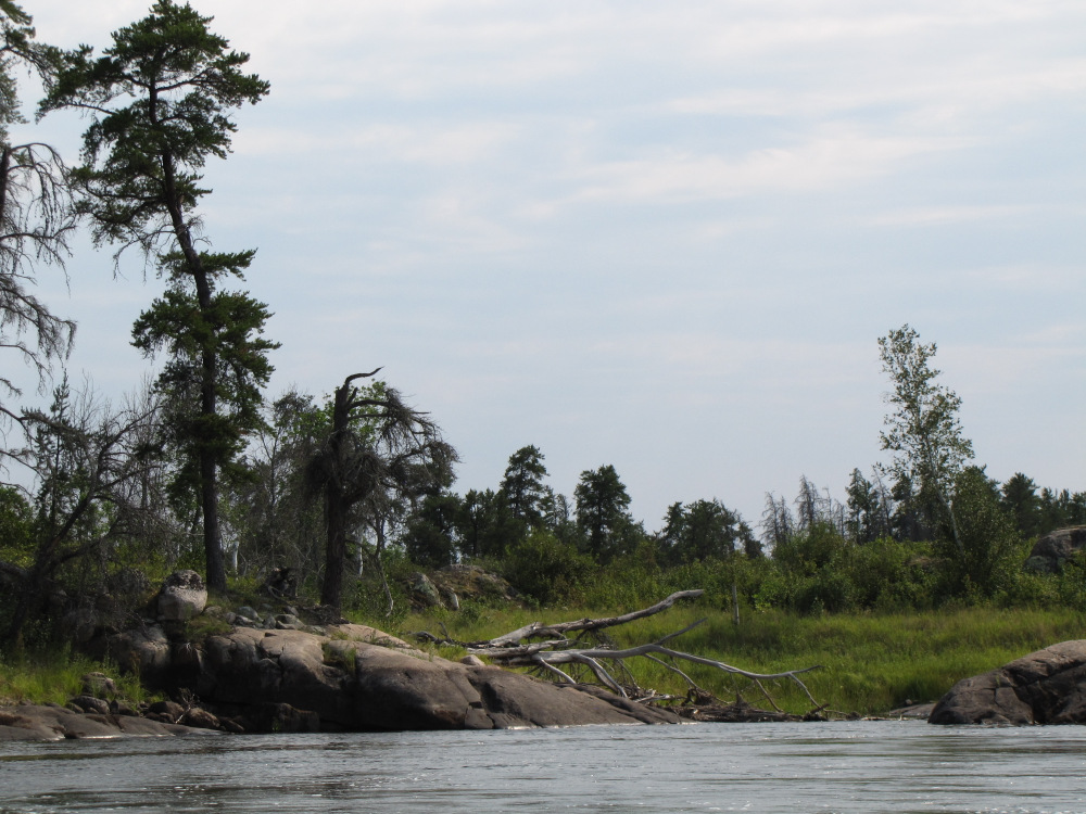
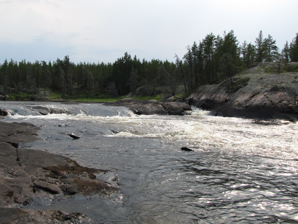
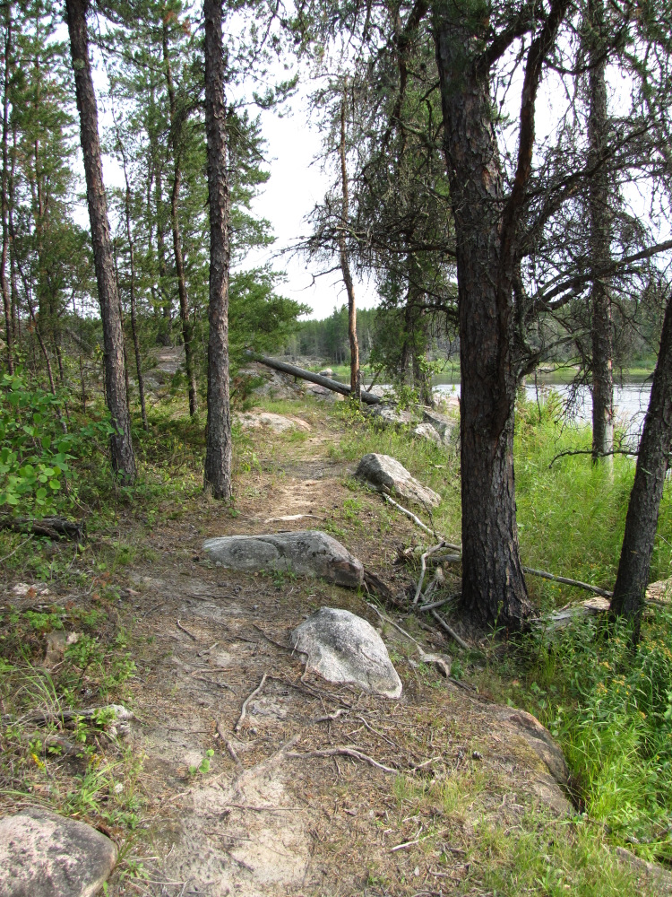
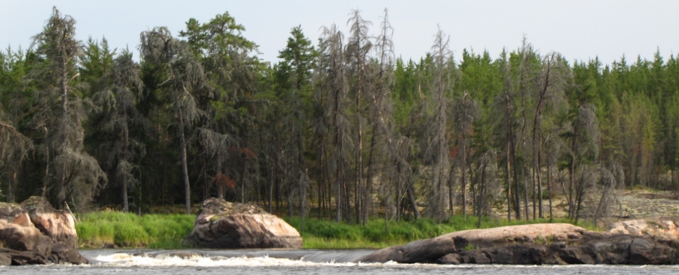
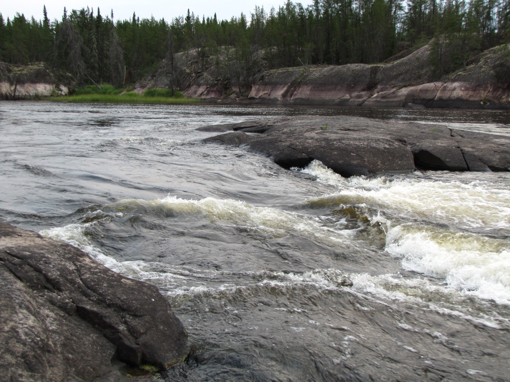
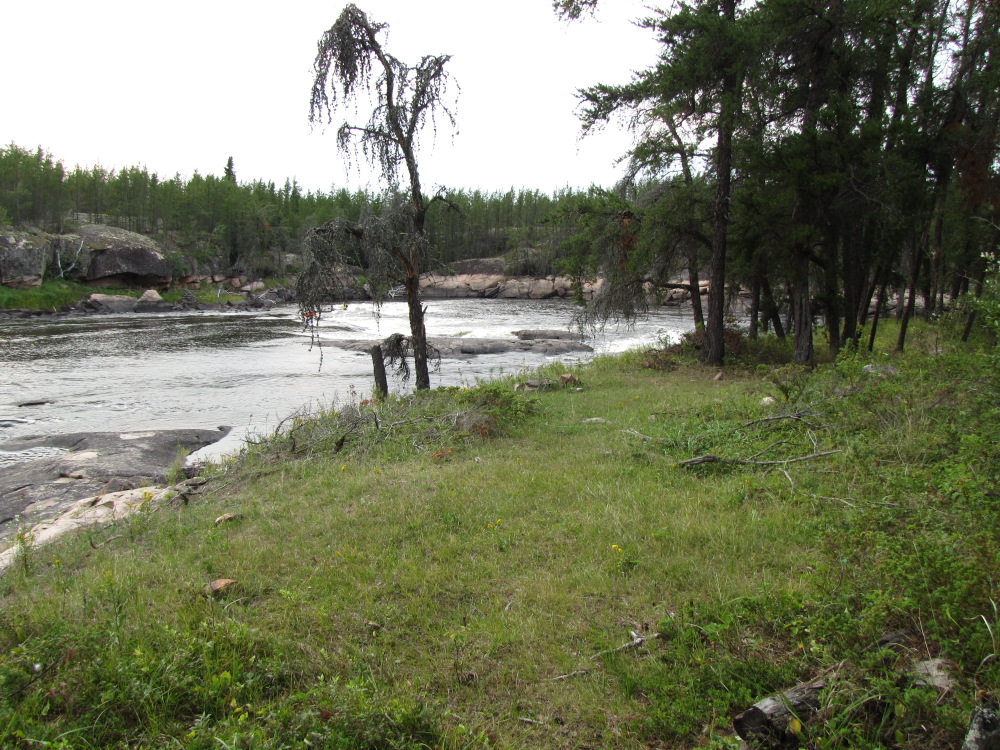
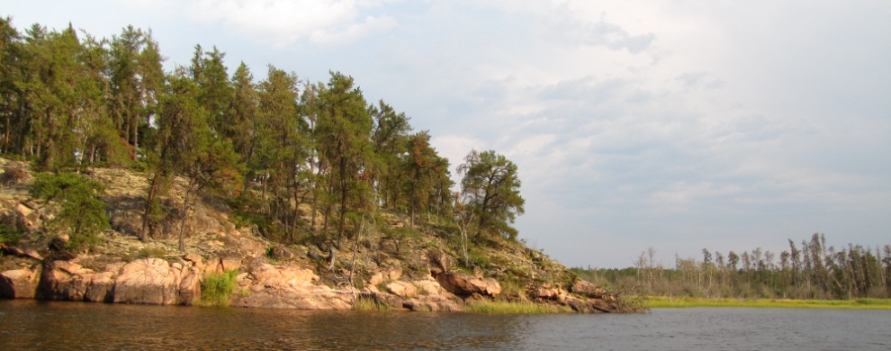
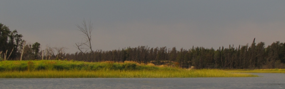
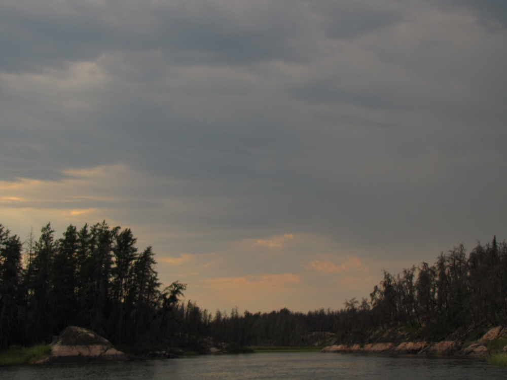
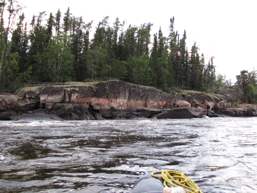
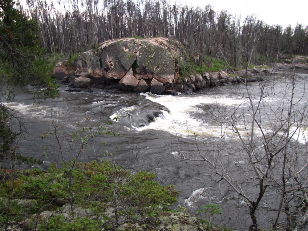
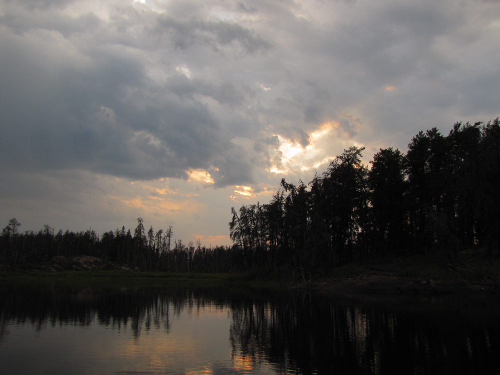
| Next up is Kakasannapeekak (Sharp Rock) Rapids the last moving water of the day. The main flow on the left is a CIII; I took the “sneak” route on RR and continued on the right for the bottom CII portion. I now have about 15 – 20 minutes of paddling to my target campsite. The river makes a jog to the right as it narrows through large rock outcrops; the camp is on the right between the rock and the trees. The bit of rain has finished, the setting sun is now lighting up the far side of the river although overhead the dark grey cloud indicates the rain may return at any time. The air has that freshness that a shower will bring. I set up the hut on a flat area on thin soil and settled in for the evening. A fresh mug of tea and a meal in a bag rejuvenated me somewhat but I was ready for an “early” night. The river here is small and moves silently, quite a contrast to last night where the roar of the rapids was omnipresent. |
 |
 |
 |
 |
 |
 |
 |
 |
 |
 |
 |
|
|
|
|
|
|
 |
 |
 |
 |
 |
 |
 |
 |
 |
 |
 |
 |
 |
 |
 |
 |
| Previous Day | Contents | Next Day |
| Main Page |