| Bloodvein River Solo 2015 |
|---|
|
Monday Aug 17 – Day 22
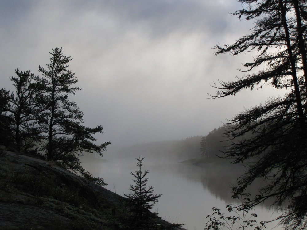
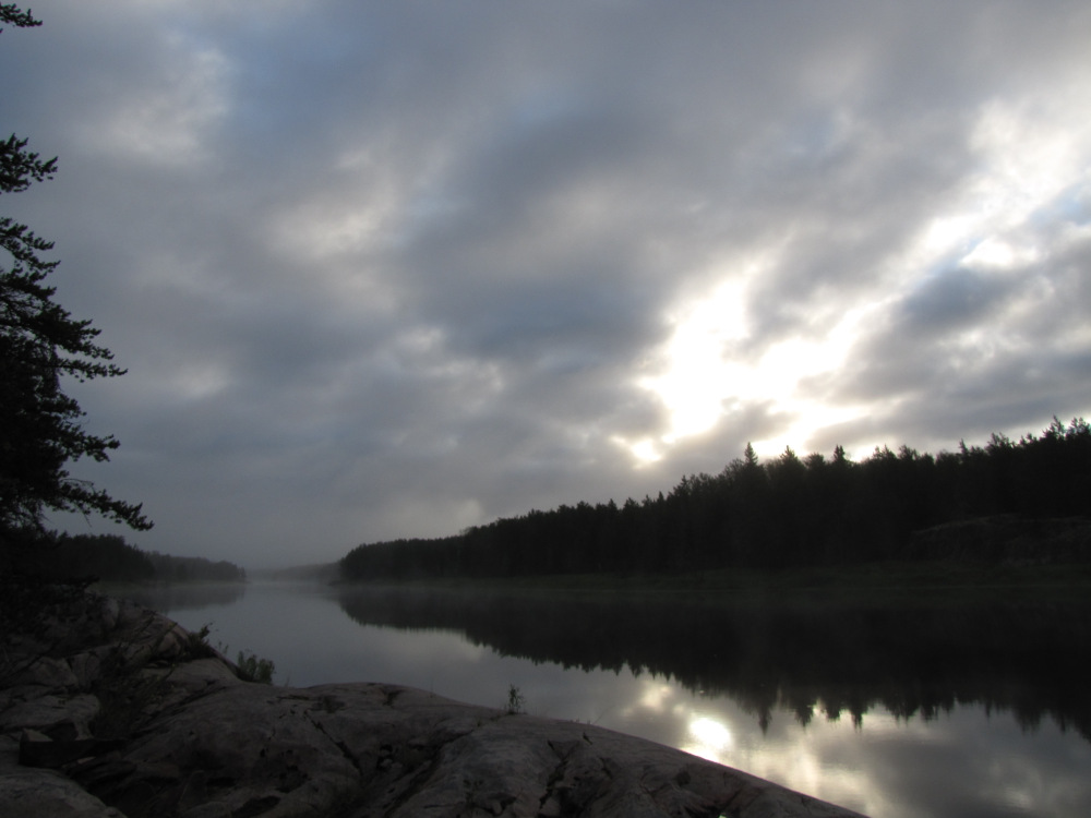
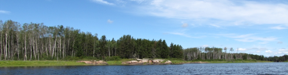
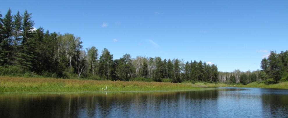
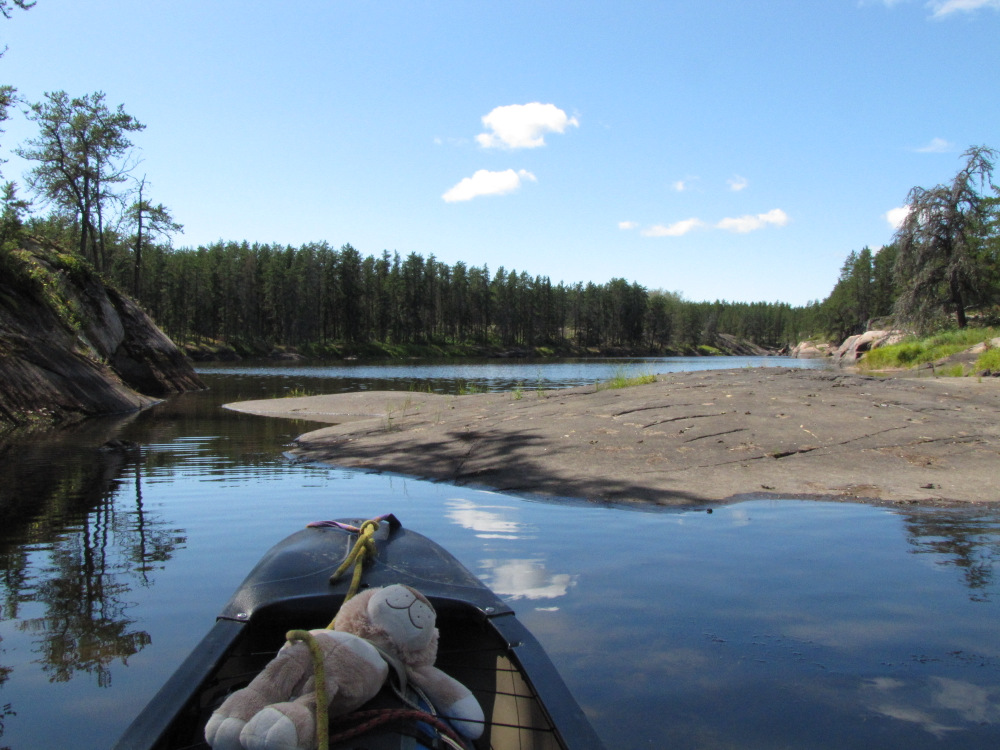
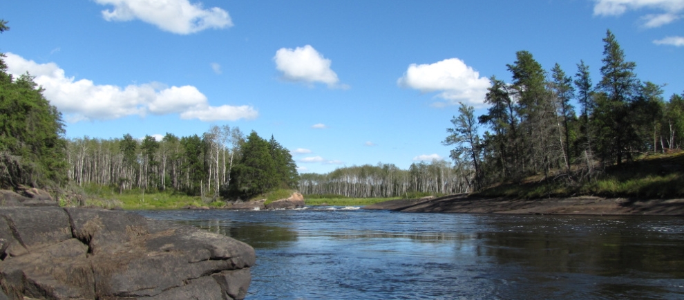
Time: 8 hours 40 minutes Distance: 21.9 km I got up at 7:00am, lots of mist rising off the water, after a few minutes the sun started to break through and burn it off. By 8:00am it was actually mostly sunny and starting to warm up. This was nice because a lot of my stuff is slightly damp. I made my usual breakfast, got organized, loaded and set off 9:45am. |
|
|
|
 |
 |
 |
 |
 |
 |
 |
 |
 |
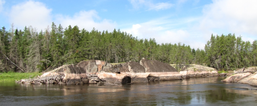 |
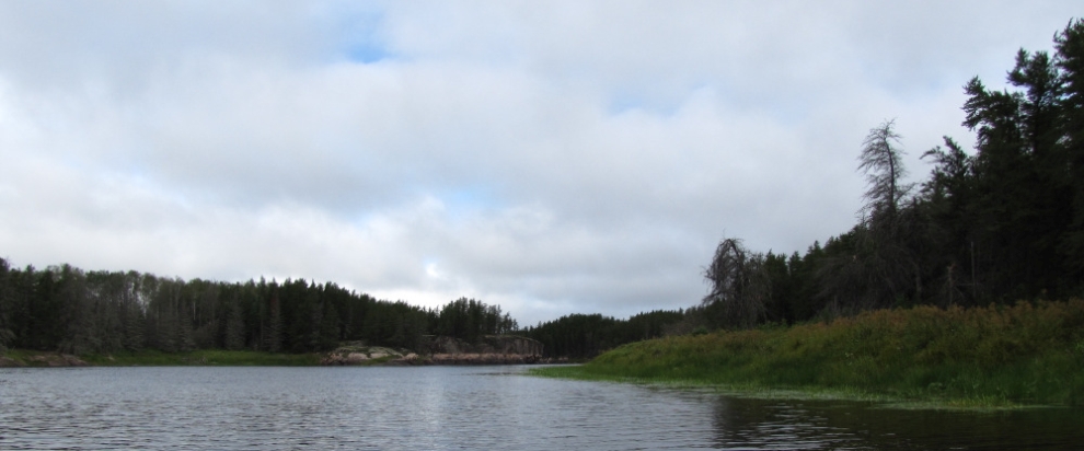
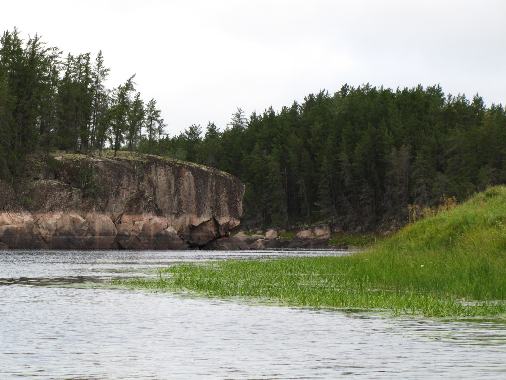
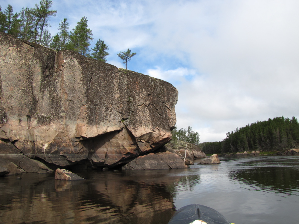
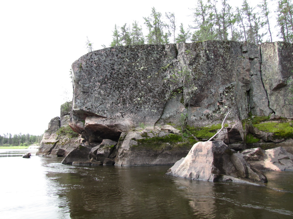
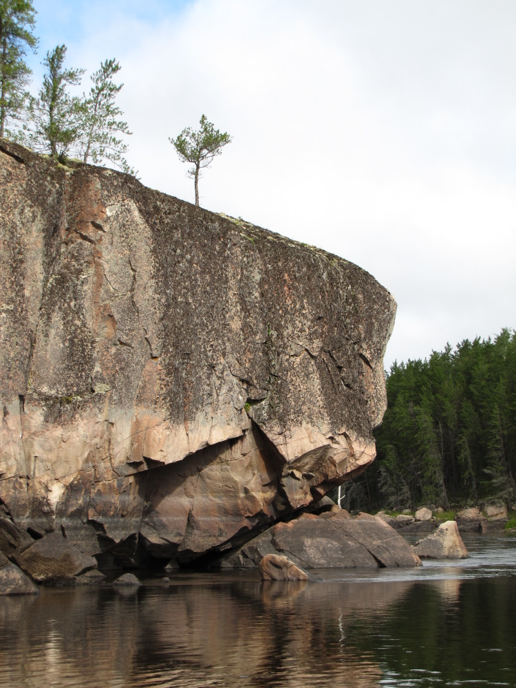
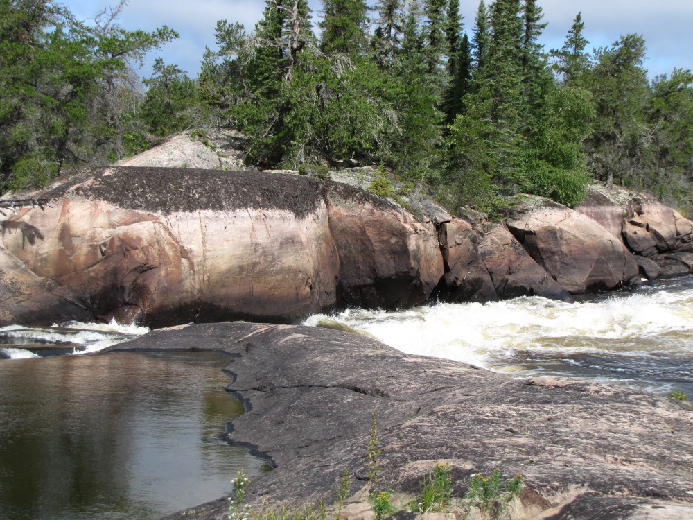
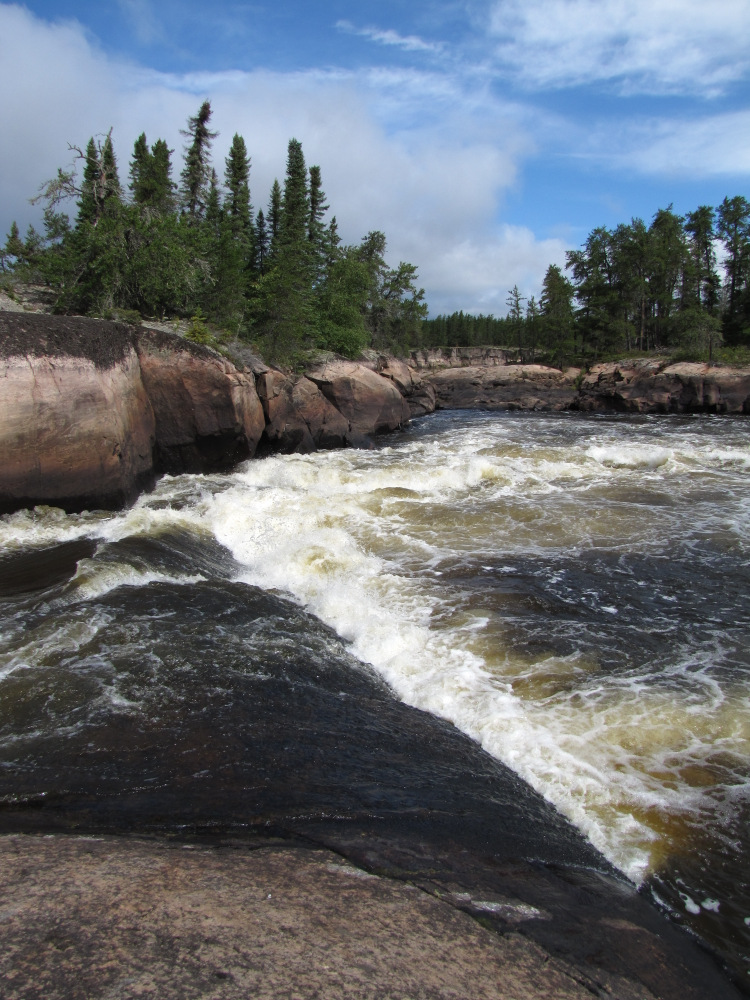
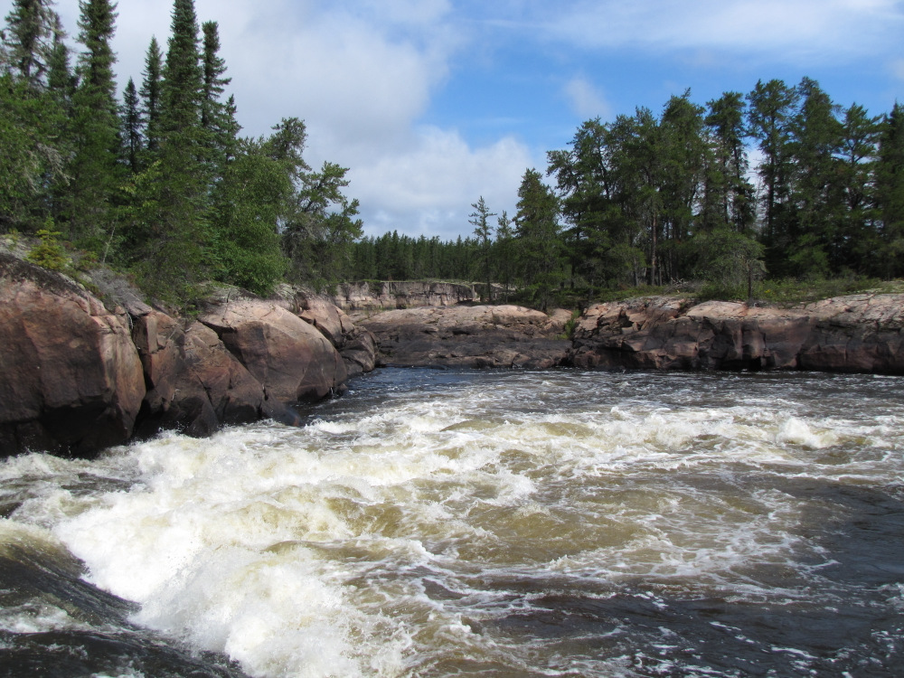
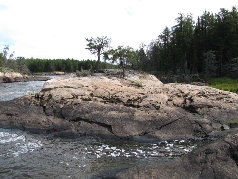
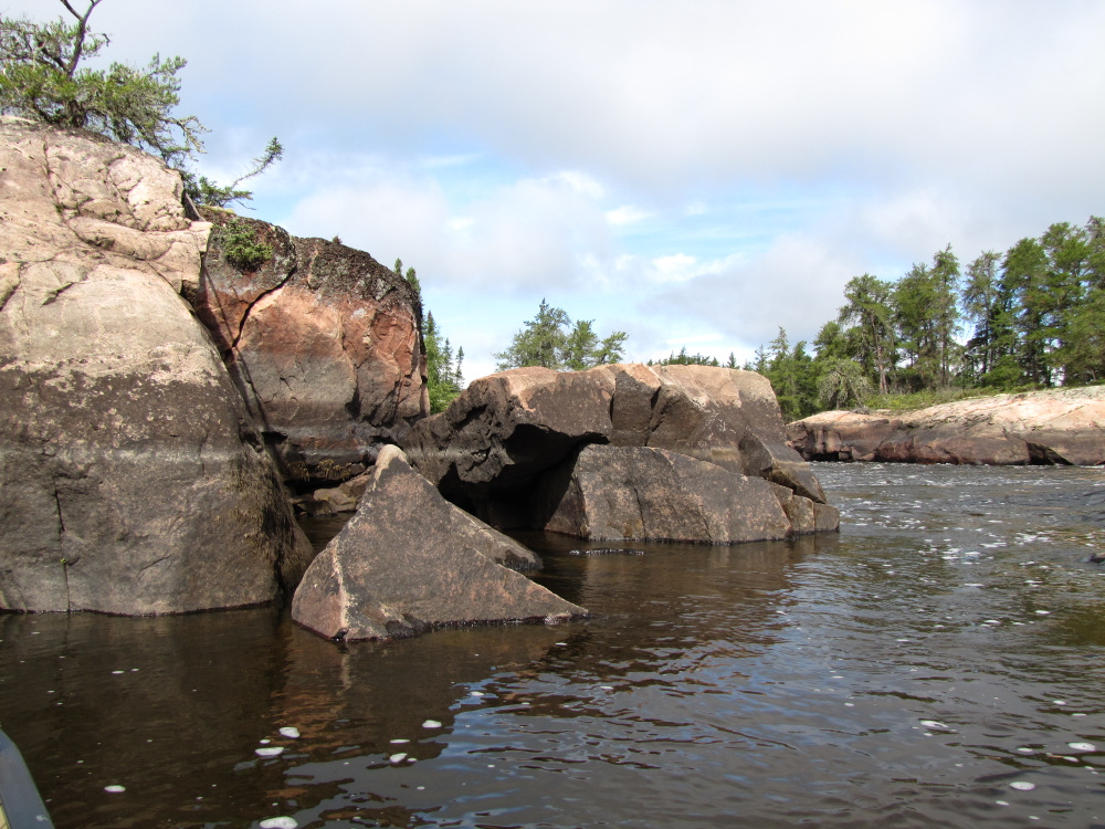
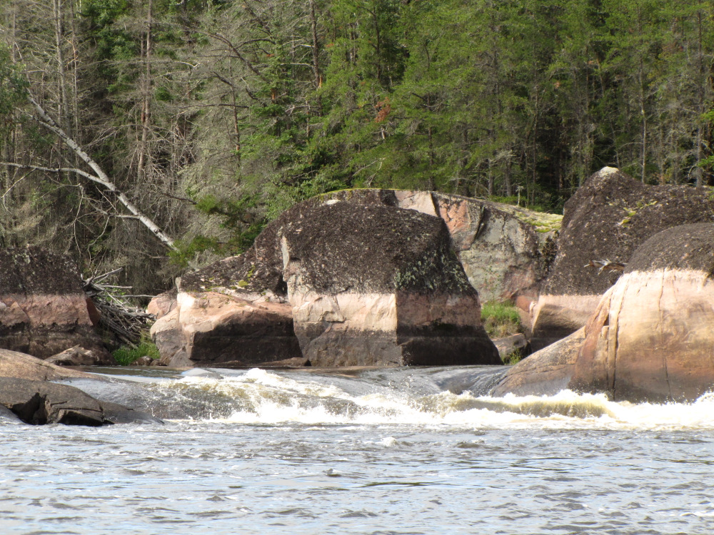
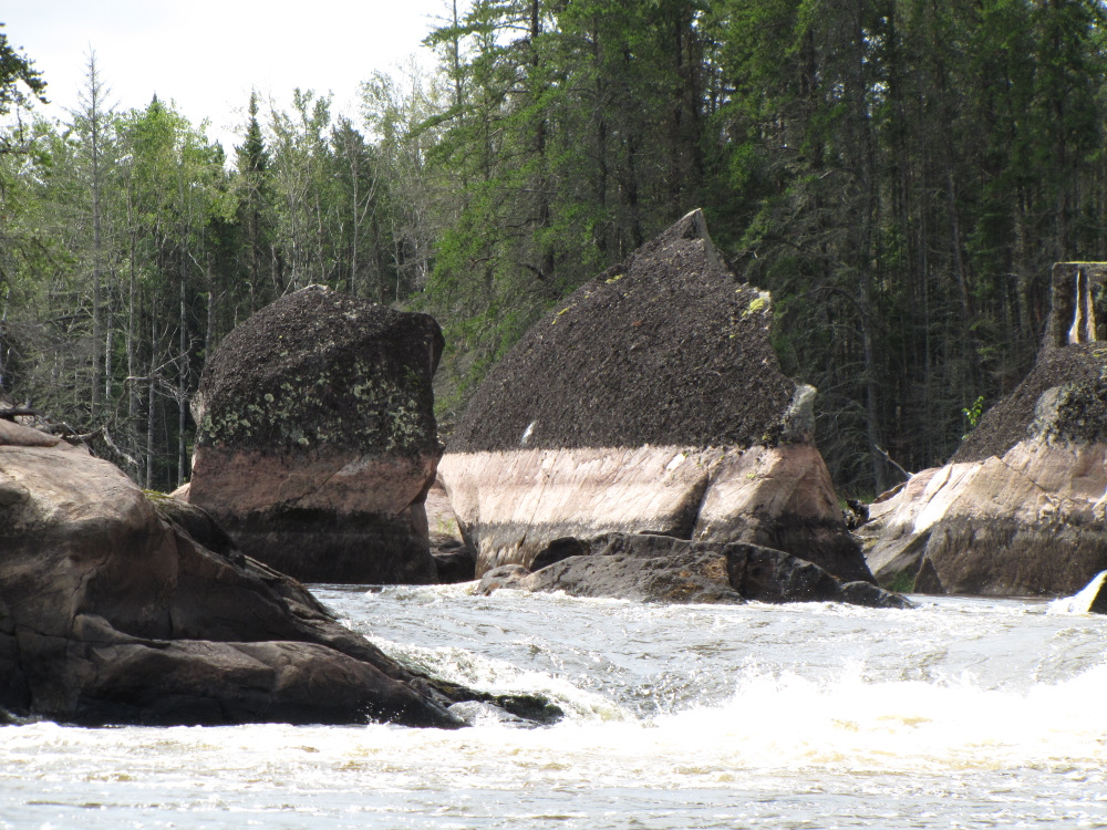
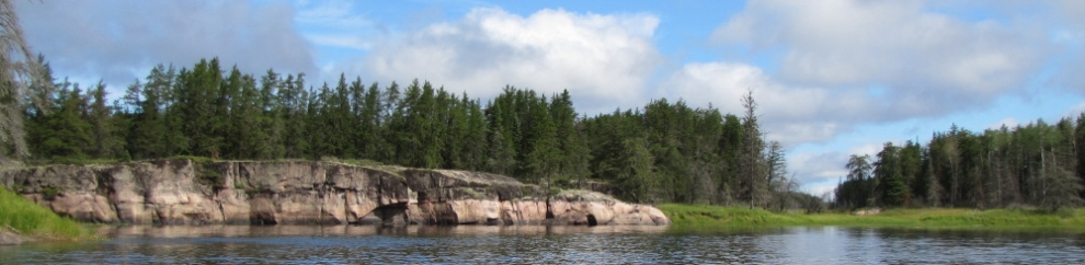
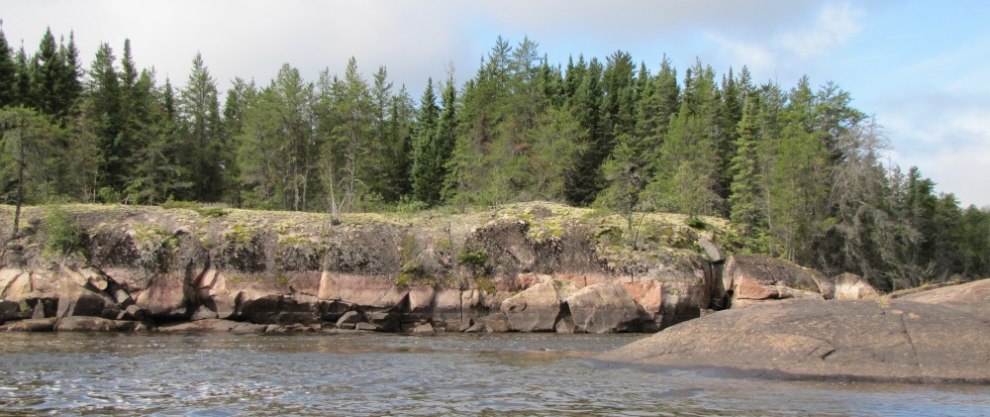
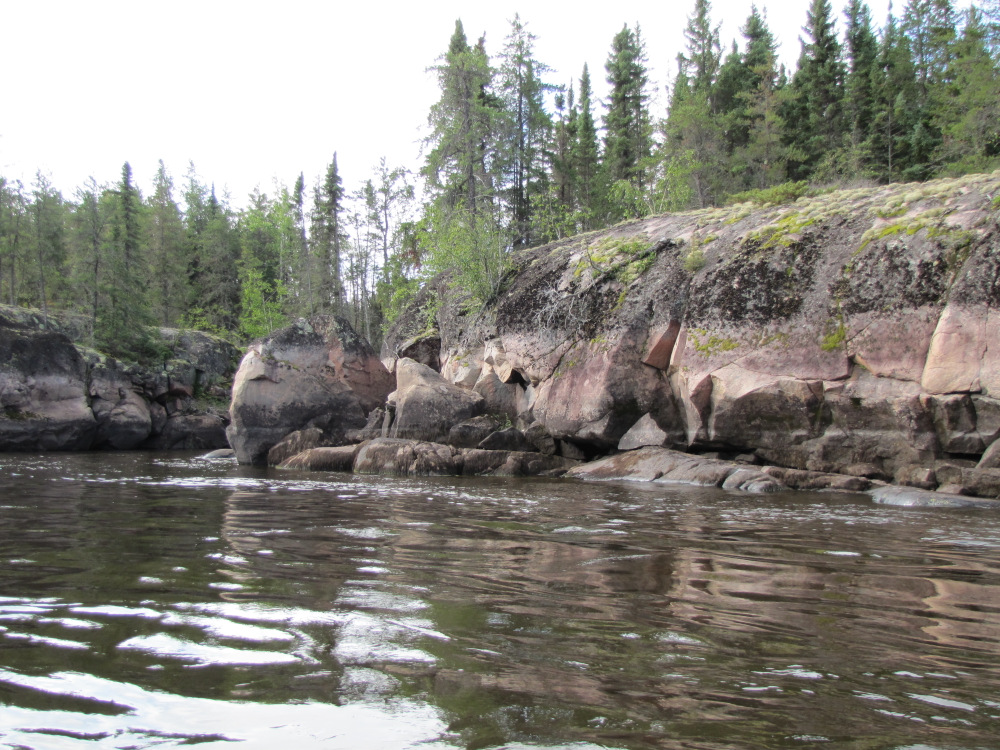
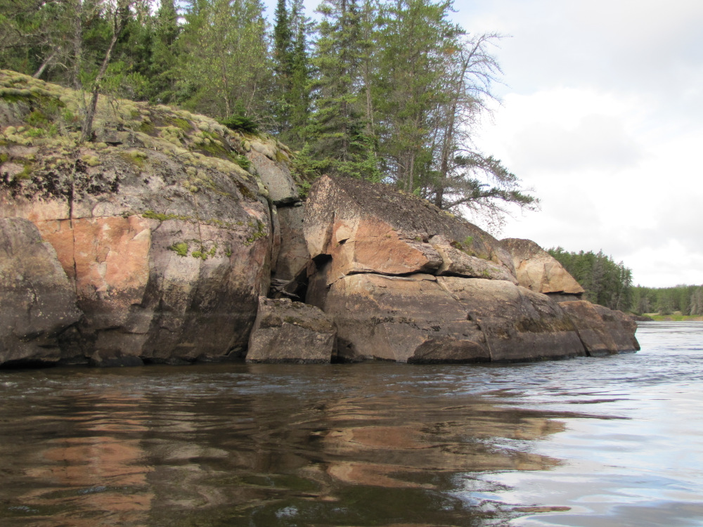
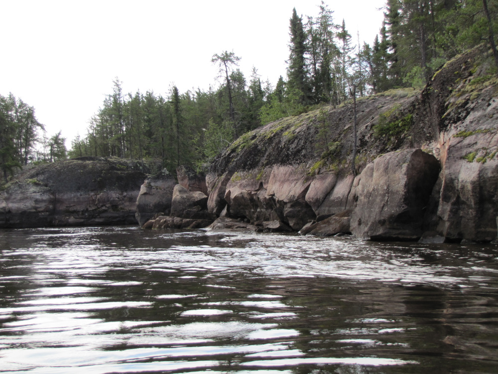
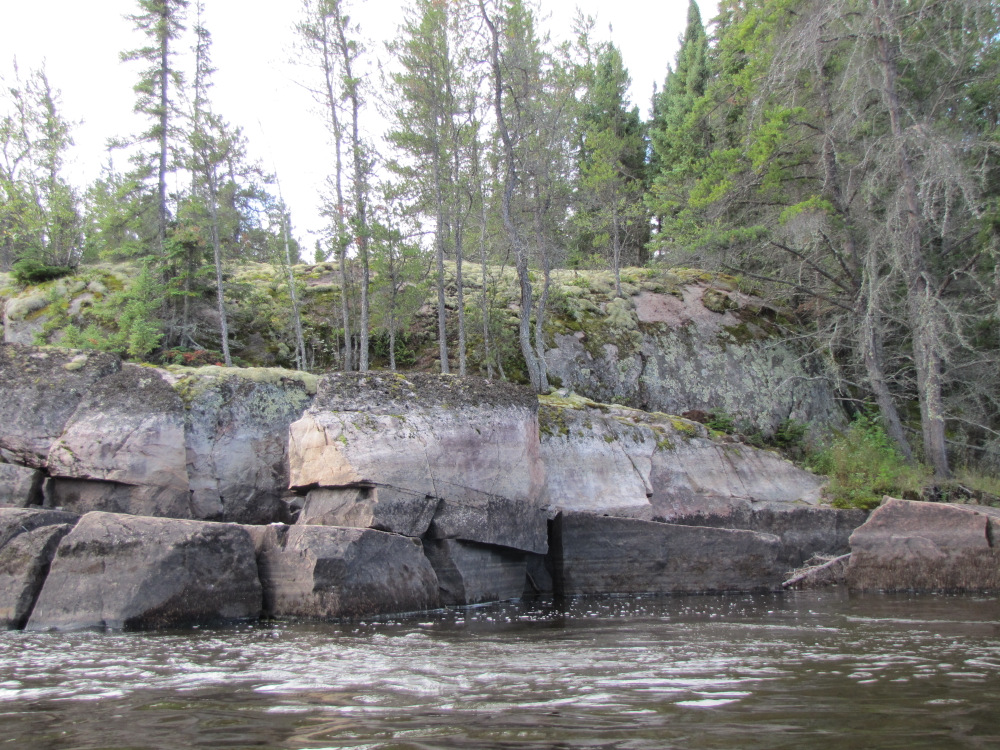
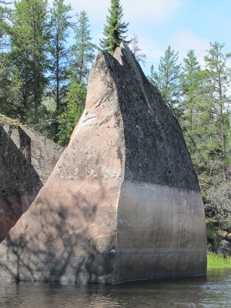
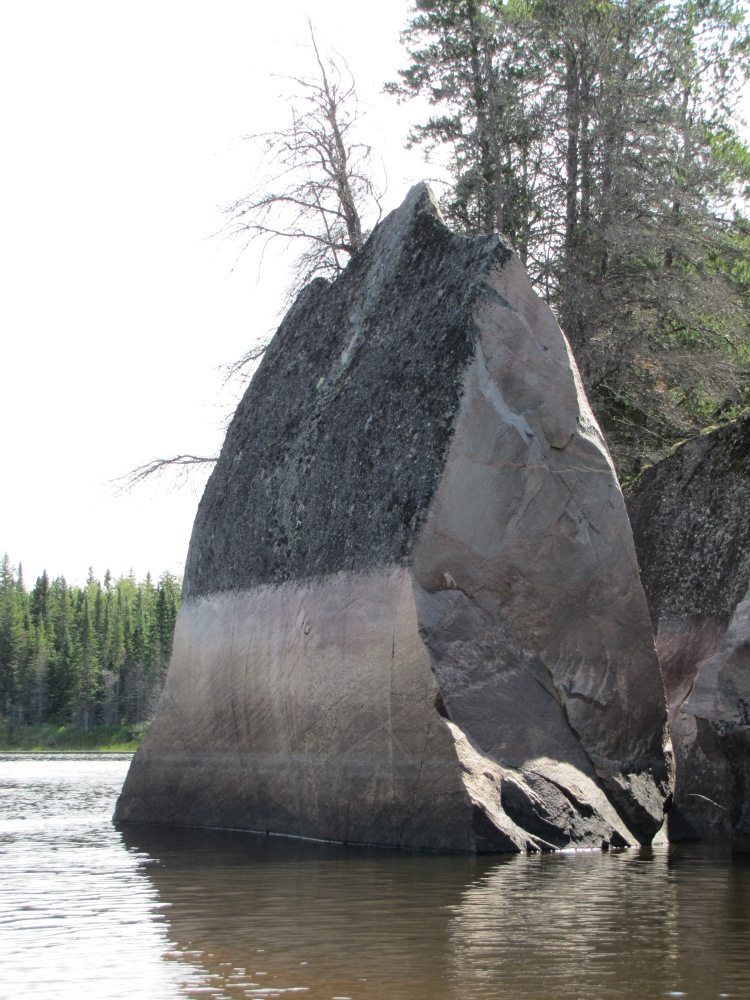
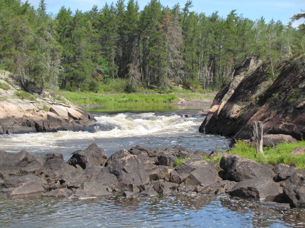
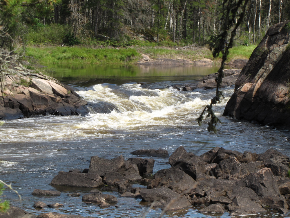
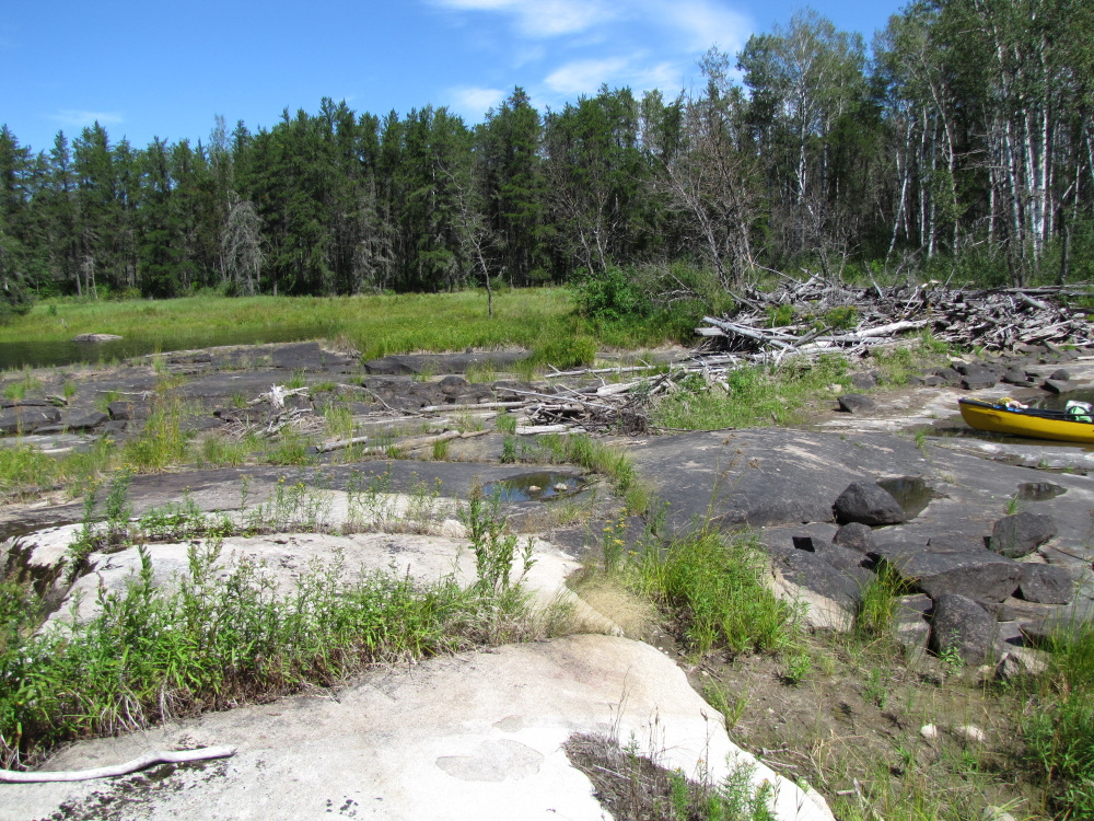
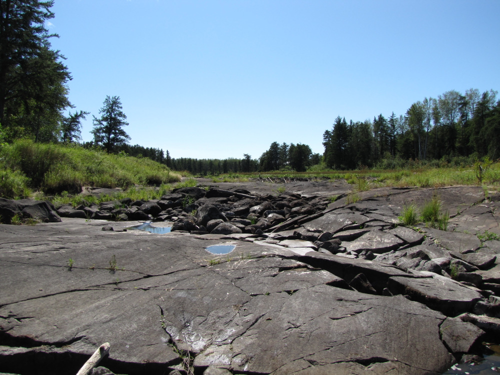
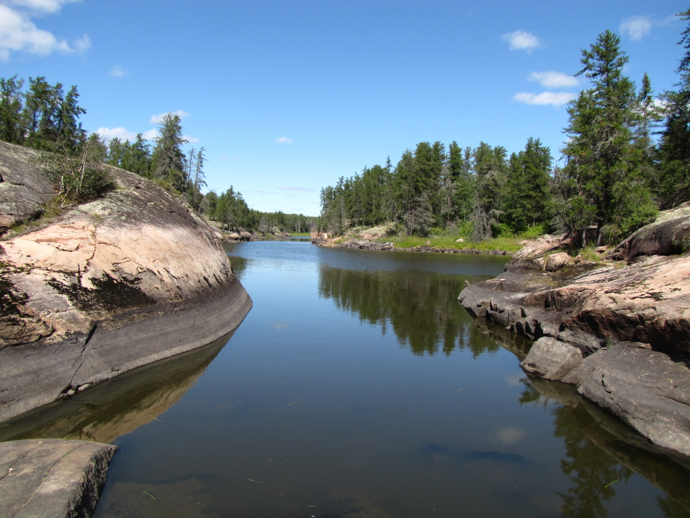
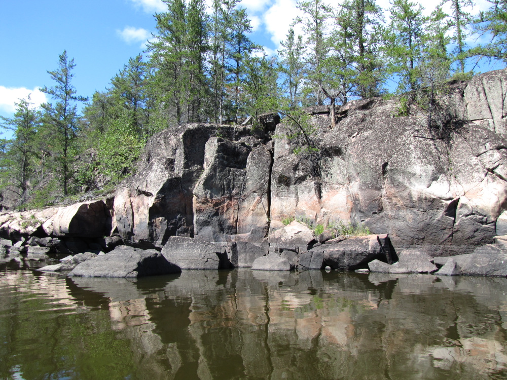
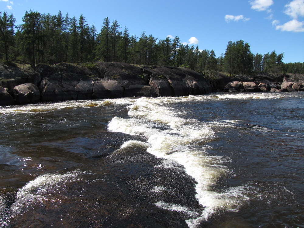
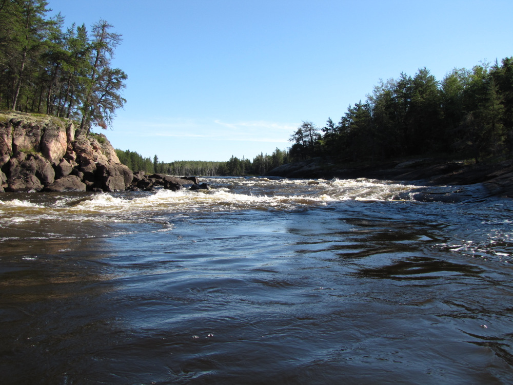
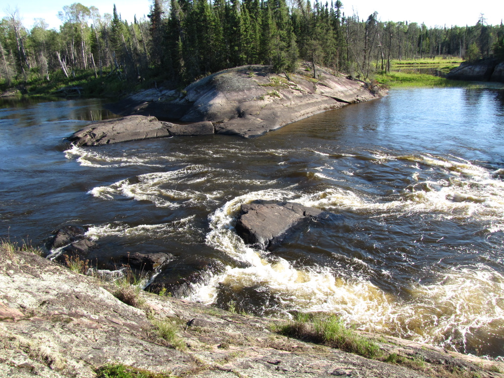
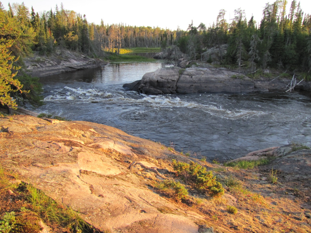
| Annuasi Falls, #79 was about an hour’s paddle past rock shorelines, it’s a mandatory portage here on RR, with the low water I’m able to take the short option by paddling up to the lip and dragging over the rocks, I left a nice streak of yellow paint to go with bits of red and blue canoe paint already there. Below the falls it’s an easy run around the bend past the long cliff face. The low water levels are really noticeable in this section and were an indicator of what was to follow. |
 |
 |
 |
 |
 |
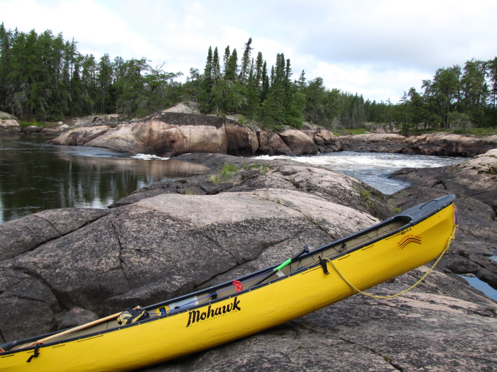 |
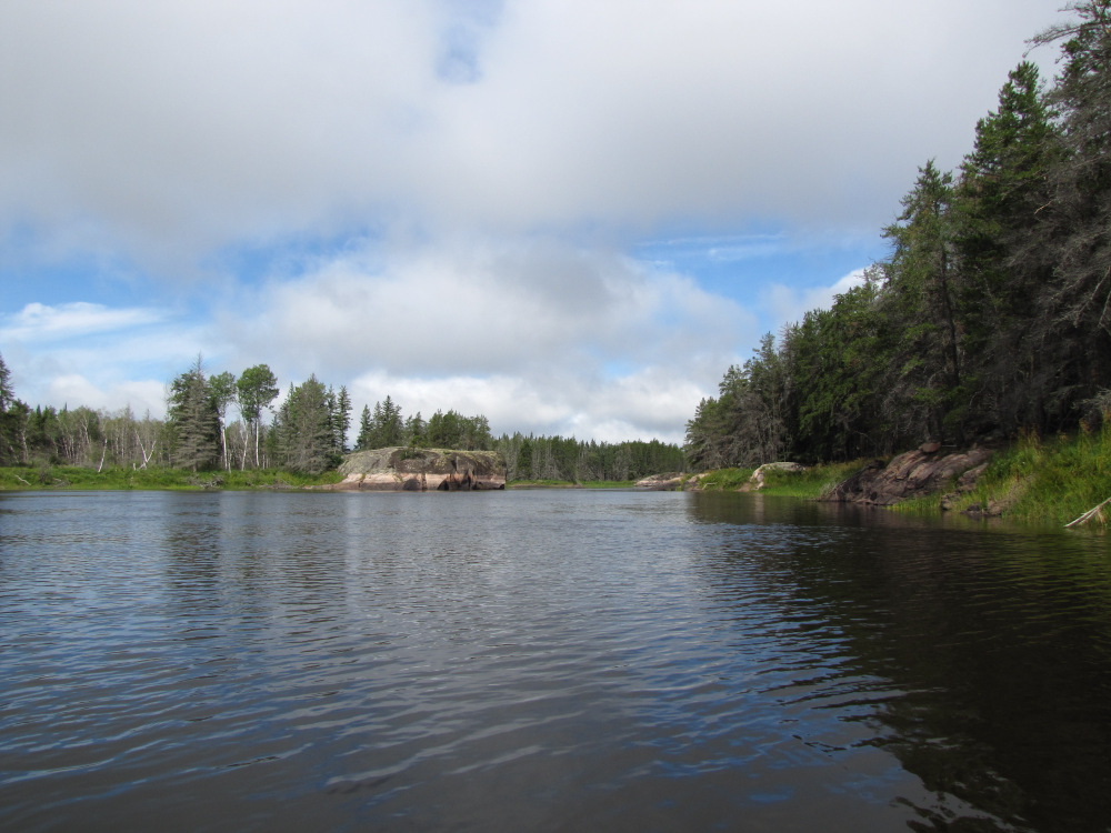
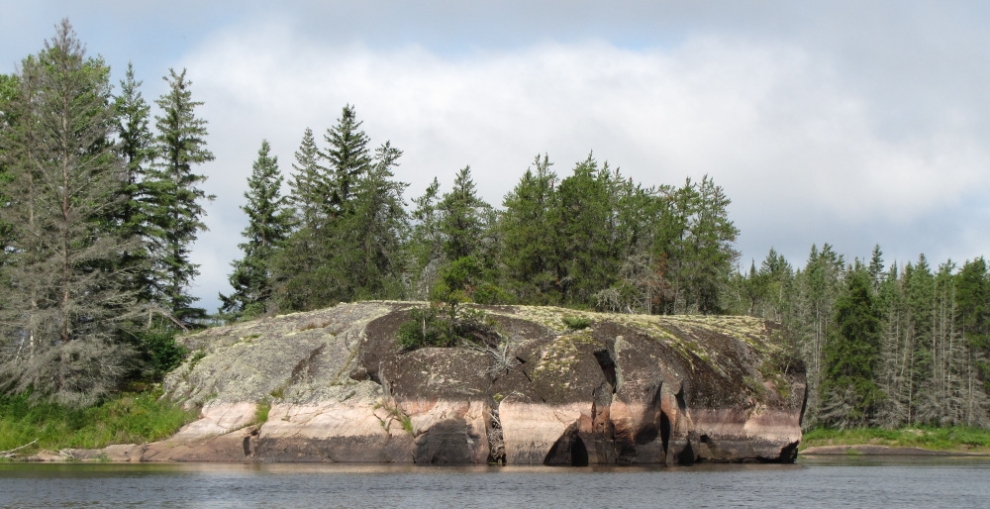
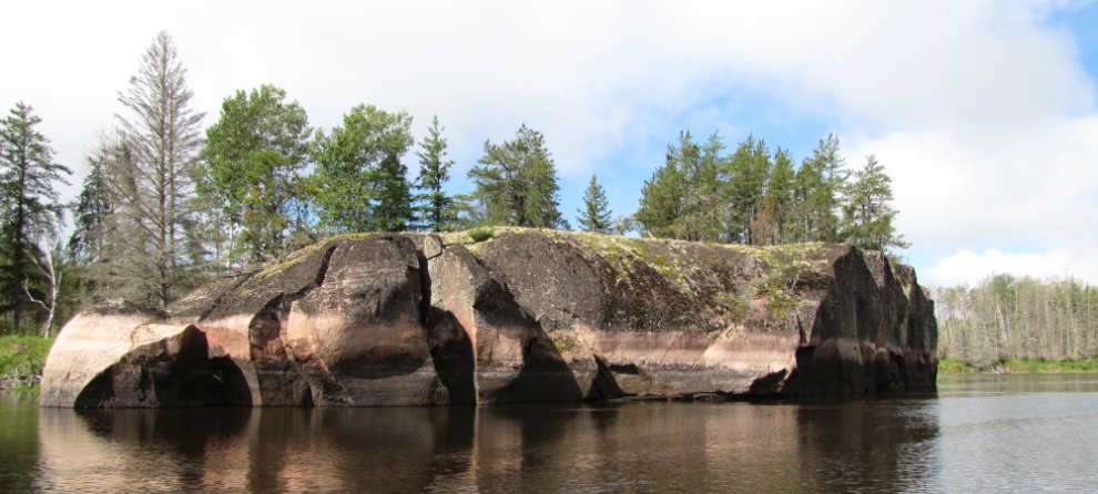
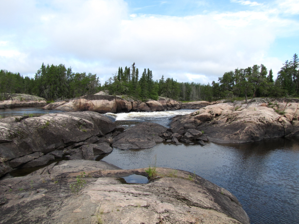
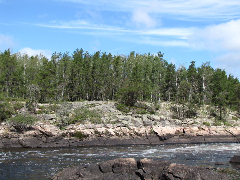
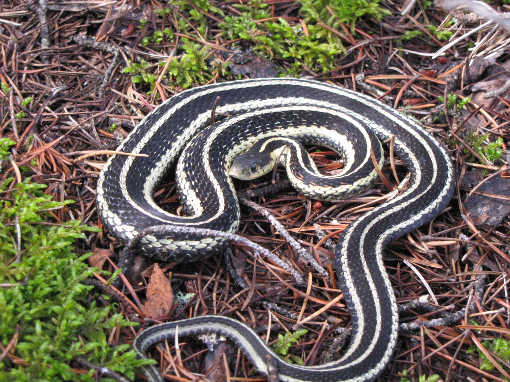
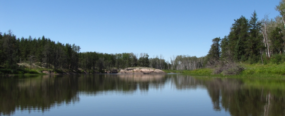
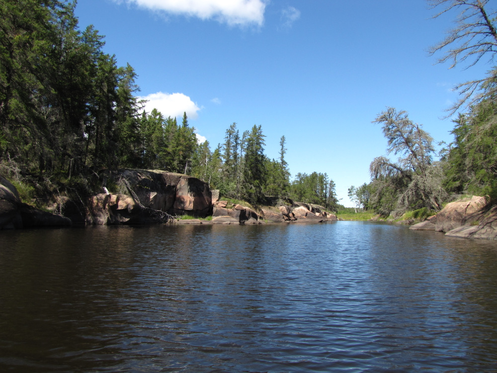
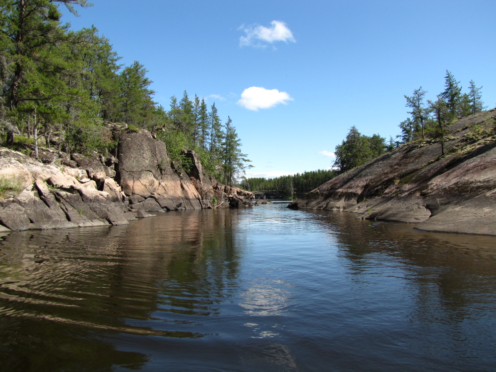
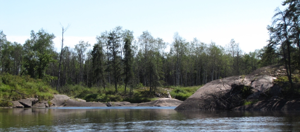
| Namay Falls, #80 was next up, the river splits here around a fairly large "island", the right channel is the main flow and the falls which requires a portage, the left channel is supposed to have just a short liftover. I went left through a small quiet section, the liftover is actually dead end with no water passing through, it’s more than 5m as well but still not too bad. After moving the stuff across I went to check out the campsite, not really that great, apparently across the river high up on the cliff there looks to be some nice spots, I’m not stopping so I didn’t bother to check it out. On my way back to the boat I met up with a nice garter snake who posed for a few pictures. |
 |
 |
 |
 |
 |
 |
 |
 |
 |
 |
 |
 |
 |
 |
 |
 |
 |
 |
 |
 |
 |
 |
 |
 |
| I was just about to push off when I was startled by the appearance of a pair of paddlers, more surprised to hear there were 10 more coming up behind! It was a group of 12 from Camp Kaladore, they had started at Lund Lake and had been following my yellow paint all the way. While they stopped for lunch I headed off downstream and had a floating lunch on my way, it was really turning out to be a beautiful day. |
 |
 |
 |
 |
 |
 |
 |
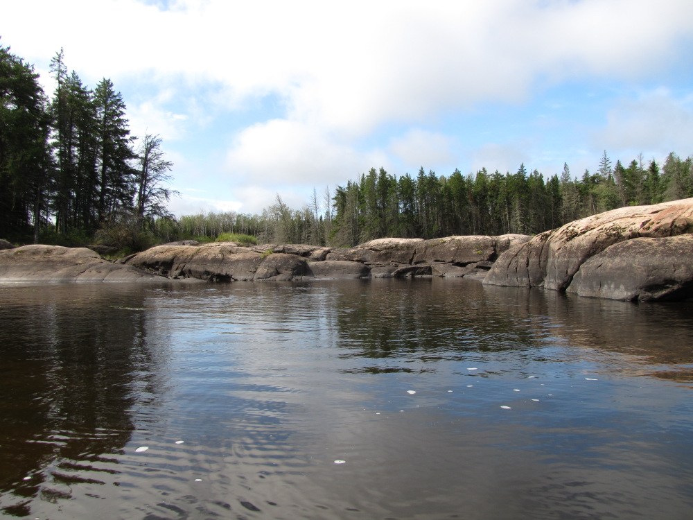
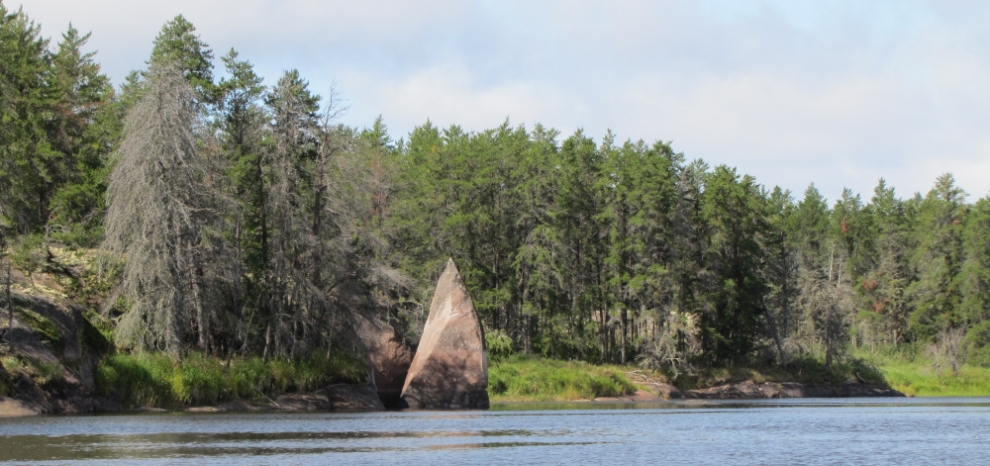
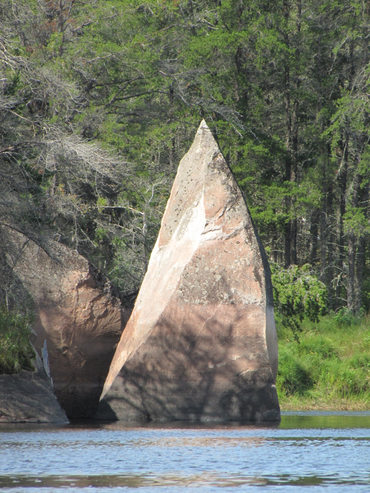
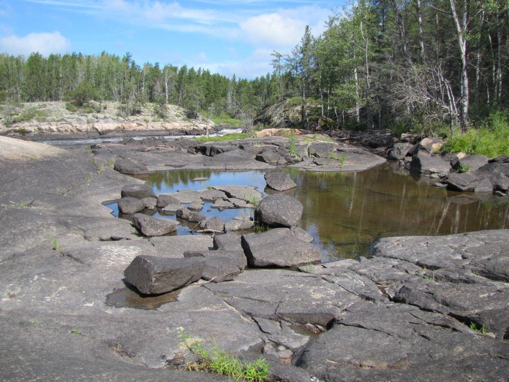
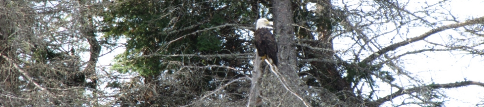
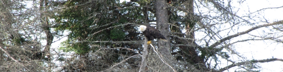
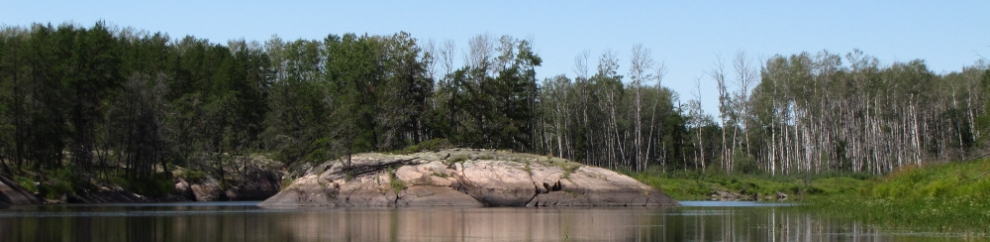
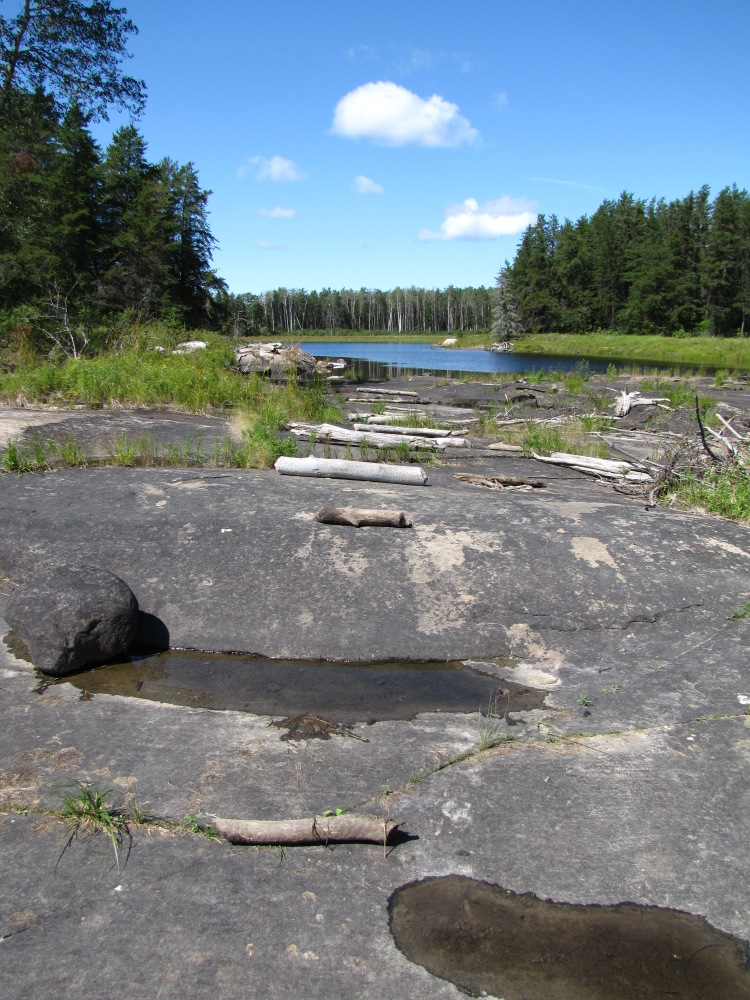
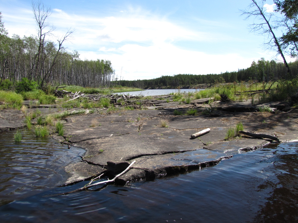
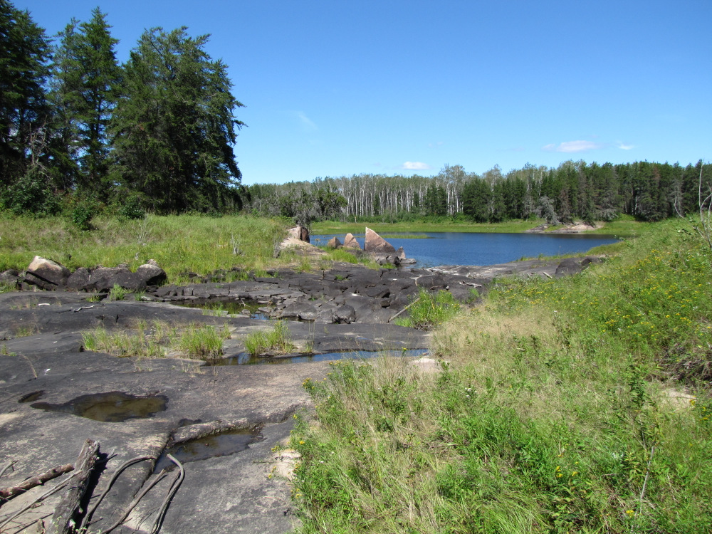
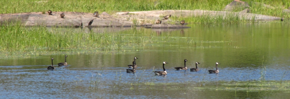
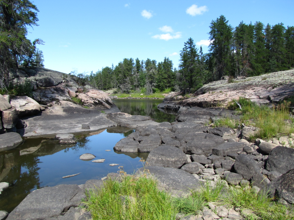
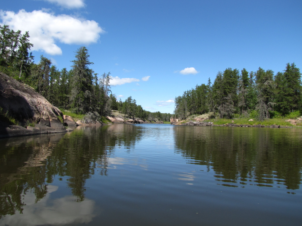
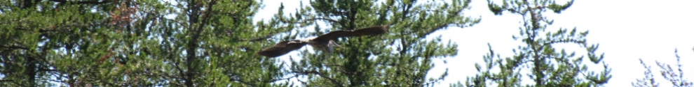
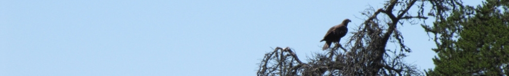
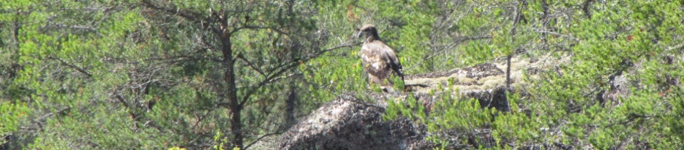
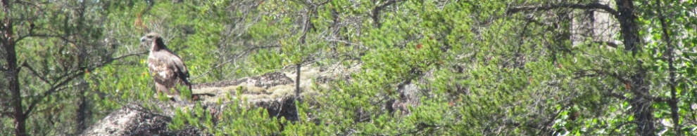
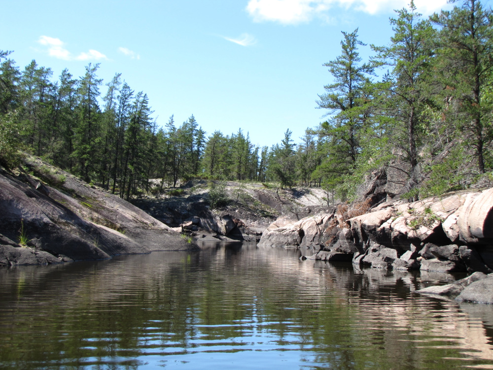
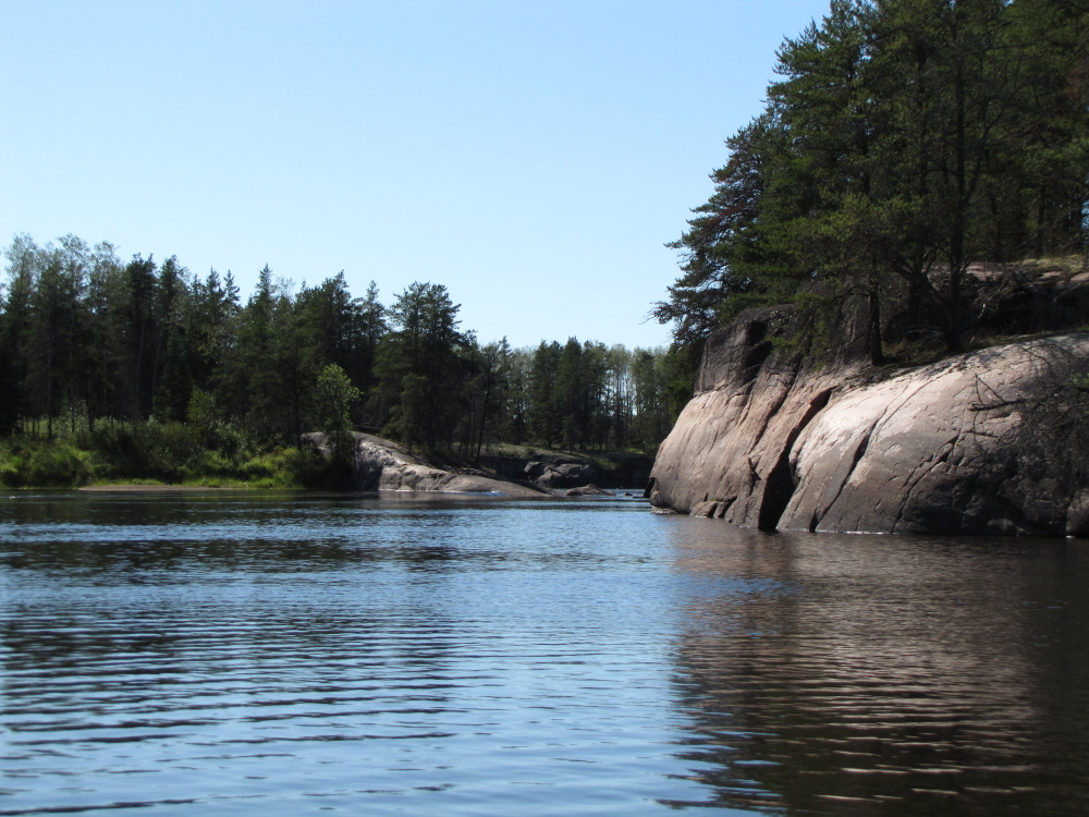
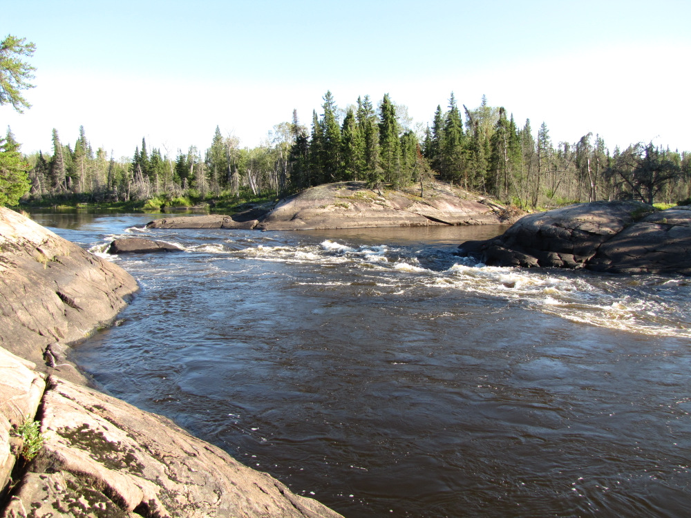
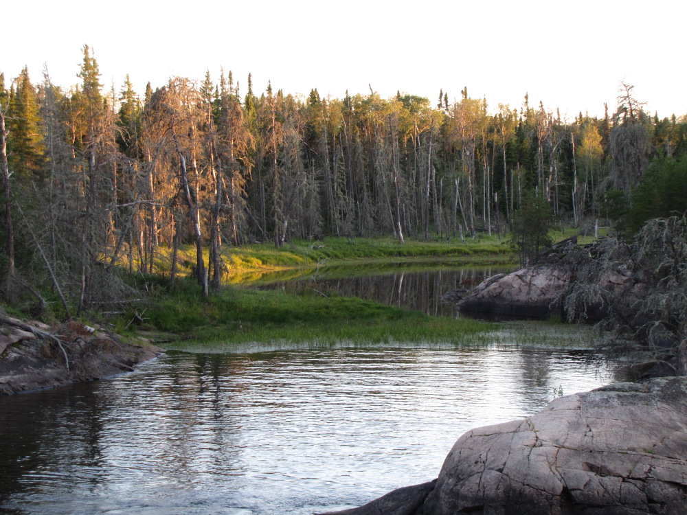
| Up ahead the river once again takes a sharp turn at a fault line, just past the turn the river splits around a huge triangular shaped island, more water flows to the right but it’s quite a bit longer than the smaller left channel. There are two CI’s on the right, two swifts marked on the left. Being the left-leaning type and always seeking the shortest route I went to the left. It’s a very small and scenic, seemingly full of birds, numerous eagles, a heron and a bunch of others. The first “swift” was bone dry, there were a few roller logs on the flat rocks, I added some more then carried a couple of my heavier bags and rolled the boat over with the rest. |
 |
 |
 |
 |
 |
 |
 |
 |
 |
 |
 |
 |
 |
 |
 |
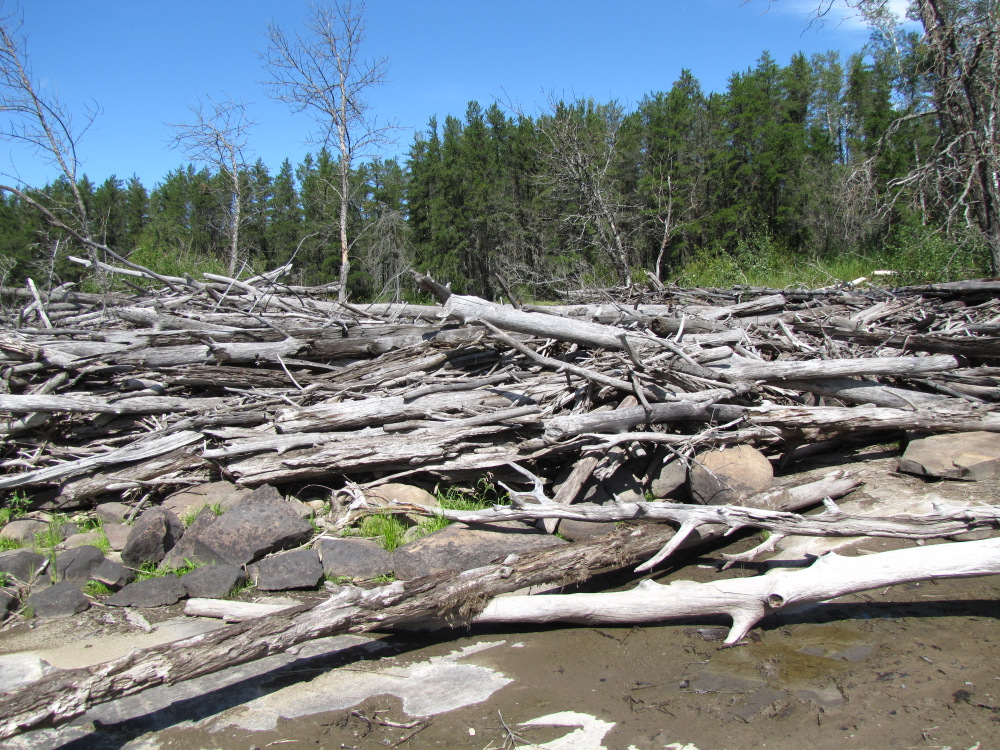
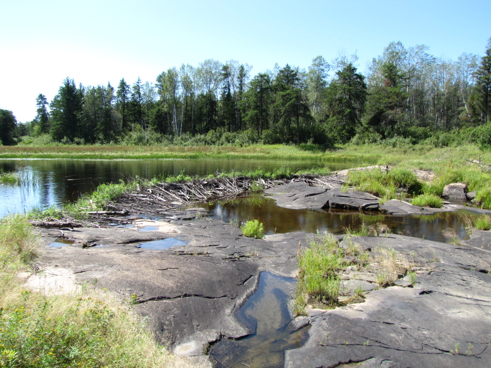
| The second “swift” was also totally dry, aided by a beaver dam! It was a somewhat bumpier crossing; I carried three loads and dragged the boat leaving quite a bit of yellow paint! Swift #3 near the end was very short with a finish via a stagnant puddle that was passed with one little fully loaded drag. |
 |
 |
 |
 |
 |
 |
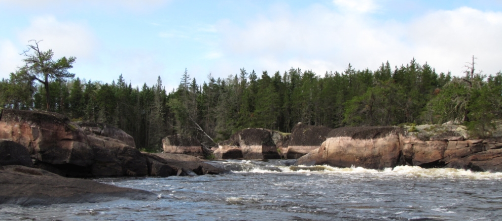
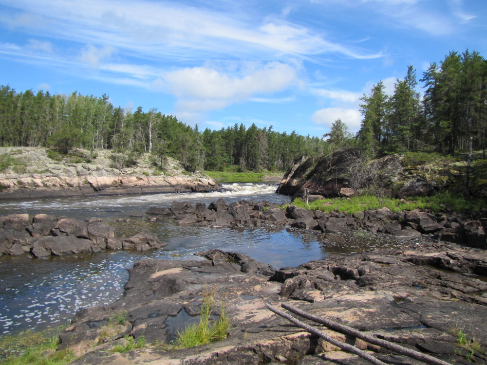
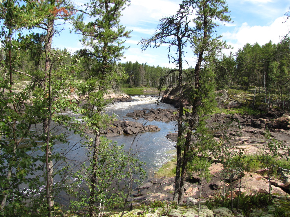
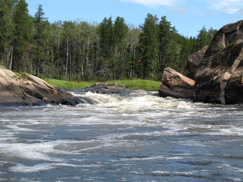
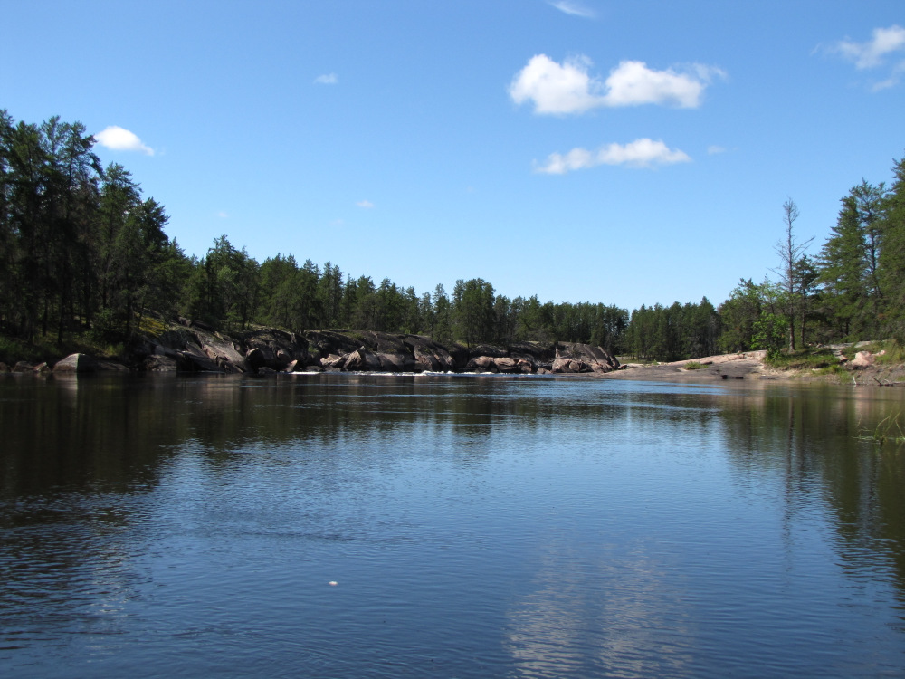
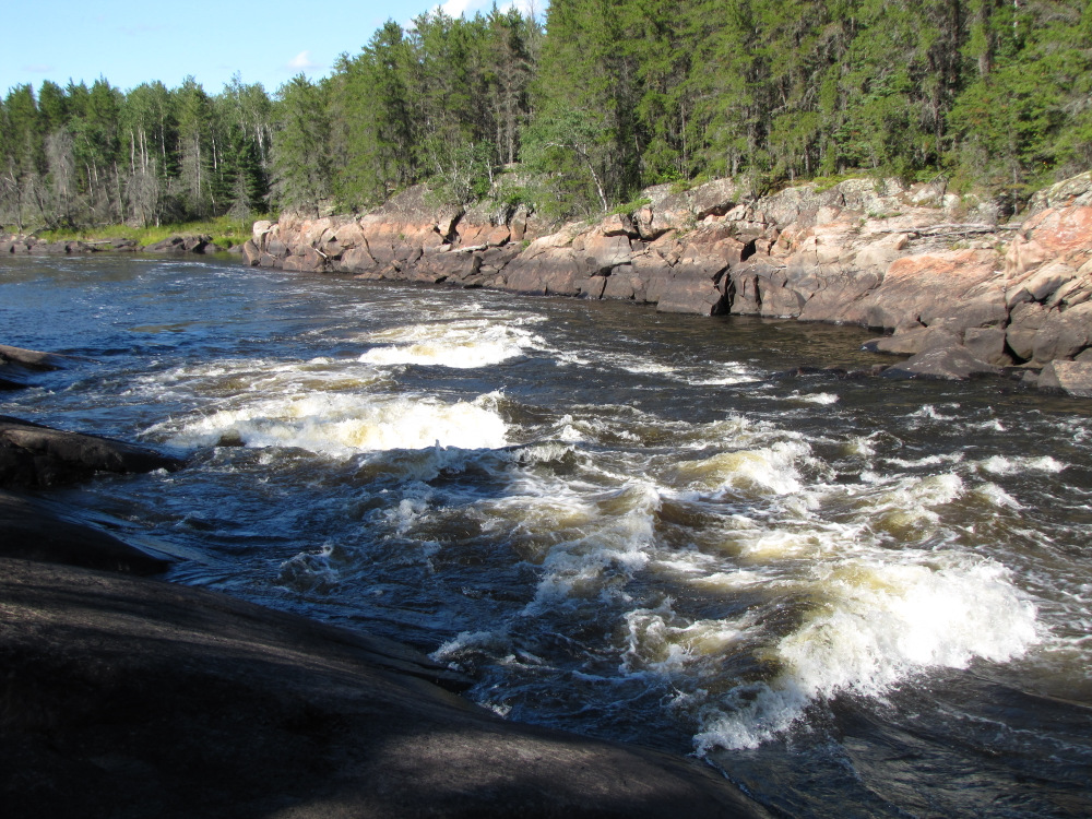
| It’s not far to #83, Namay Rapids; it’s another great camping area, tons of gently sloping rock along RR with a great 3 ledge CII rapid to play in. At current water levels it’s a pretty easy run on RR all the way, the main flow looks like it would be a fun ride, if I was camping here I would definitely to playing around in the bigger waves. Just as I finished my run the Kaladore group showed up, they all ran the top ledge and pulled in to camp at the primo area. I thought about staying as well but it was only 4:00pm and it would make for a long day tomorrow if I was finishing. |
 |
 |
 |
 |
 |
 |
 |
 |
 |
 |
 |
 |
 |
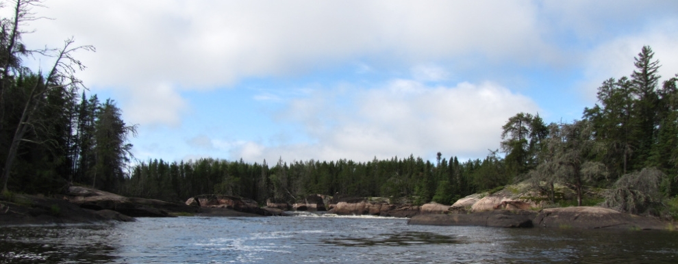
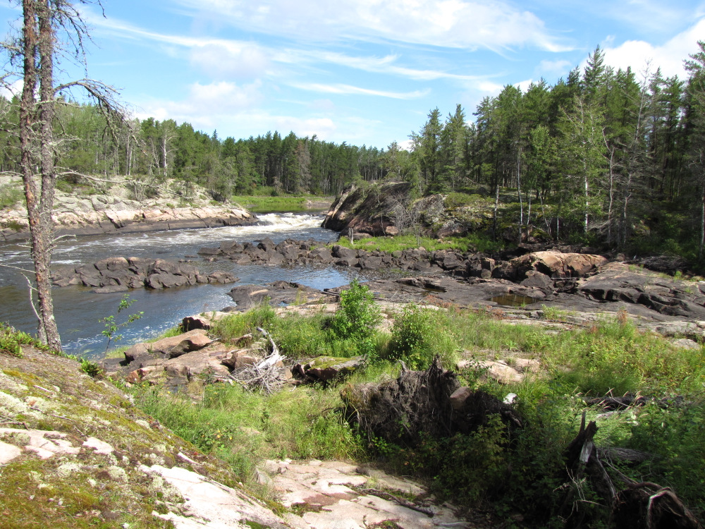
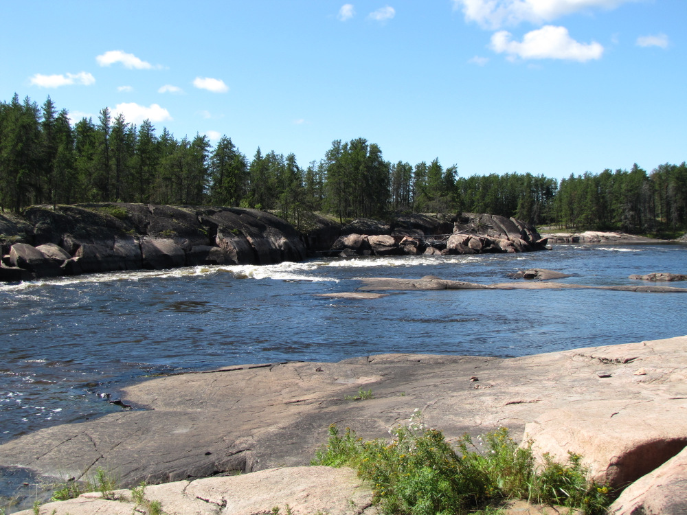
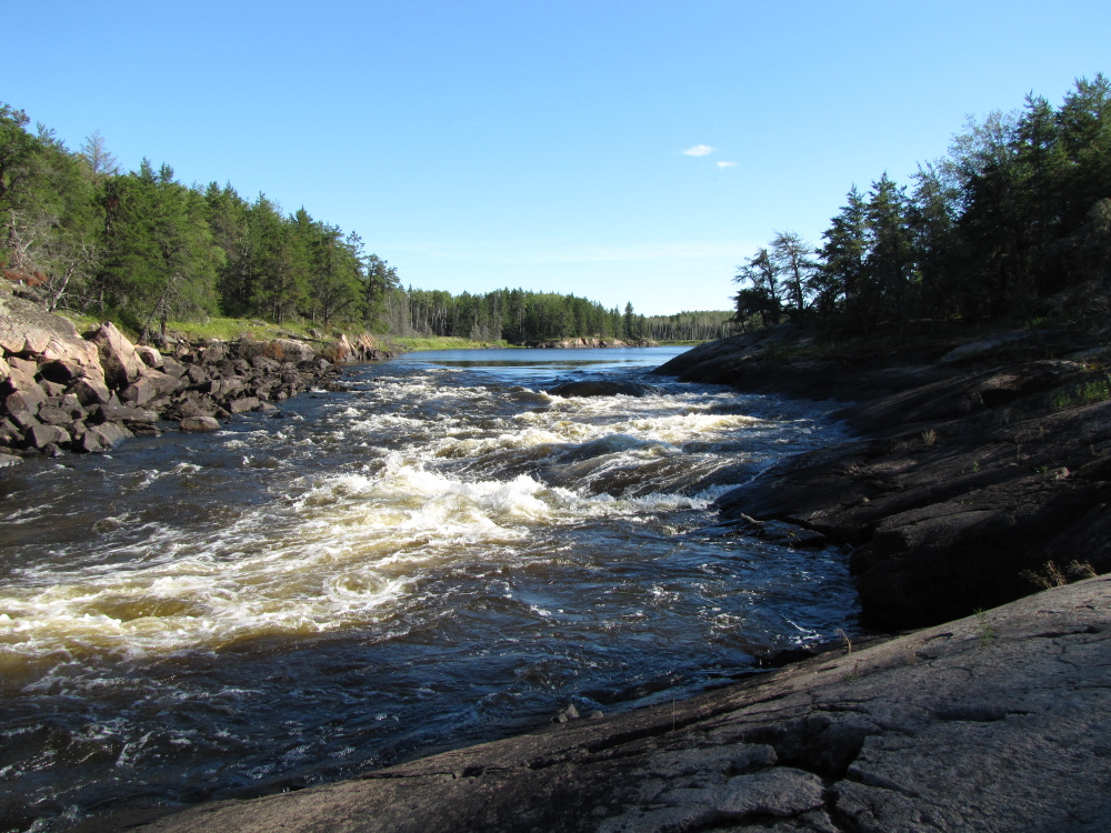
| Kaokonapeekewonk Rapids, #84 is an easy CII run followed by a few km’s of flat water leading to #85, Akeeko Rapids a CIII. I was worried about this one at least in the sense that it might be an actual carry your boat portage, a prospect that didn’t really thrill me. I pulled in at the steep takeout on RL and walked the portage over the not so gently sloping rock. There was a beat up green canoe here, the third abandoned boat of the trip. There are three small holes on RL, on RR there was a good clean run avoiding any danger if one is paying attention. Surprisingly the right was relatively free of rocks, on my run I did rub over a couple of hidden ones but no issues of consequence. |
 |
 |
 |
 |
 |
 |
 |
 |
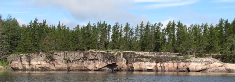
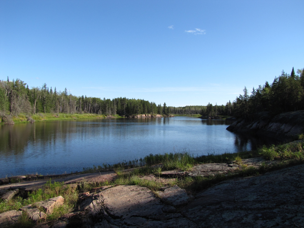
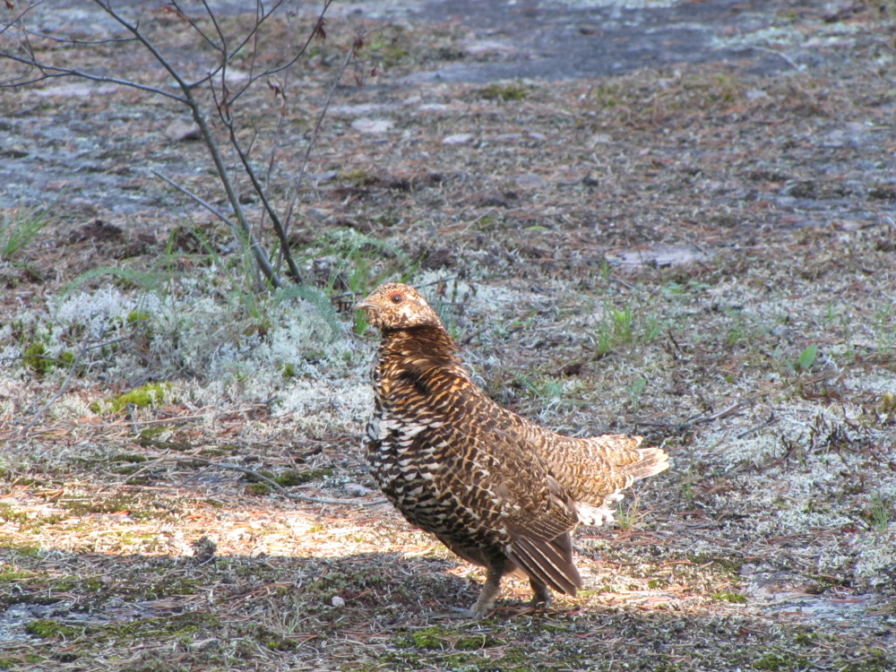
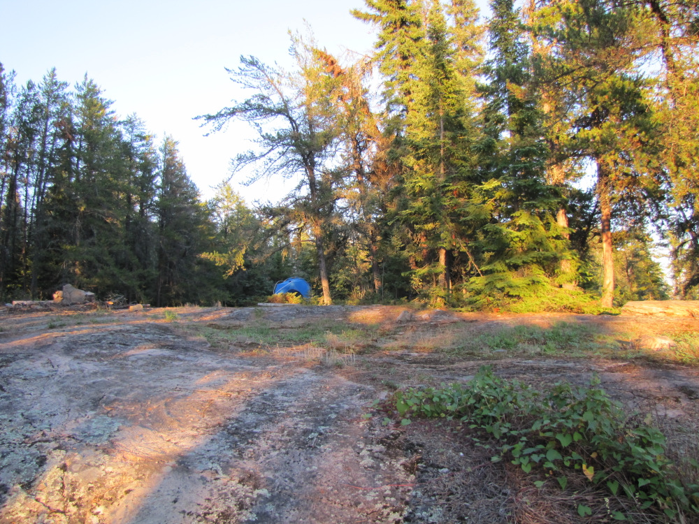
| It’s about 45 minutes from here to Lagoon Run, #86 where I plan to camp for the night. Along the way I’m surprised by a swift, marked on the map which turns out to be a CI. The takeout here is very steep; the bank is very slippery mud which might be truly horrible if it was wet. Beyond the mud is a short but steep climb up smooth rock to the top plateaux which has dozens of tent sites spread over 3 areas, I find a group of 4 grouse wandering about. HW suggests accessing the camp from below the rapid; I walked to that end and found an even steeper climb albeit without the slippery mud. I decide to carry my gear up to the camp and leave the boat to run empty in the morning. |
 |
 |
 |
 |
 |
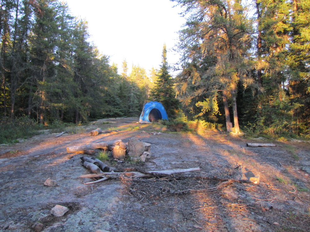
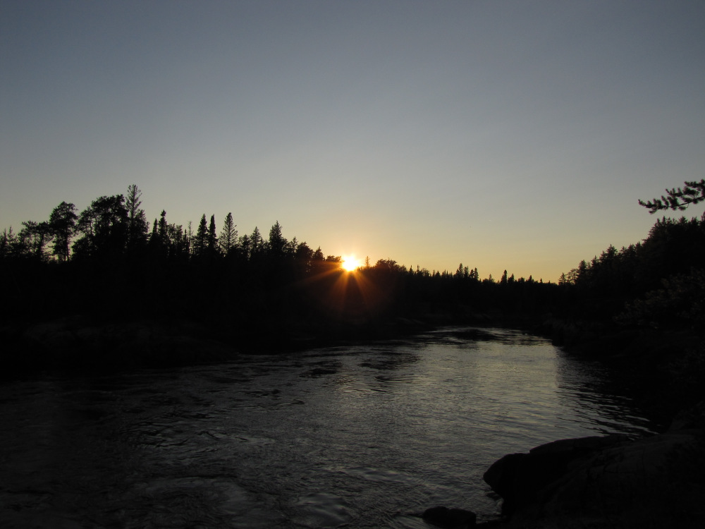
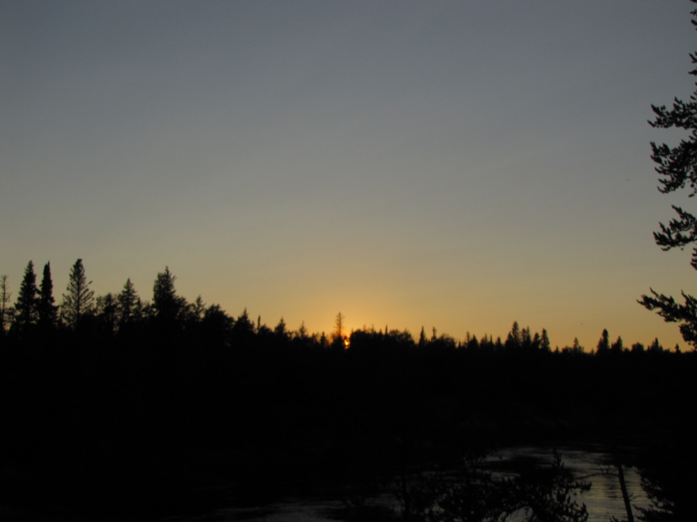
| The camping area overlooks the rapid far below, it looks like a simple enough run, after all it’s only a CII. I set up on a mossy spot, it was still pretty wet from previous days of rain but I prefer soft and moist over hard rock. I made dinner then spent some time sorting my trash in preparation of building a fire. Temperatures have fallen dramatically, into the single digits and continuing to go lower. I stayed up late burning a “legacy log” and enjoying the bug free starlight, this would be my last night on the river, tomorrow is an easy 20km, in 24 hours I’ll be on the road making my way back to outside world. |
 |
 |
 |
 |
 |
 |
 |
| Previous Day | Contents | Next Day |
| Main Page |