| Bloodvein River Solo 2015 |
|---|
|
Tuesday Aug 11 – Day 16
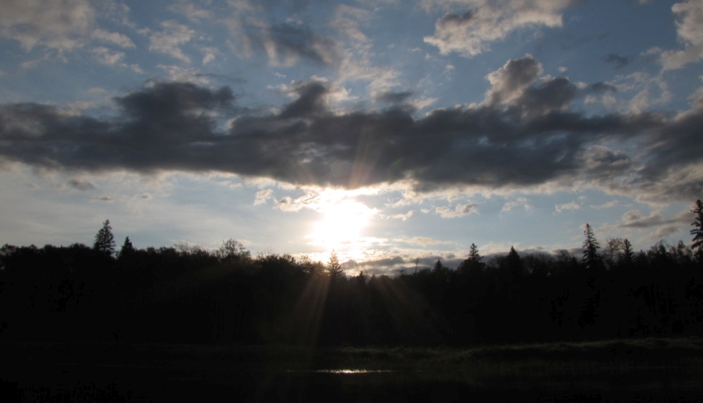
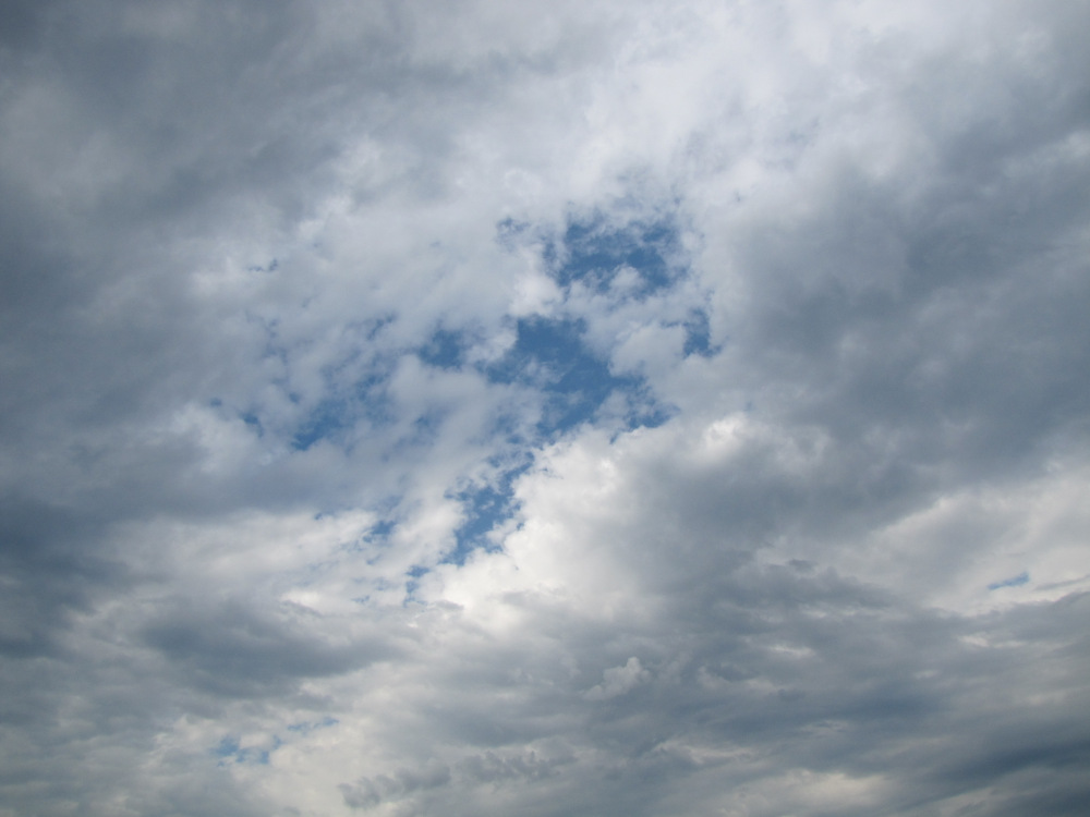
Time: 12 hours 7 minutes Distance: 35.2 km I woke up at 6:00am just in time for sunrise. There was just a bit of cloud and a slight breeze, very quiet other than the cabin mouse. Made a mug of tea, chewed on a granola bar and got ready for a quick exit. I set off at 7:30am……wow! |
|
|
|
|
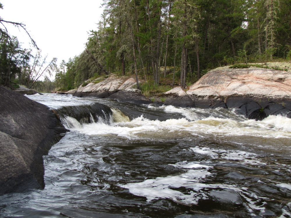
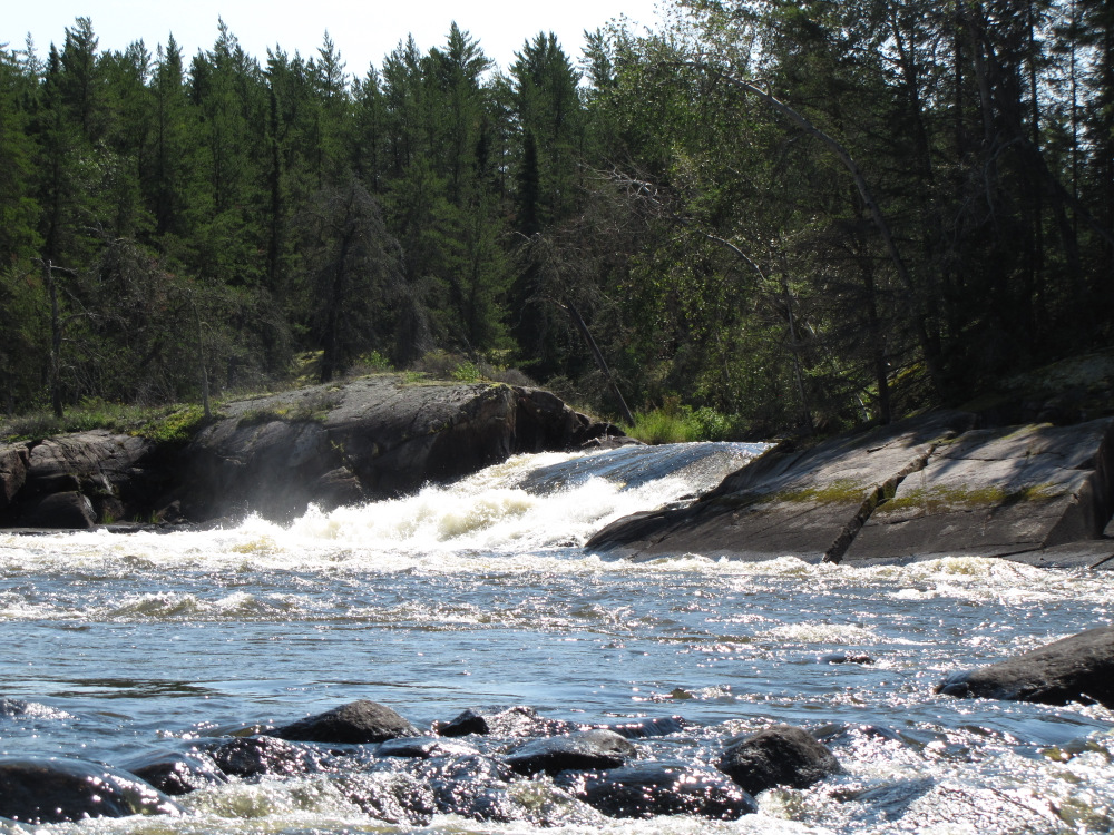
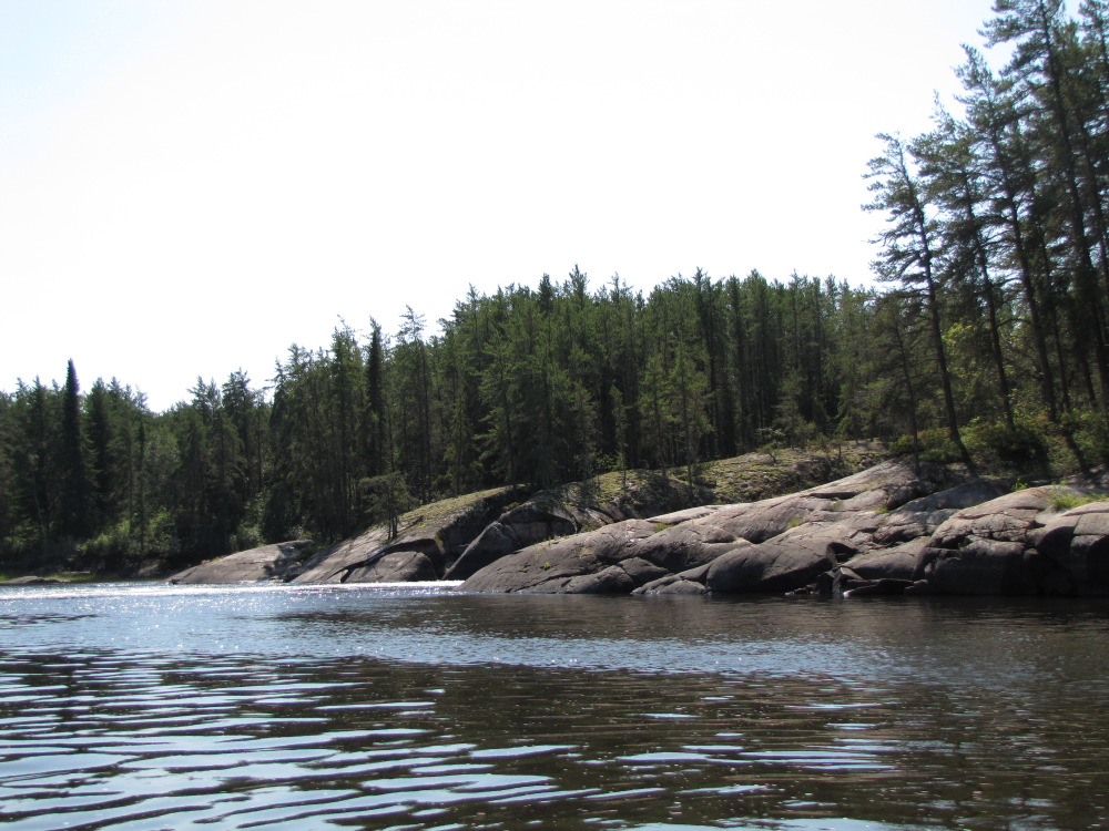
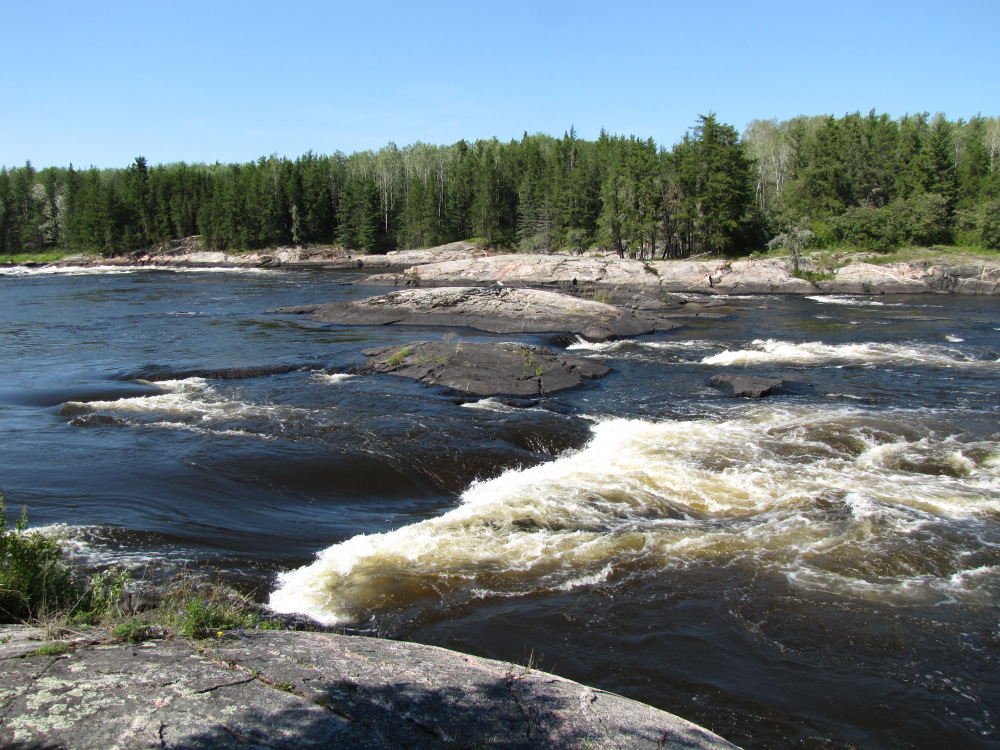
| First up, #35 a CII was an easy drop through the right channel. At the island I went right for #36a, it’s a narrow 3 part CII with sloping rock on both sides, fast all the way with just a bit of maneuvering. As I passed the entry of the left channel I looked back upstream at #36b, looks like a CIII/IV ledge that would require a short portage/liftover. |
 |
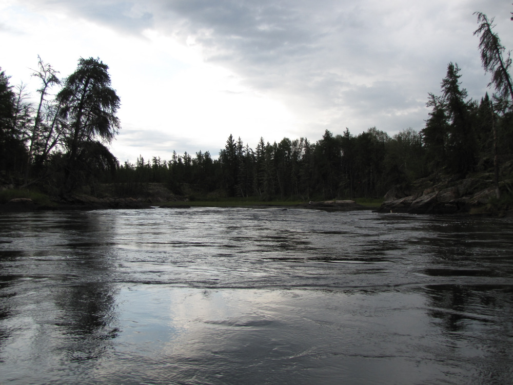 |
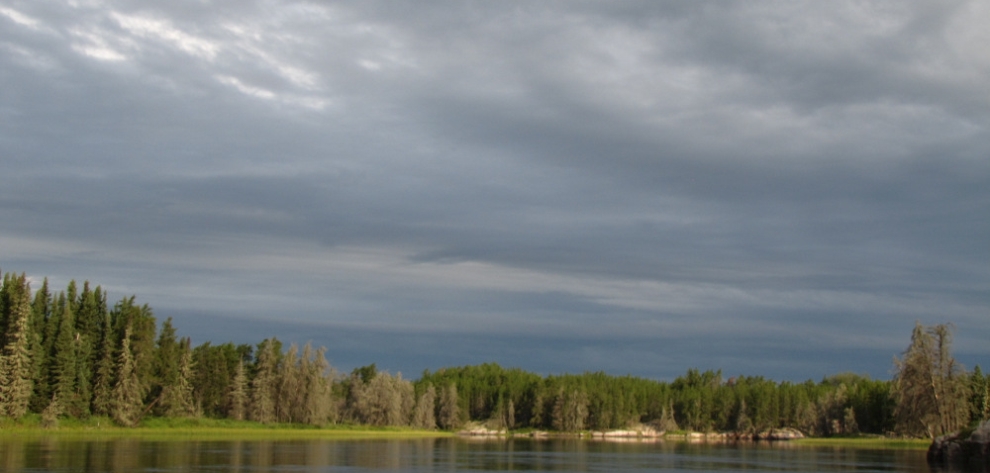
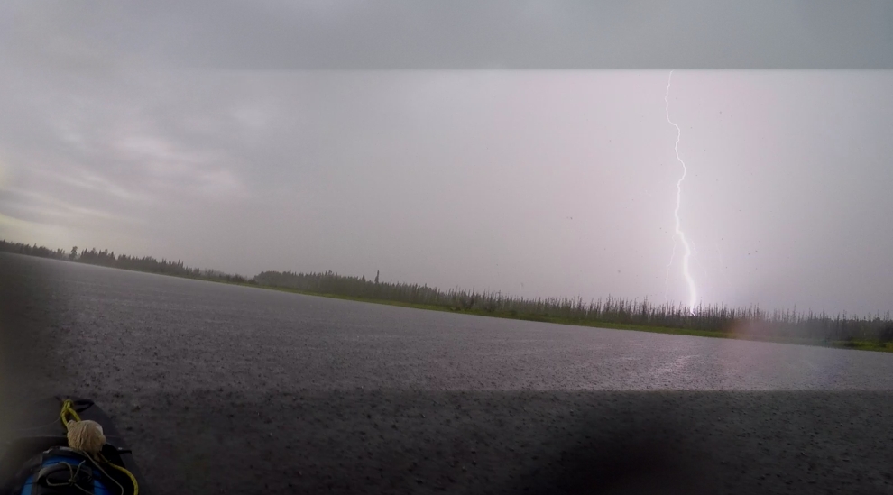
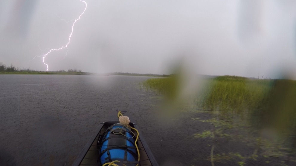
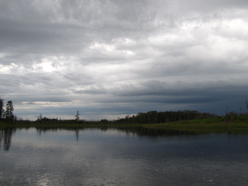
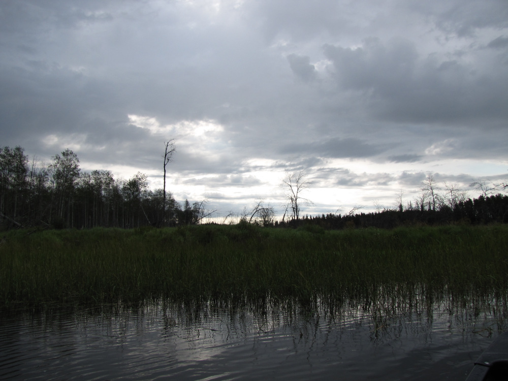
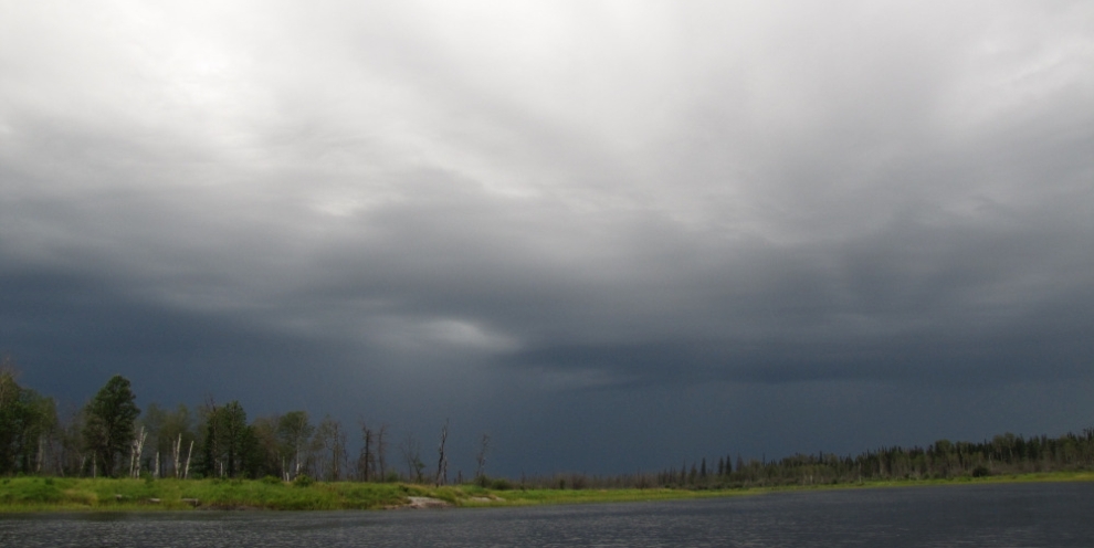
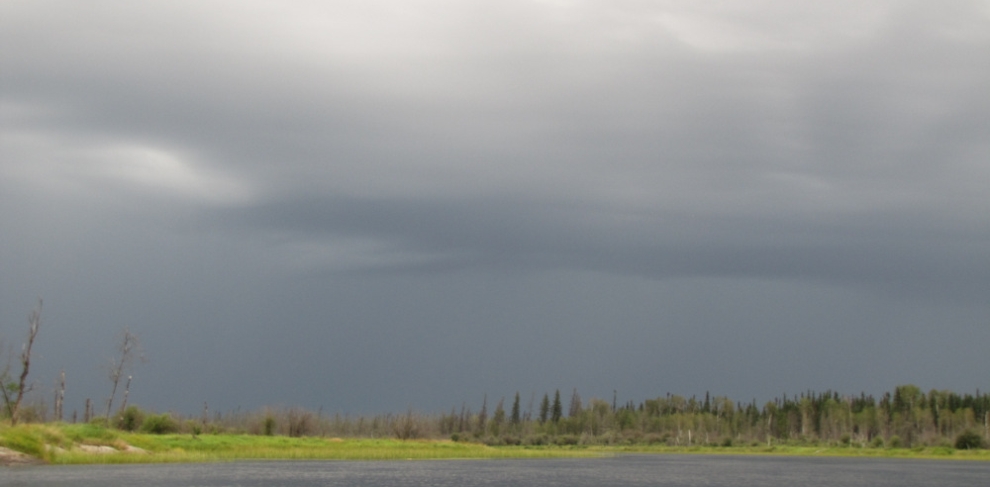
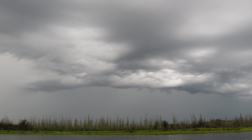
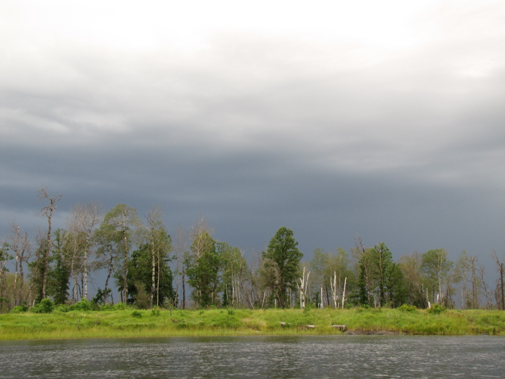
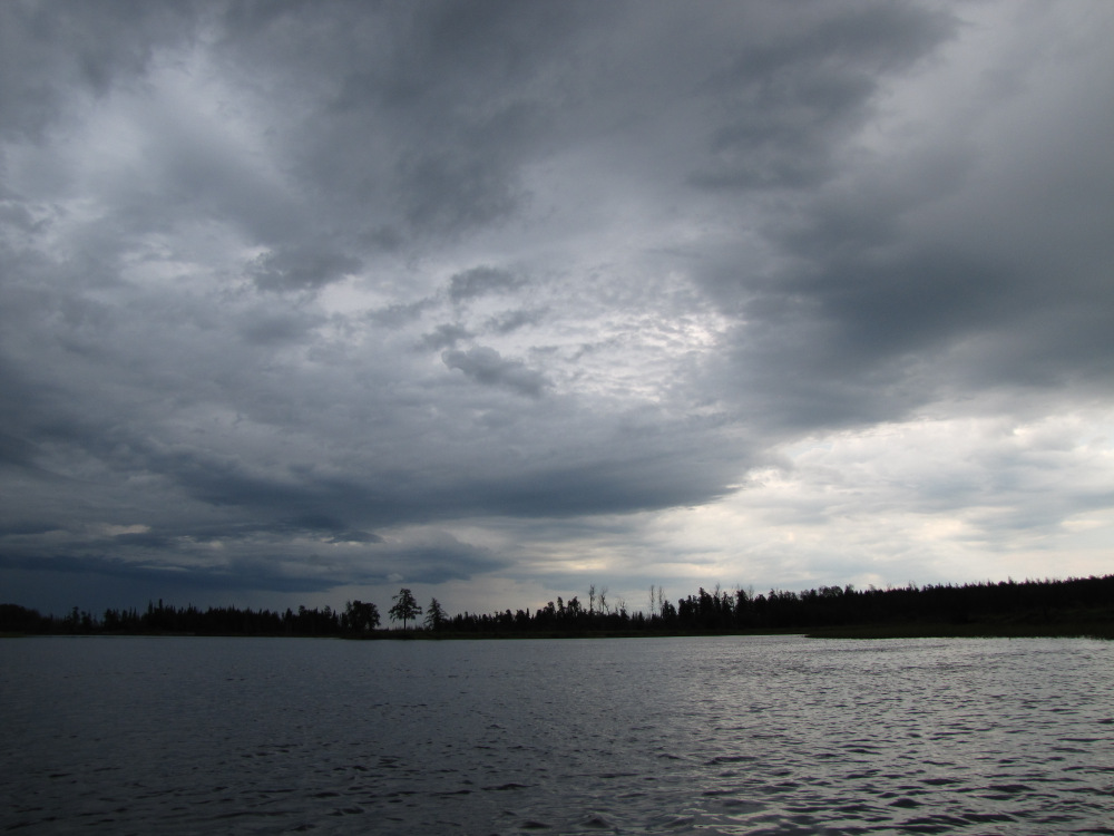
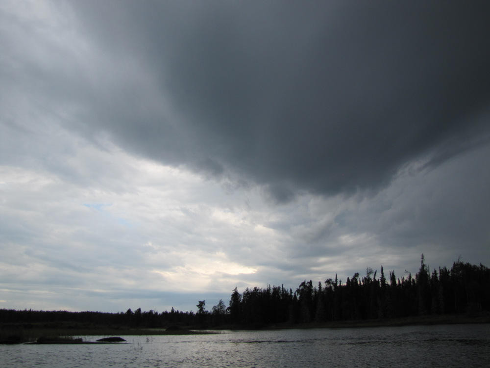
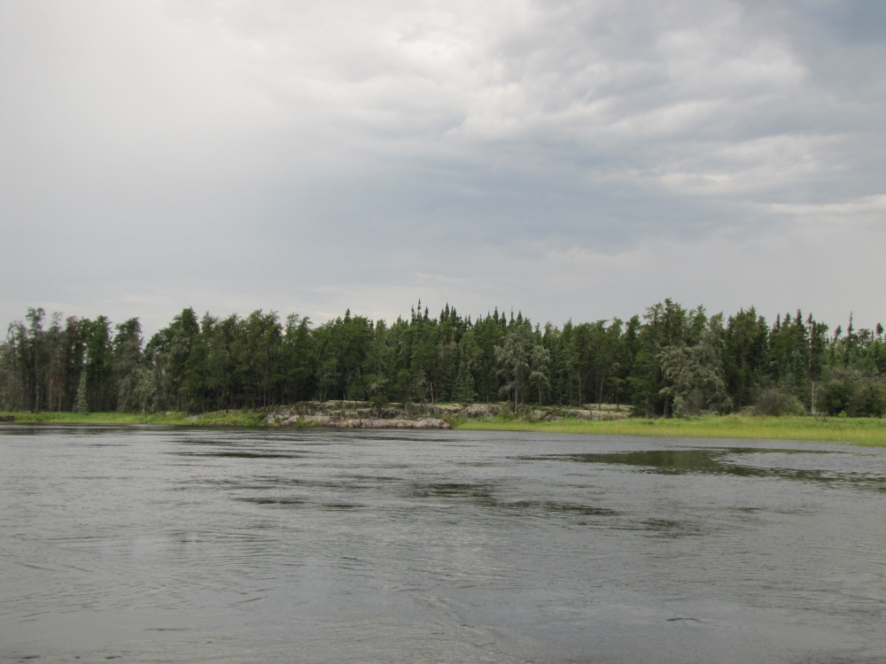
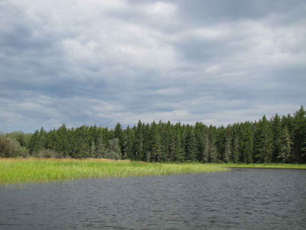
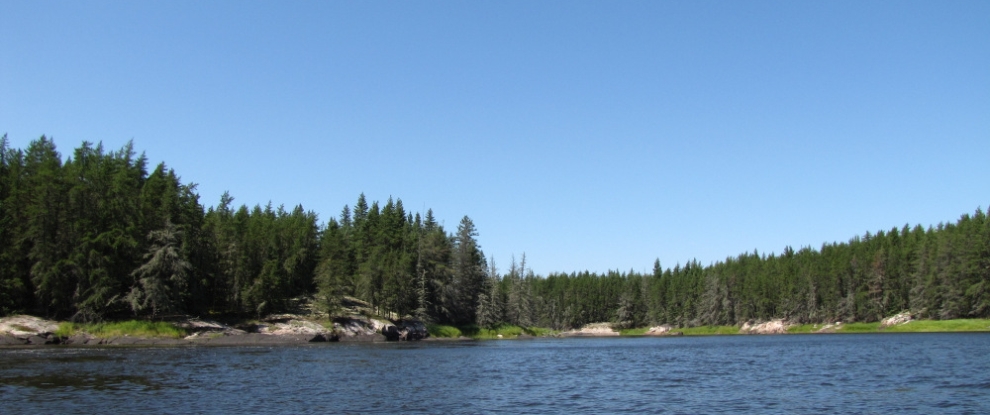
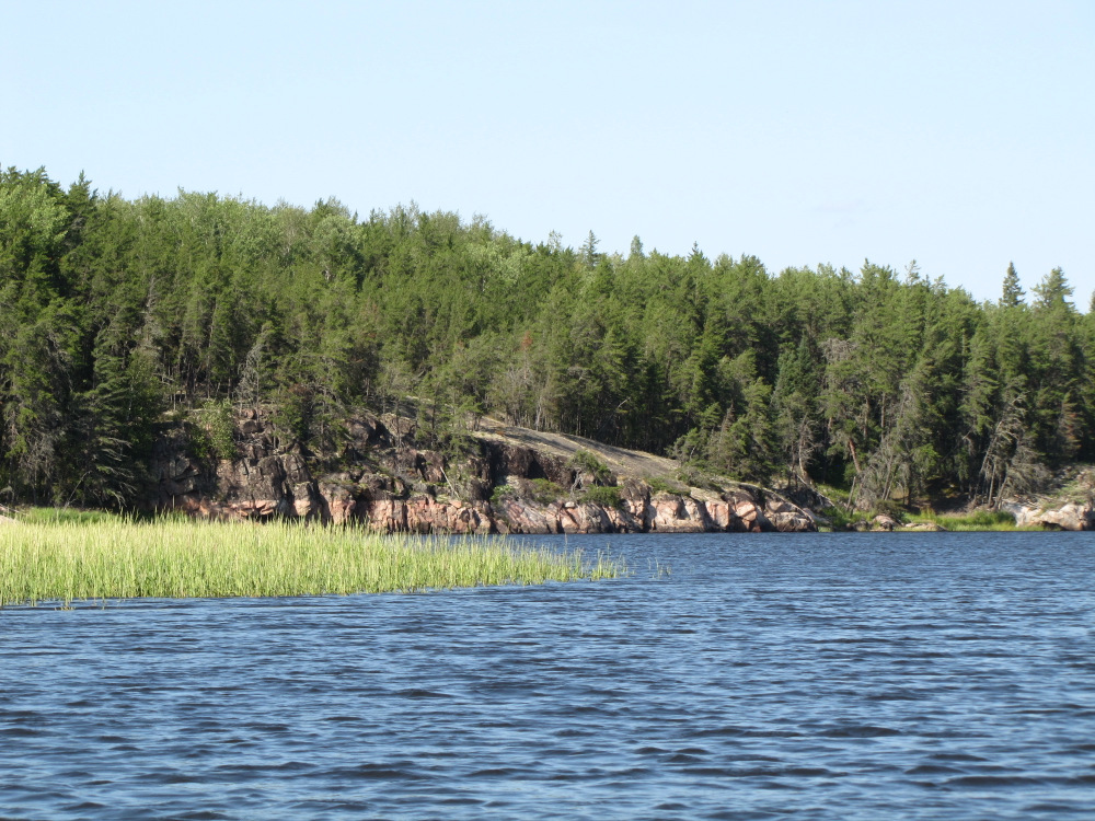
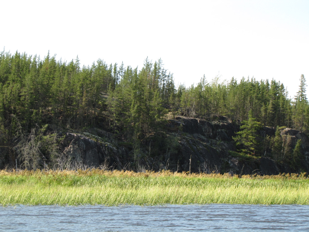
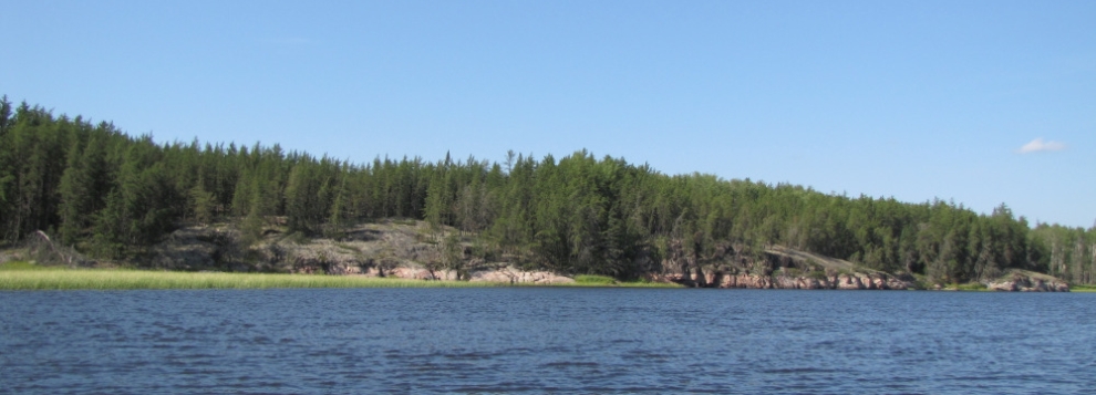
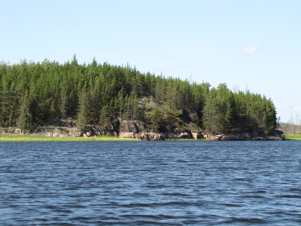
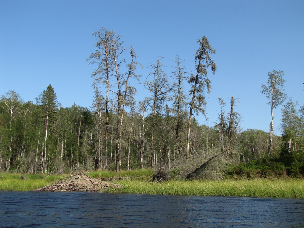
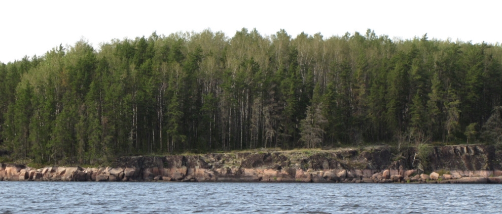
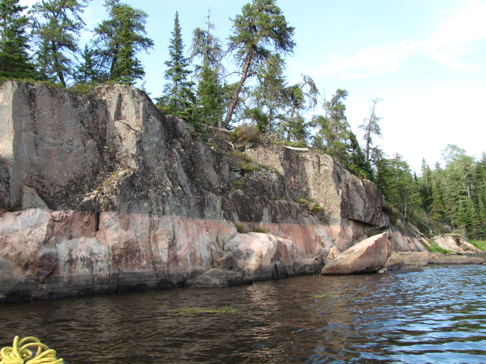
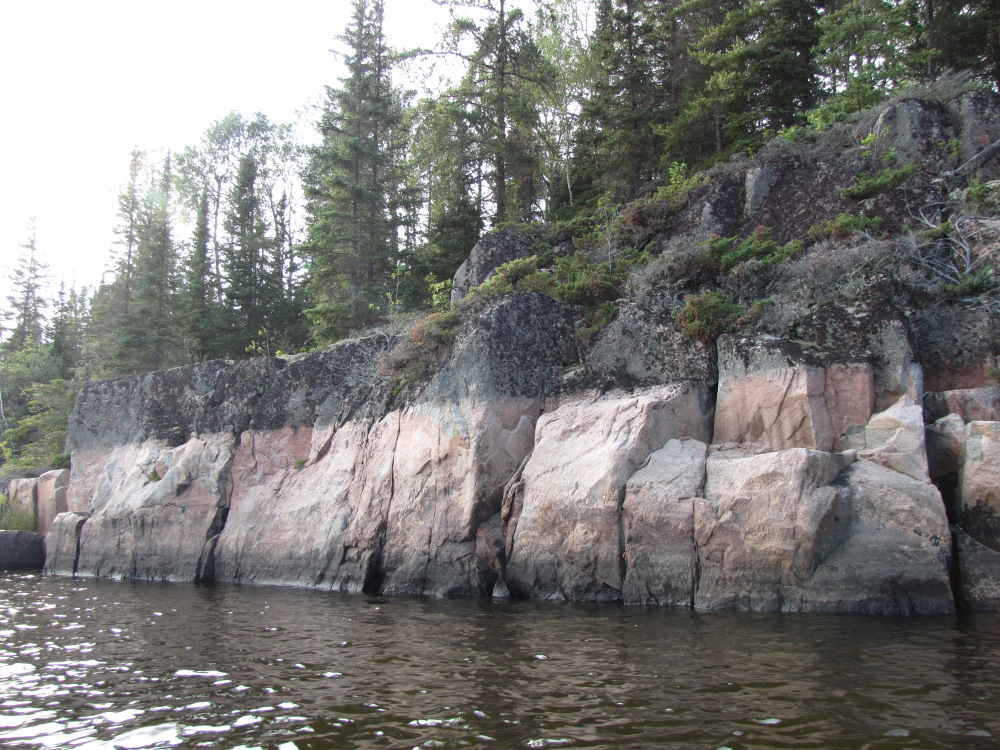
| Ahead the sky is getting very dark with the constant rumbling of thunder. I start to see lightning flashes ahead and wonder if this storm will hit me or pass by me. After #37, an easy CI, the land flattens, the rock and trees are replaced by wide swaths of weeds and rice, some long dead trees likely the remnant of very old fires give that the tree cover on the distant dry shore is mostly poplar. Sporadically there are some small outcrop islands rising out of the reeds. The lightning is getting closer now, it’s clear at least part of this storm will hit me and sure enough the rain starts. At times it’s very heavy, a nearby crack of thunder gave me a bit of a shock (mental not electric), funny thing was that the wind barely picked up during all of this. I finally decided to get off the water but by the time I came to a good spot the rain was easing up, then stopped and never returned. Through all of this “action” I could see nice weather in the distance to the South. Gradually patches of blue appeared, the storm moved on and it turned into a glorious sunny day. |
 |
 |
 |
 |
 |
 |
 |
 |
 |
 |
 |
 |
 |
 |
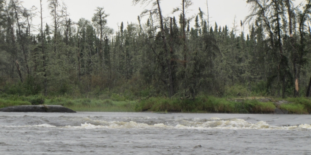
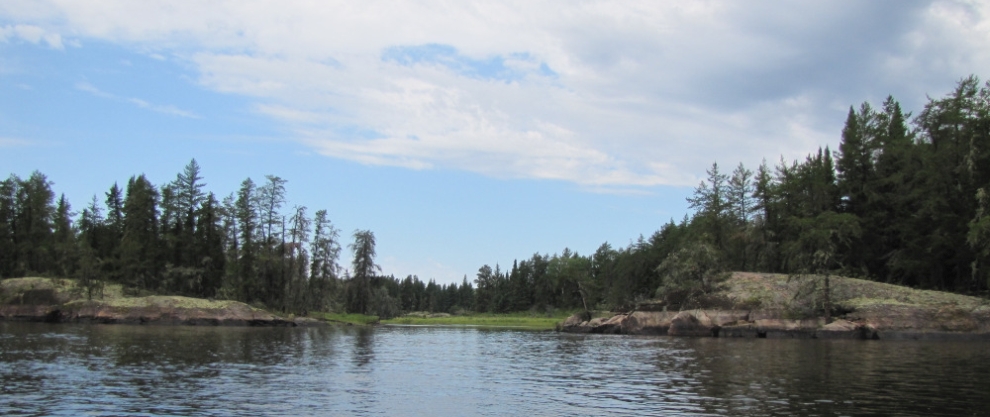
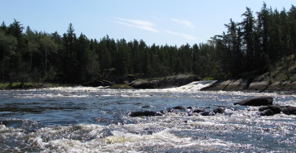
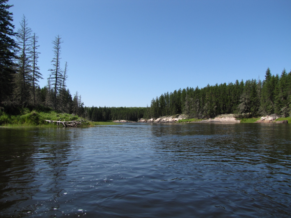
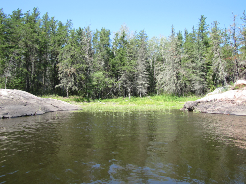
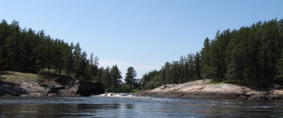
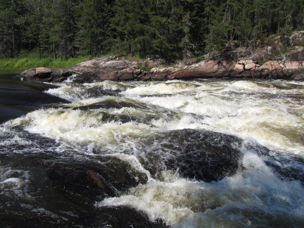
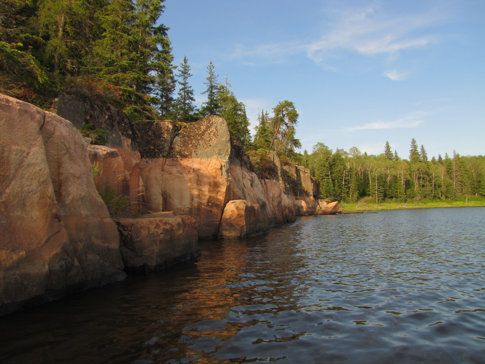
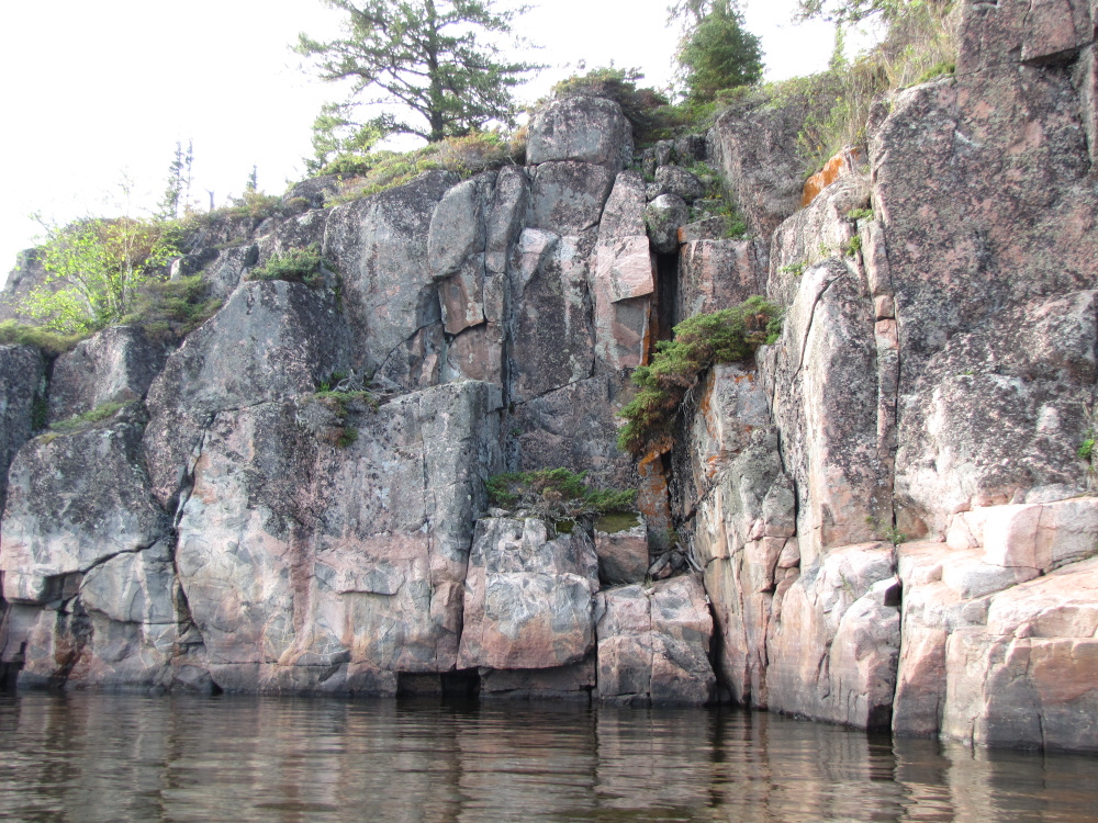
| I was soon into more familiar topography around rapid #38, a CII which was a nice run. At the big island I decided to take the right channel, if one was looking to camp the left channel’s Island Rapids apparently has a nice campsite to go with a mandatory portage. Rapid #39 has an easy CII lead in, at the bottom the river splits around an island, RR features a gnarly CIV, RL has a very narrow rocky channel, it’s pretty easy to reach the island in the middle unless you are sleeping, there is a very short portage over the island or you can do as I did, line and drag through the river left channel. Just downstream is #40 & 41, both nice little CI/II rapids. Now past the big island there were 5 rapids coming up, they included the biggest stuff of the day while I had avoided any portaging so far I was pretty sure that was going to change. |
 |
 |
 |
 |
 |
 |
 |
 |
 |
 |
 |
 |
 |
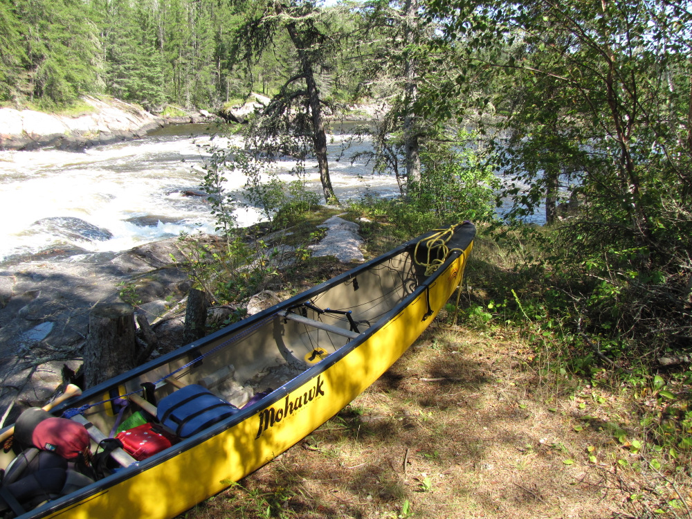
| At #42 I ran the easy top to the portage takeout as I had no wish to run the CV bottom! I carried three loads and dragged the canoe; the sun was really shining now. |
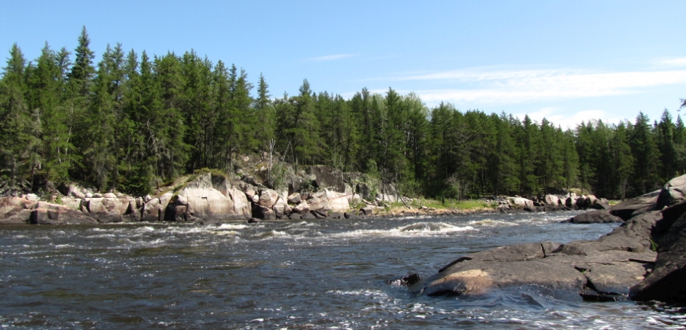
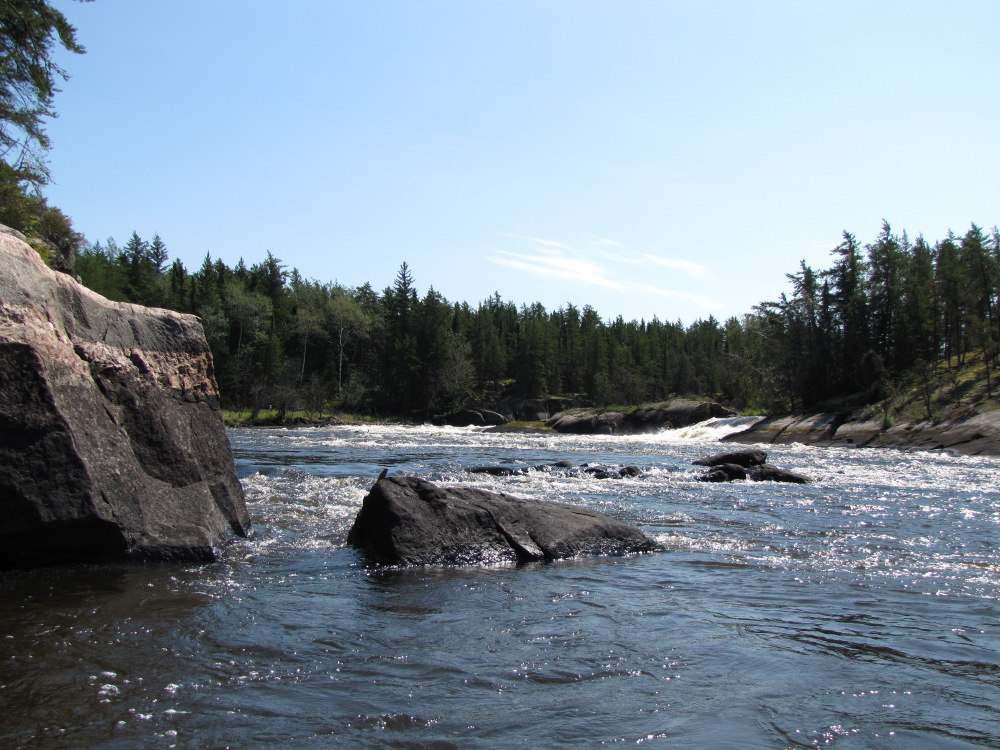
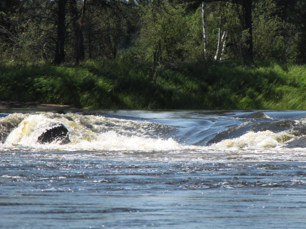
| It’s about 1km further to the easy CI at #43 shortly followed by #44 which is a high volume CIII. I got out to have a look, I considered running this one, there was one large jagged rock at the top, probably easy to pass but it made me nervous, any shakiness here might lead to a swamping and given how easy the portage was I wimped out. The usual 3 loads plus canoe drag along the slightly longer trail to a quiet lagoon at the bottom instead of trying to launch from the slopping rocks at the bottom of the rapid. |
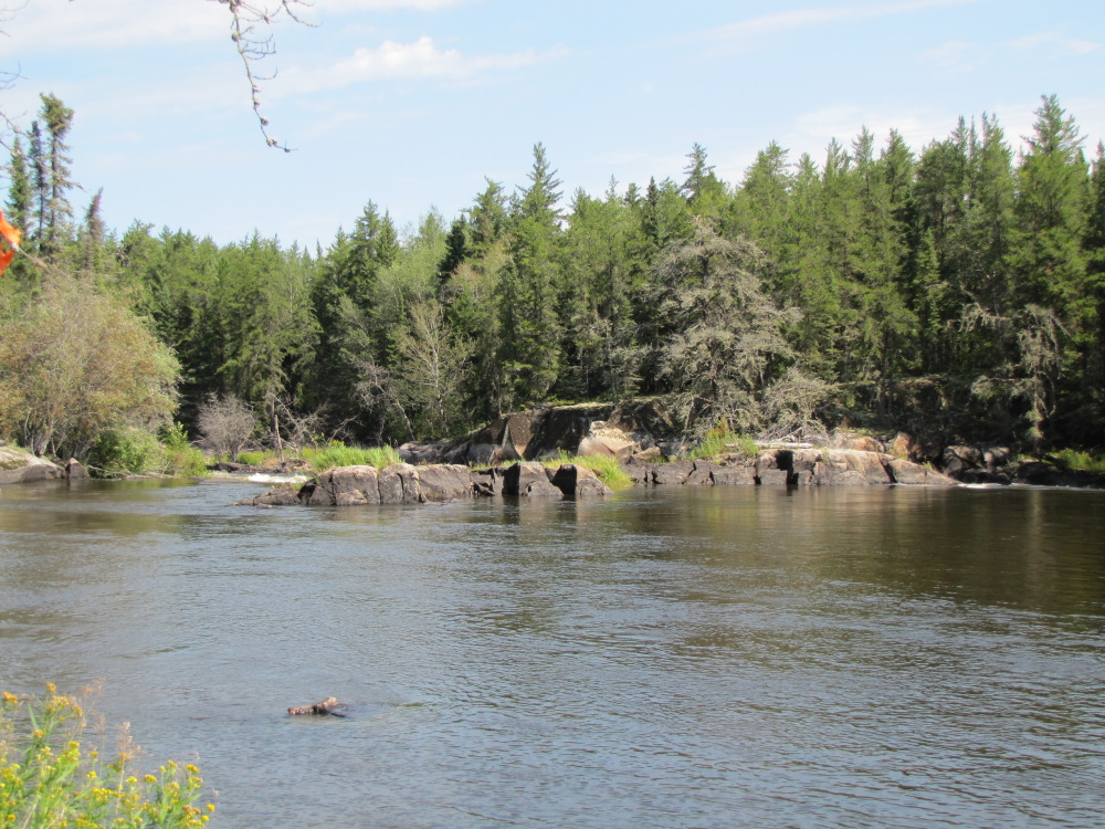
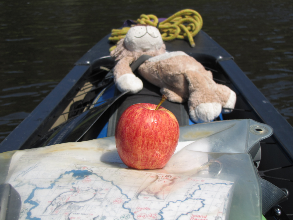
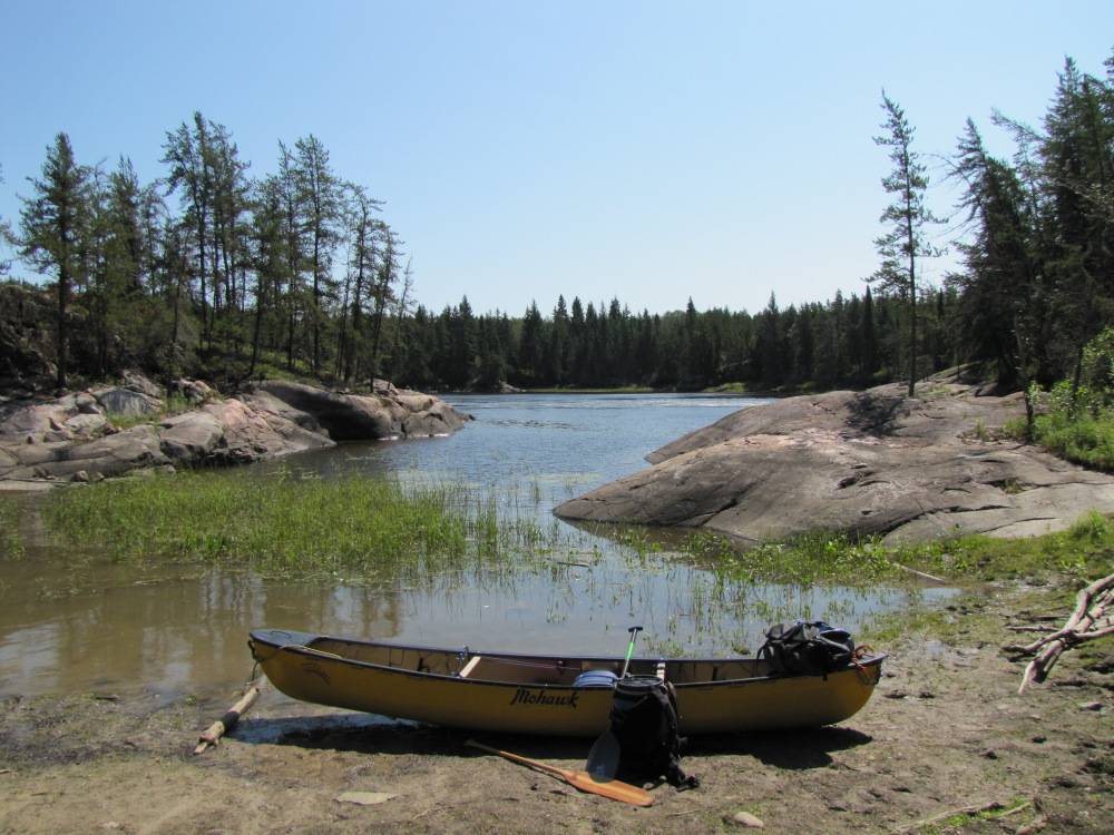
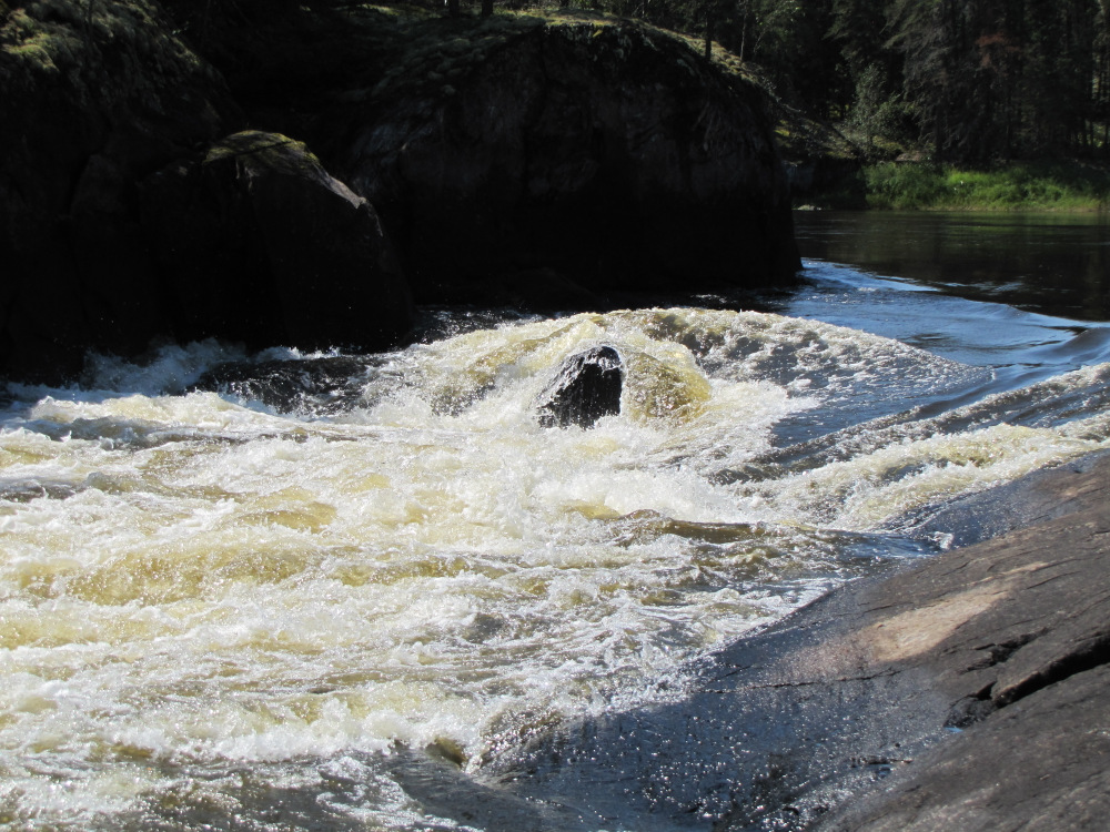
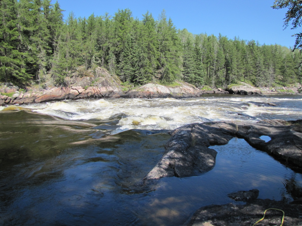
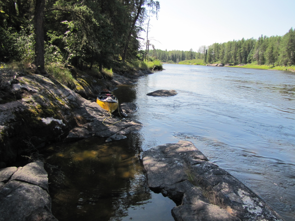
| A few swifts, a CI and a tailwind propelled me through a couple of kilometres to Okeegee Falls #46. I continued on to the portage takeout on RR, it’s a bit steep here and might be quite slippery if wet. I took one load over the trail; it ends at a large pool which leaves just a fairly easy CII bottom part. I walked over to get a better look at the main drop, at current levels it was clear that I could paddle right up to the lip and do a quick pull around instead of portaging the boat and the rest of the gear. I went back to the boat, paddled down, dragged 10 metres along the shore before putting back in. I paddled over retrieve my first load then ran the left of three channels which signified the end of this rapid and likely the end of any moving water for today. I stopped on the rocks at the bottom on RR, it was 3:20pm and I had been on the water almost 8 hours and I definitely in need of a refueling stop. I went for a quick swim and changed into shorts and a t-shirt before preparing a proper lunch. The lunch theory is that there will be one but the reality is that most days especially on a slow paced trip like this I just munch on a variety of stuff as I go along. Today I went all out, turkey, cheese and veg wrap with soup and a refill of my tea supply (plus chocolate and cookies), still have a fresh bell pepper and a few cherry tomatoes left, not too bad for day 16. |
 |
 |
 |
 |
 |
 |
 |
 |
 |
 |
 |
 |
 |
 |
 |
 |
 |
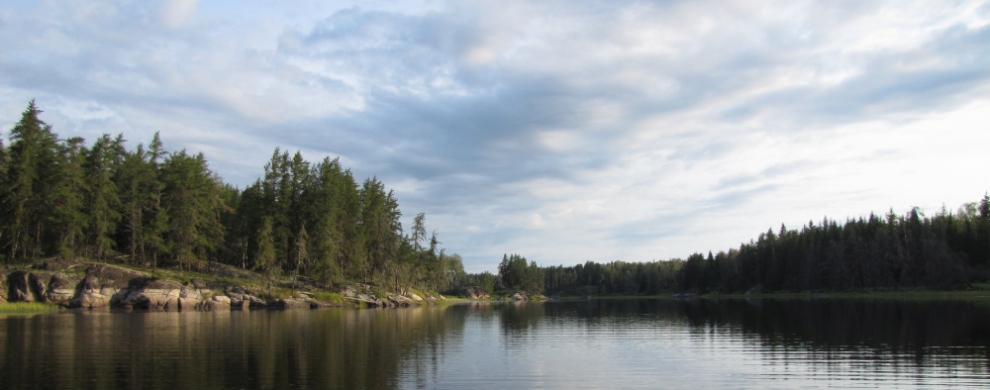
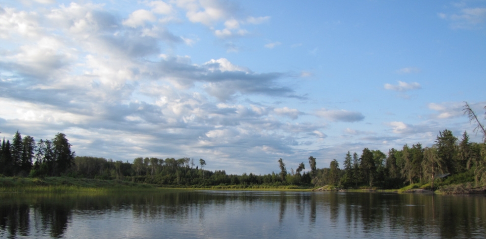
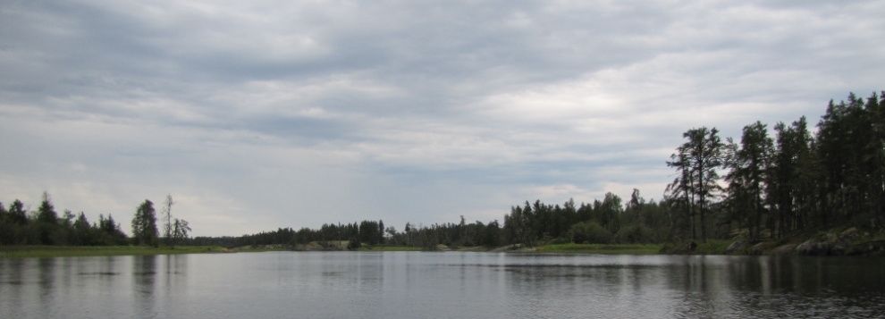
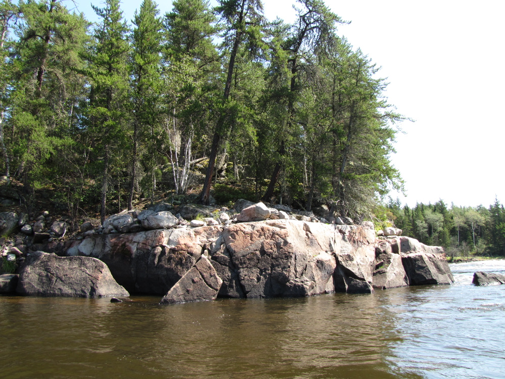
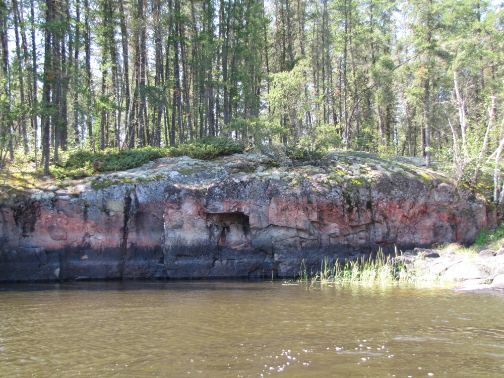
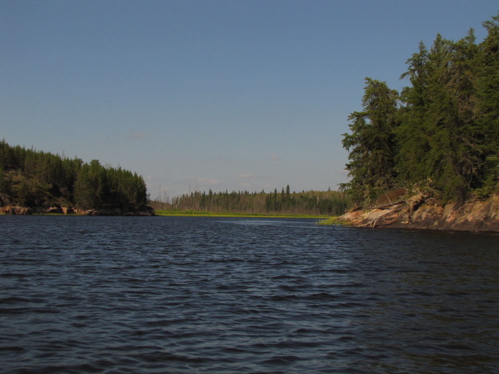
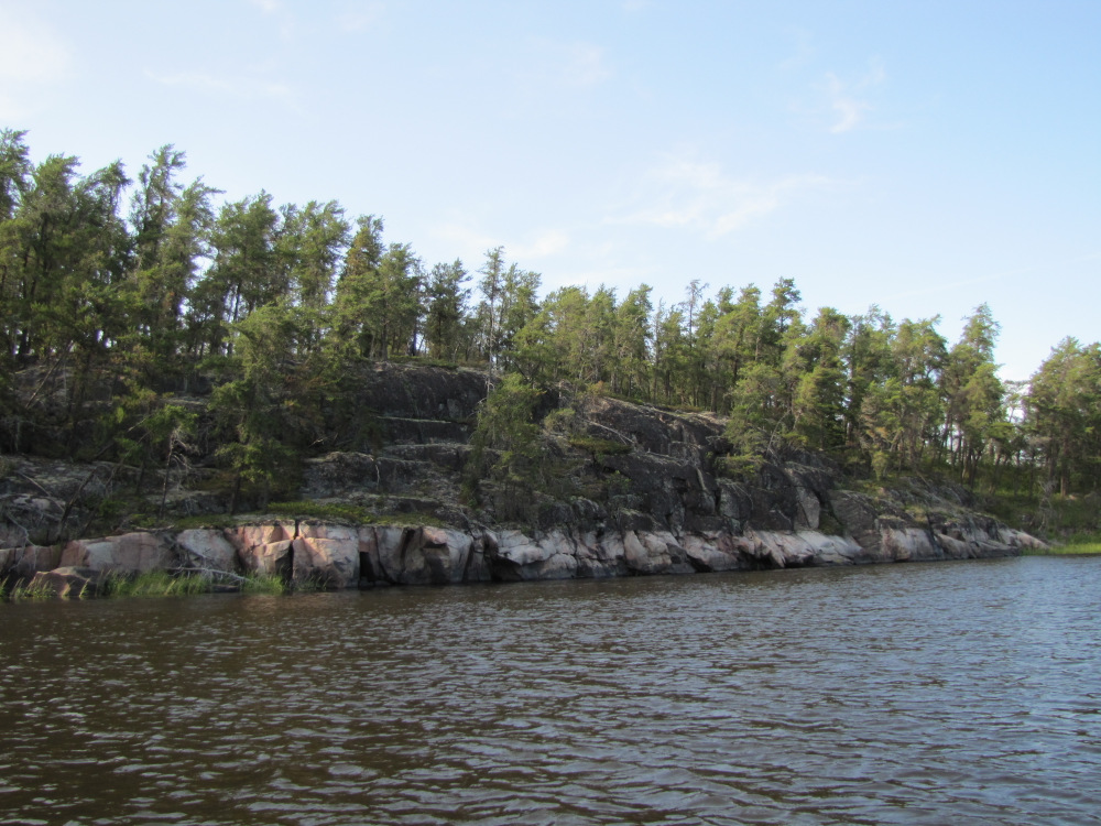
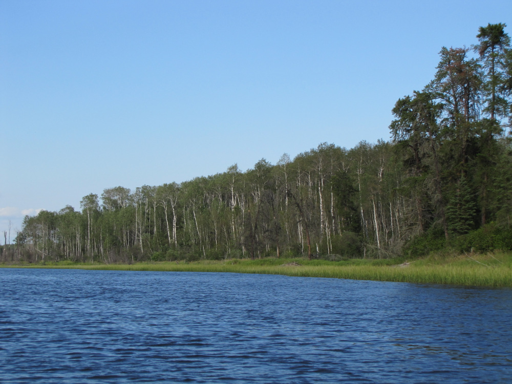
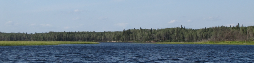
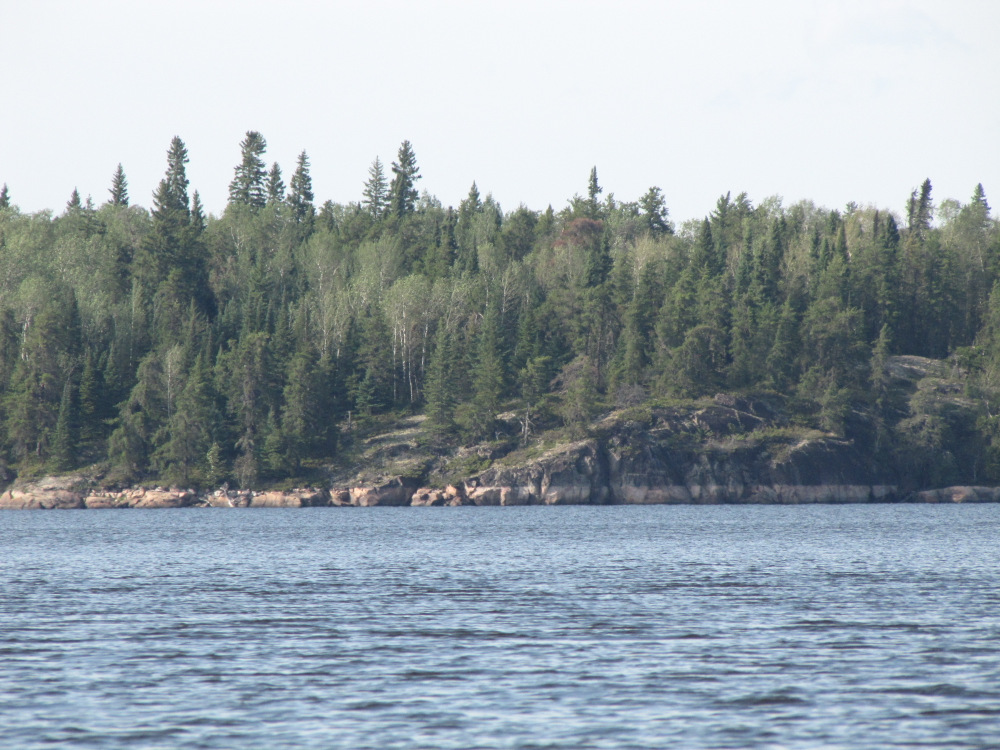
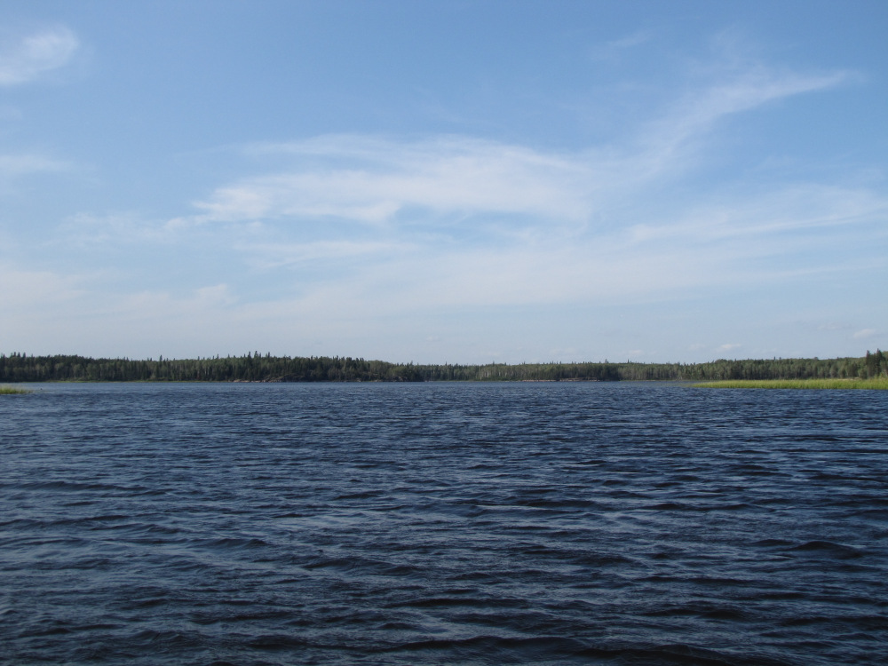
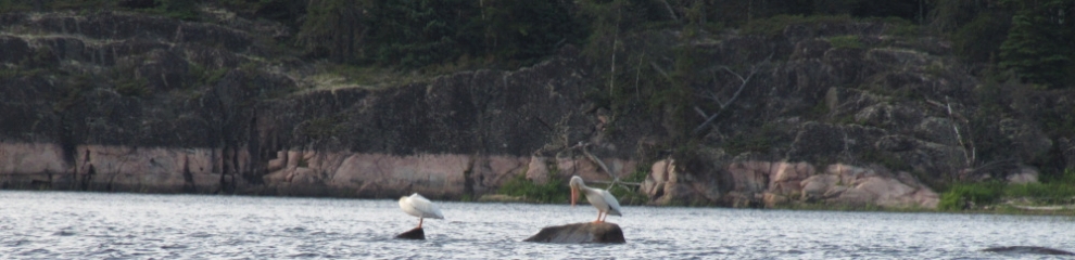
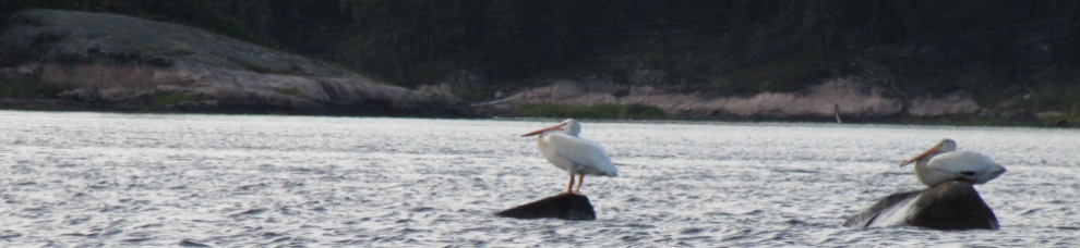
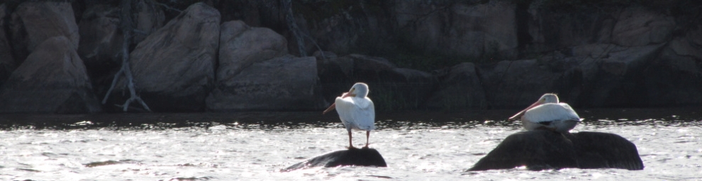
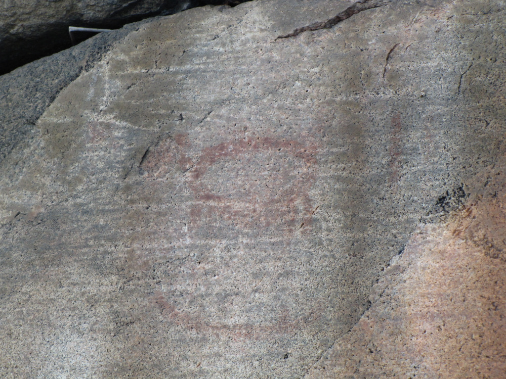
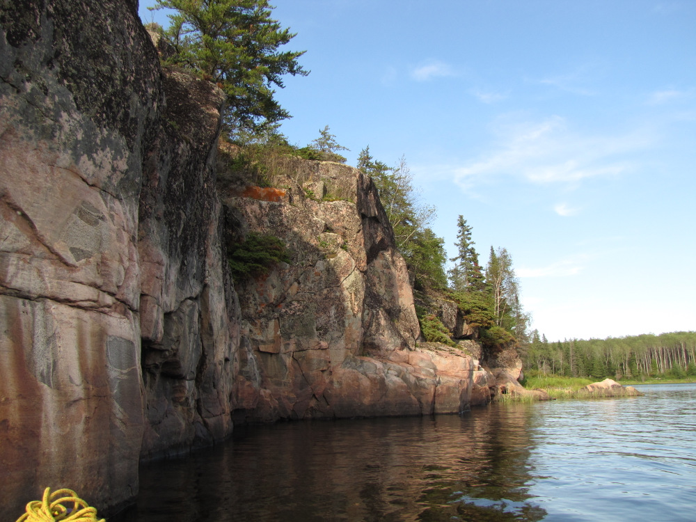
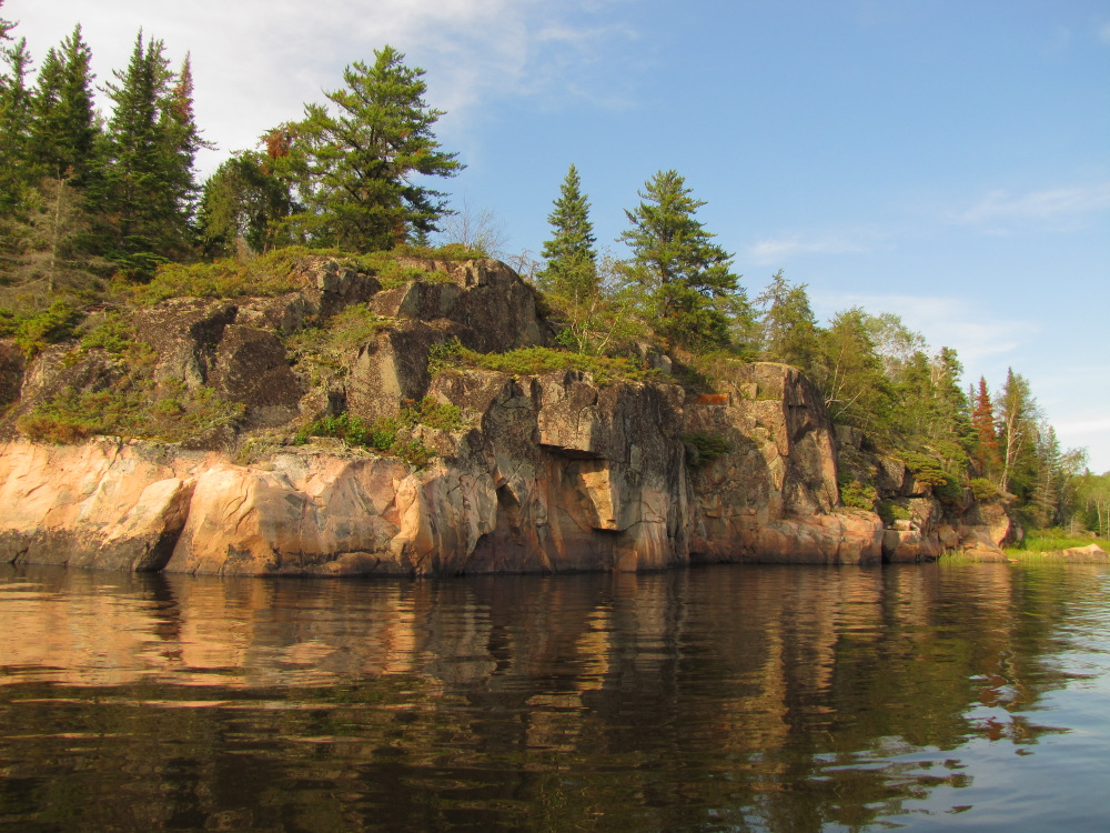
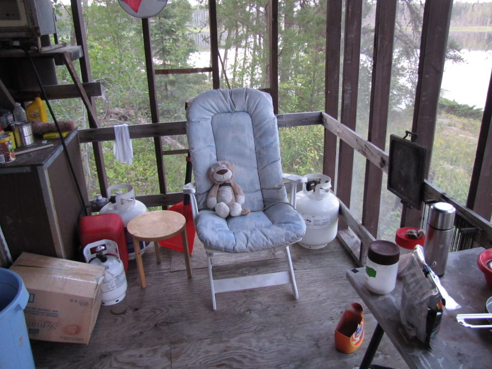
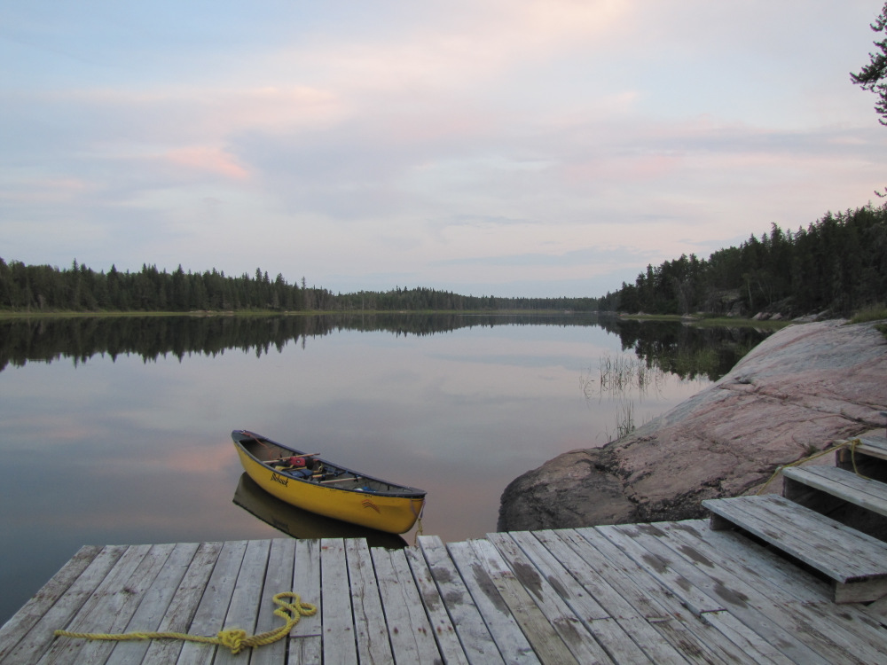
| At 4:00pm I was back on the water feeling very refreshed, I had already covered 23km and dealt with a few portages, ahead was about 6km of non-moving water leading up to Kautunigan Lake. Given the still conditions and great light this was a very pleasant paddle, bald eagles soared overhead on occasion, the usual fuzzy pictures were taken. I reached Kautunigan at 5:30pm, there was a marked campsite to the south but I felt good and wanted to cover more distance today coming off a layover. I paddled the 2.5km lake, at the far end I paddled past a pair of Pelicans as I searched for and found a small pictograph site at the rock cliffs on the right. As I turned to the west the lake transitioned back to mostly wide river, my old nemesis the sun struck again as I paddled directly into the sun as it moved lower in the sky. There was supposed to be a camp up ahead, my map showed it on the right but I suspect it was actually on the left, I had seen a smallish rock point but it looked very exposed with just a couple of stunted jack pines. The river turned to the north for a short stretch, there was another campsite marked but it was probably 7 or 8km further. I didn’t really feel like going that far but I knew I could get there before dark so I paddled on. At the end of this short section the Sasaginnigak River enters on RR as the Bloodvein does a 90 degree turn to the west. I saw a small pile of marker rocks on RL and then an obviously trail leading up and away into the trees. I stopped to have a look; I had to hike up a fair distance to a not very nice but usable spot. The trail continued further uphill to another spot which was home to several busted up lawn chairs and other assorted garbage. None of this appealed to me in the slightest. I returned to the canoe and set off blinded once gain and at this point pretty much totally. At one point I caught of glimpse of something up ahead, something that didn’t really look natural. Then it was there right in front of me, a very substantial dock, I pulled in, hopped out. Up a flight of wood stairs was a neat little cabin, clearly no one home but obviously frequently used. Obviously this was no emergency situation that would justify breaking in but I did decide to take advantage of the screen porch to set up for the night. I considered camping on the dock, it would have been fine but the well-padded deck chair on the porch beckoned! I made a MIAB and went to bed fairly early. 12 hours of travelling under the hot sun, I was ready for a long sleep. |
 |
 |
 |
 |
 |
 |
 |
 |
 |
 |
 |
 |
 |
 |
 |
 |
 |
 |
 |
 |
 |
 |
 |
 |
 |
| Previous Day | Contents | Next Day |
| Main Page |